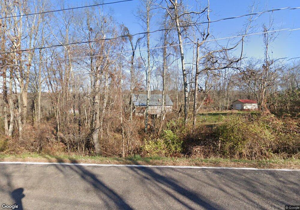
2182 State Route 29 Hwy Hunlock Creek, PA 18621
Estimated Value: $296,000 - $340,000
--
Bed
--
Bath
2,878
Sq Ft
$112/Sq Ft
Est. Value
About This Home
This home is located at 2182 State Route 29 Hwy, Hunlock Creek, PA 18621 and is currently estimated at $323,000, approximately $112 per square foot. 2182 State Route 29 Hwy is a home.
Ownership History
Date
Name
Owned For
Owner Type
Purchase Details
Closed on
Nov 1, 2018
Sold by
White John and White Cynthiana
Bought by
Rodriguez Rogers Jr Ronald R and Rodriguez Rogers Amanda
Current Estimated Value
Home Financials for this Owner
Home Financials are based on the most recent Mortgage that was taken out on this home.
Original Mortgage
$143,200
Outstanding Balance
$90,708
Interest Rate
4.9%
Mortgage Type
New Conventional
Estimated Equity
$232,292
Purchase Details
Closed on
Aug 24, 2016
Sold by
White John
Bought by
White John and White Cynthiana
Home Financials for this Owner
Home Financials are based on the most recent Mortgage that was taken out on this home.
Original Mortgage
$83,780
Interest Rate
3.43%
Mortgage Type
New Conventional
Purchase Details
Closed on
Apr 4, 2006
Sold by
White Neal A and White Margaret M
Bought by
White John
Home Financials for this Owner
Home Financials are based on the most recent Mortgage that was taken out on this home.
Original Mortgage
$92,000
Interest Rate
6.26%
Mortgage Type
New Conventional
Create a Home Valuation Report for This Property
The Home Valuation Report is an in-depth analysis detailing your home's value as well as a comparison with similar homes in the area
Home Values in the Area
Average Home Value in this Area
Purchase History
| Date | Buyer | Sale Price | Title Company |
|---|---|---|---|
| Rodriguez Rogers Jr Ronald R | $179,000 | None Available | |
| White John | -- | Servicelink | |
| White John | $125,000 | None Available |
Source: Public Records
Mortgage History
| Date | Status | Borrower | Loan Amount |
|---|---|---|---|
| Open | Rodriguez Rogers Jr Ronald R | $143,200 | |
| Previous Owner | White John | $83,780 | |
| Previous Owner | White John | $92,000 |
Source: Public Records
Tax History Compared to Growth
Tax History
| Year | Tax Paid | Tax Assessment Tax Assessment Total Assessment is a certain percentage of the fair market value that is determined by local assessors to be the total taxable value of land and additions on the property. | Land | Improvement |
|---|---|---|---|---|
| 2025 | $4,150 | $187,800 | $44,500 | $143,300 |
| 2024 | $4,107 | $187,800 | $44,500 | $143,300 |
| 2023 | $4,107 | $187,800 | $44,500 | $143,300 |
| 2022 | $3,884 | $187,800 | $44,500 | $143,300 |
| 2021 | $3,727 | $187,800 | $44,500 | $143,300 |
| 2020 | $3,727 | $187,800 | $44,500 | $143,300 |
| 2019 | $3,589 | $187,800 | $44,500 | $143,300 |
| 2018 | $3,442 | $187,800 | $44,500 | $143,300 |
| 2017 | $3,382 | $187,800 | $44,500 | $143,300 |
| 2016 | -- | $187,800 | $44,500 | $143,300 |
| 2015 | -- | $187,800 | $44,500 | $143,300 |
| 2014 | -- | $187,800 | $44,500 | $143,300 |
Source: Public Records
Map
Nearby Homes
- 46 Country Crest Ln
- 0 Moon Lake Rd
- 141 Sayre Rd
- 15 Pearl St
- 32 Lake Ave
- 641 Sorbertown Hill Rd
- 983 Swamp Rd
- 127 White Oak Dr
- 107 White Oak Dr
- 73 Adams Dr
- 4B, C, & D Hayfield Rd
- 1B & C Hayfield Rd
- 85 Sorbertown Hill Rd
- 86 George St
- 106 N N Mill St
- Lot 54 Garden Dr
- 609 Main Rd
- 2637 Chase Rd
- 1011 Mill St
- 130 Jackson Rd
- 2181 Pennsylvania 29
- 2182 Pennsylvania 29
- 2206 State Route 29 Hwy
- 2152 State Route 29 Hwy
- 3 Thorny Apple Dr
- 2153 State Route 29 Hwy
- 2142 Pennsylvania 29
- 14 Thorny Apple Dr
- 8 Thorny Apple Dr
- 23 Thorny Apple Dr
- 2217 State Route 29 Hwy
- 2138 Pennsylvania 29
- 2142 State Route 29 Hwy
- 2138 State Route 29 Hwy
- 2139 State Route 29 Hwy
- 2139 Pennsylvania 29
- 26 Thorny Apple Dr
- 31 Thorny Apple Dr
- 42 Thorny Apple Dr
- 2235 State Route 29 Hwy