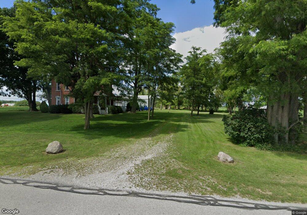
21823 County Road M West Unity, OH 43570
Estimated Value: $246,751 - $301,000
4
Beds
2
Baths
1,792
Sq Ft
$151/Sq Ft
Est. Value
About This Home
This home is located at 21823 County Road M, West Unity, OH 43570 and is currently estimated at $269,938, approximately $150 per square foot. 21823 County Road M is a home located in Williams County with nearby schools including Hilltop Elementary School and Hilltop High School.
Ownership History
Date
Name
Owned For
Owner Type
Purchase Details
Closed on
Oct 27, 2006
Sold by
Zielinski Frank P and Zielinski Kimberly A
Bought by
Stimpfle Lane B
Current Estimated Value
Home Financials for this Owner
Home Financials are based on the most recent Mortgage that was taken out on this home.
Original Mortgage
$75,000
Outstanding Balance
$43,623
Interest Rate
6.38%
Mortgage Type
New Conventional
Estimated Equity
$226,315
Purchase Details
Closed on
Jul 13, 1998
Sold by
Ward M Jolene And
Bought by
Zielinski Frank P and Zielinski Kimberly A
Purchase Details
Closed on
Jan 1, 1990
Bought by
Ward M Jolene And
Create a Home Valuation Report for This Property
The Home Valuation Report is an in-depth analysis detailing your home's value as well as a comparison with similar homes in the area
Purchase History
| Date | Buyer | Sale Price | Title Company |
|---|---|---|---|
| Stimpfle Lane B | $150,000 | None Available | |
| Zielinski Frank P | $97,900 | -- | |
| Ward M Jolene And | -- | -- |
Source: Public Records
Mortgage History
| Date | Status | Borrower | Loan Amount |
|---|---|---|---|
| Open | Stimpfle Lane B | $75,000 |
Source: Public Records
Tax History
| Year | Tax Paid | Tax Assessment Tax Assessment Total Assessment is a certain percentage of the fair market value that is determined by local assessors to be the total taxable value of land and additions on the property. | Land | Improvement |
|---|---|---|---|---|
| 2025 | $2,382 | $75,810 | $9,100 | $66,710 |
| 2024 | $2,382 | $75,810 | $9,100 | $66,710 |
| 2023 | $2,440 | $60,000 | $8,790 | $51,210 |
| 2022 | $2,643 | $60,000 | $8,790 | $51,210 |
| 2021 | $2,643 | $60,000 | $8,790 | $51,210 |
| 2020 | $2,267 | $50,020 | $7,350 | $42,670 |
| 2019 | $2,229 | $50,020 | $7,350 | $42,670 |
| 2018 | $2,140 | $50,020 | $7,350 | $42,670 |
| 2017 | $2,118 | $47,460 | $7,280 | $40,180 |
| 2016 | $2,024 | $47,460 | $7,280 | $40,180 |
| 2015 | $2,009 | $47,460 | $7,280 | $40,180 |
| 2014 | $2,009 | $43,160 | $6,620 | $36,540 |
| 2013 | $1,986 | $43,160 | $6,620 | $36,540 |
Source: Public Records
Map
Nearby Homes
- 22227 Us Highway 20a
- 902 E Church St
- 000 W Jackson
- 502 N Lincoln St
- 611 W Jackson St
- 613 W Jackson St
- 9019 19-50 Rd
- 20095 County Road H50
- 21672 County Road J
- 35 Rehn Dr
- Lot 35 of Rehn Dr
- 310 Irene Ct
- 8437 18 Rd
- 203 College St
- 404 S Fayette St
- 301 E Spring St
- 433 Primrose Ln
- 301 N Pointe Dr
- 800 Walnut St
- 300 Degroff Ave
- 21625 County Road M
- 21538 County Road M
- 22235 County Road M
- 220216 Co Rd I-50
- 21515 County Road M50
- 12473 County Road 2150
- 21363 County Road M50
- 12386 County Road 2150
- 13602 County Road 2230
- 21043 County Road M
- 21059 County Road M
- 12341 County Road 2150
- 22581 County Road M50
- 22575 County Road M50
- M-50 Rd Rd
Your Personal Tour Guide
Ask me questions while you tour the home.