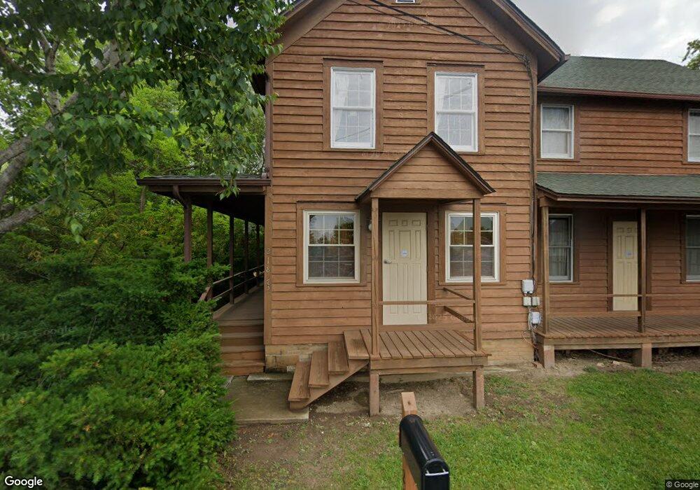
21823 N Weiland Rd Prairie View, IL 60069
Northeast Buffalo Grove NeighborhoodEstimated Value: $383,000 - $599,000
--
Bed
2
Baths
2,044
Sq Ft
$231/Sq Ft
Est. Value
About This Home
This home is located at 21823 N Weiland Rd, Prairie View, IL 60069 and is currently estimated at $472,210, approximately $231 per square foot. 21823 N Weiland Rd is a home located in Lake County with nearby schools including Meridian Middle School, Earl Pritchett School, and Aptakisic Junior High School.
Ownership History
Date
Name
Owned For
Owner Type
Purchase Details
Closed on
May 8, 2013
Sold by
Chicago Title Land Trust Co
Bought by
Pamula Roman W and Roman W Pamula And Malgorzata Declaratio
Current Estimated Value
Purchase Details
Closed on
May 28, 1997
Sold by
Pamula Roman W
Bought by
Cosmopolitan Bank & Trust and Trust #30619
Create a Home Valuation Report for This Property
The Home Valuation Report is an in-depth analysis detailing your home's value as well as a comparison with similar homes in the area
Home Values in the Area
Average Home Value in this Area
Purchase History
| Date | Buyer | Sale Price | Title Company |
|---|---|---|---|
| Pamula Roman W | -- | Chicago Title Land Trust Com | |
| Cosmopolitan Bank & Trust | -- | -- |
Source: Public Records
Tax History Compared to Growth
Tax History
| Year | Tax Paid | Tax Assessment Tax Assessment Total Assessment is a certain percentage of the fair market value that is determined by local assessors to be the total taxable value of land and additions on the property. | Land | Improvement |
|---|---|---|---|---|
| 2024 | $4,064 | $60,100 | $31,288 | $28,812 |
| 2023 | $4,208 | $56,709 | $29,523 | $27,186 |
| 2022 | $4,208 | $56,488 | $29,408 | $27,080 |
| 2021 | $4,043 | $55,879 | $29,091 | $26,788 |
| 2020 | $3,954 | $56,069 | $29,190 | $26,879 |
| 2019 | $3,847 | $55,862 | $29,082 | $26,780 |
| 2018 | $3,630 | $53,812 | $28,015 | $25,797 |
| 2017 | $3,567 | $52,556 | $27,361 | $25,195 |
| 2016 | $3,410 | $50,326 | $26,200 | $24,126 |
| 2015 | $3,289 | $47,064 | $24,502 | $22,562 |
| 2014 | $3,376 | $47,688 | $24,827 | $22,861 |
| 2012 | $3,781 | $47,784 | $24,877 | $22,907 |
Source: Public Records
Map
Nearby Homes
- 16202 W Aptakisic Rd
- 22118 N Prairie Rd
- 1157 Russellwood Ct
- 148 White Branch Ct
- Walker Plan at The Townes at Barclay
- Teagan Plan at The Townes at Barclay
- Valor Plan at The Townes at Barclay
- York Plan at The Townes at Barclay
- 15 Thompson Ct
- 60 E Fabish Dr
- 393 Bentley Place
- 381 Bentley Place
- 1272 Sandhurst Dr
- 2033 Olive Hill Dr
- 1012 Hobson Dr
- 268 Hoffmann Dr
- 4 Daybreak Terrace
- 51 W Fabish Dr
- 10 Chestnut Ct E
- 5 Willow Pkwy Unit 892
- 21797 N Weiland Rd
- 16055 W Depot Place
- 16077 W Depot Place
- 16069 W Depot Place
- 1510 Quaker Hollow Ct N
- 1512 Quaker Hollow Ct N
- 1519 Madison Ct N
- 1514 Quaker Hollow Ct N
- 1508 Quaker Hollow Ct N
- 21900 N Weiland Rd
- 1521 Madison Ct N
- 1516 Quaker Hollow Ct N
- 1517 Madison Ct N
- 1506 Quaker Hollow Ct N
- 1523 Madison Ct N
- 1515 Madison Ct N
- 1502 Quaker Hollow Ct N
- 402 Thompson Blvd
- 1504 Quaker Hollow Ct N
- 15 Thompson Blvd