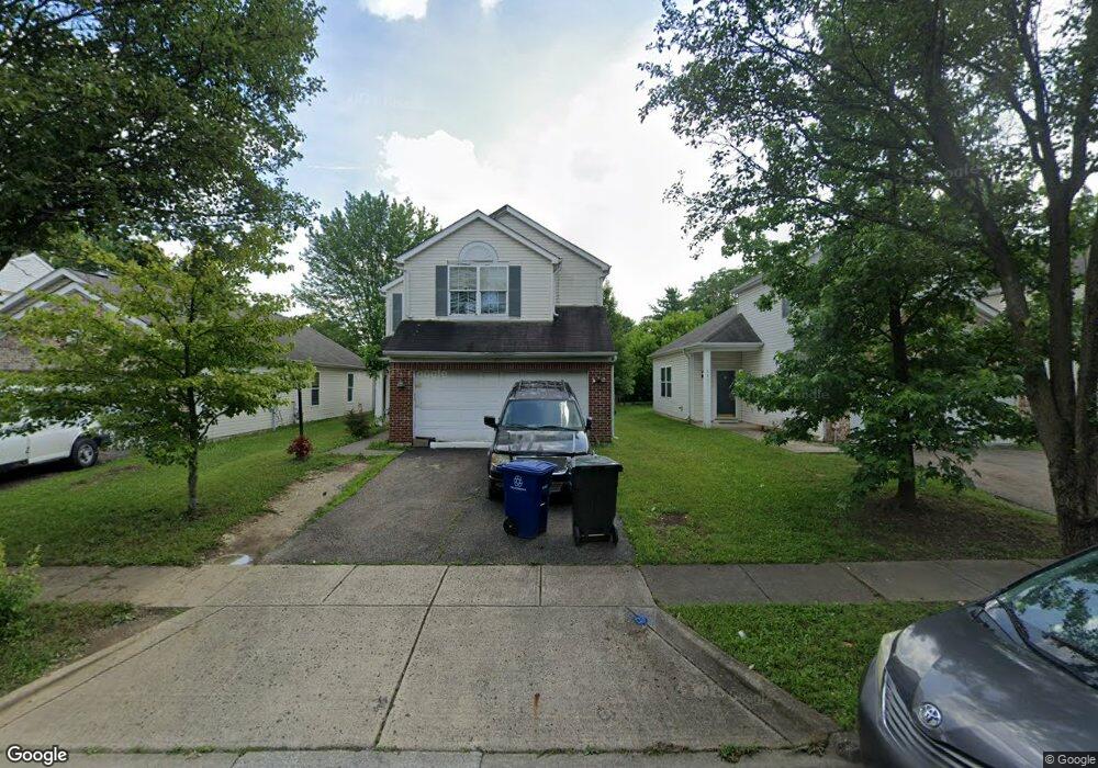
2183 Margo Rd Columbus, OH 43229
Forest Park East NeighborhoodEstimated Value: $278,271 - $298,000
3
Beds
3
Baths
1,592
Sq Ft
$183/Sq Ft
Est. Value
About This Home
This home is located at 2183 Margo Rd, Columbus, OH 43229 and is currently estimated at $292,068, approximately $183 per square foot. 2183 Margo Rd is a home located in Franklin County with nearby schools including Northtowne Elementary School, Woodward Park Middle School, and Northland High School.
Ownership History
Date
Name
Owned For
Owner Type
Purchase Details
Closed on
Feb 5, 2008
Sold by
Hud
Bought by
Farmer Cathy
Current Estimated Value
Home Financials for this Owner
Home Financials are based on the most recent Mortgage that was taken out on this home.
Original Mortgage
$86,173
Outstanding Balance
$54,752
Interest Rate
6.2%
Mortgage Type
FHA
Estimated Equity
$237,316
Purchase Details
Closed on
Oct 25, 2006
Sold by
Wilson Philip L and Flagstar Bank Fsb
Bought by
Hud
Purchase Details
Closed on
Apr 27, 2000
Sold by
M/I Schottenstein Homes Inc
Bought by
Wilson Phillip L and Wilson Judith A
Home Financials for this Owner
Home Financials are based on the most recent Mortgage that was taken out on this home.
Original Mortgage
$139,651
Interest Rate
8.24%
Mortgage Type
FHA
Create a Home Valuation Report for This Property
The Home Valuation Report is an in-depth analysis detailing your home's value as well as a comparison with similar homes in the area
Home Values in the Area
Average Home Value in this Area
Purchase History
| Date | Buyer | Sale Price | Title Company |
|---|---|---|---|
| Farmer Cathy | $85,000 | Lakeside Ti | |
| Hud | $95,000 | Ohio Title | |
| Wilson Phillip L | $140,900 | Transohio Residential Title |
Source: Public Records
Mortgage History
| Date | Status | Borrower | Loan Amount |
|---|---|---|---|
| Open | Farmer Cathy | $86,173 | |
| Previous Owner | Wilson Phillip L | $139,651 |
Source: Public Records
Tax History Compared to Growth
Tax History
| Year | Tax Paid | Tax Assessment Tax Assessment Total Assessment is a certain percentage of the fair market value that is determined by local assessors to be the total taxable value of land and additions on the property. | Land | Improvement |
|---|---|---|---|---|
| 2024 | $3,278 | $73,050 | $15,120 | $57,930 |
| 2023 | $3,237 | $73,045 | $15,120 | $57,925 |
| 2022 | $2,425 | $46,550 | $7,560 | $38,990 |
| 2021 | $2,419 | $46,550 | $7,560 | $38,990 |
| 2020 | $2,422 | $46,550 | $7,560 | $38,990 |
| 2019 | $2,219 | $36,580 | $6,060 | $30,520 |
| 2018 | $2,335 | $36,580 | $6,060 | $30,520 |
| 2017 | $2,218 | $36,580 | $6,060 | $30,520 |
| 2016 | $2,704 | $40,820 | $9,000 | $31,820 |
| 2015 | $2,455 | $40,820 | $9,000 | $31,820 |
| 2014 | $2,461 | $40,820 | $9,000 | $31,820 |
| 2013 | $1,277 | $42,945 | $9,450 | $33,495 |
Source: Public Records
Map
Nearby Homes
- 2244 Balmoral Rd
- 4714 Ascot Dr
- 4849 Heatherton Dr
- 2134 Trent Rd
- 4885 Northtowne Blvd
- 2033 Brittany Rd
- 2166 Waldorf Rd
- 2158 Kilbourne Ave
- 0 Claridon Rd
- 4309 Walford St
- 0 Abington Rd Unit 224031739
- 0 Abington Rd Unit 224031704
- 0 Abington Rd Unit 224031738
- 0 Abington Rd Unit 225043508
- 0 Abington Rd Unit 224031699
- 0 Abington Rd Unit 225043547
- 0 Chester Rd
- 2594 Adda Ave
- 2576 Claridon Rd
- 2625 Clybourne Rd