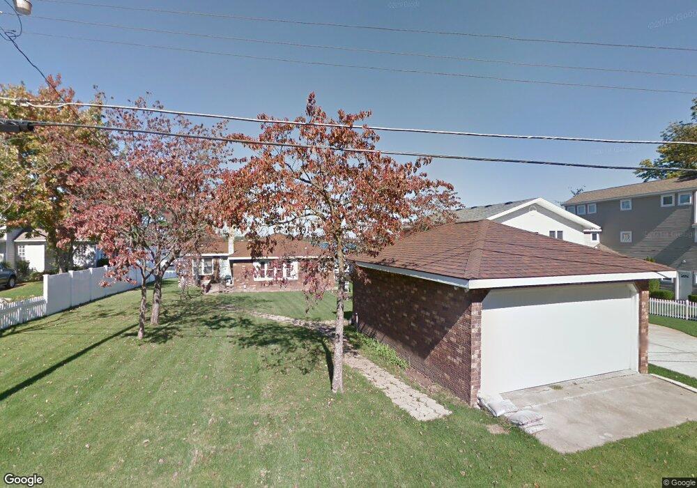
21838 Lake St Cassopolis, MI 49031
Estimated Value: $870,000 - $1,046,000
--
Bed
--
Bath
--
Sq Ft
8,276
Sq Ft Lot
About This Home
This home is located at 21838 Lake St, Cassopolis, MI 49031 and is currently estimated at $938,005. 21838 Lake St is a home located in Cass County with nearby schools including Sam Adams Elementary School, Cassopolis Middle School, and Cassopolis Ross Beatty High School.
Ownership History
Date
Name
Owned For
Owner Type
Purchase Details
Closed on
Oct 25, 2016
Sold by
Moore Alexander K and Moore Sandra M
Bought by
Moore Alexander K and Alexander K Moore Revocable Li
Current Estimated Value
Purchase Details
Closed on
Aug 21, 2009
Sold by
Estate Of Phillip Frederick Molica
Bought by
Moore Alexander K and Moore Sandra M
Home Financials for this Owner
Home Financials are based on the most recent Mortgage that was taken out on this home.
Original Mortgage
$417,000
Outstanding Balance
$272,856
Interest Rate
5.28%
Mortgage Type
New Conventional
Estimated Equity
$665,149
Create a Home Valuation Report for This Property
The Home Valuation Report is an in-depth analysis detailing your home's value as well as a comparison with similar homes in the area
Home Values in the Area
Average Home Value in this Area
Purchase History
| Date | Buyer | Sale Price | Title Company |
|---|---|---|---|
| Moore Alexander K | -- | Attorney | |
| Moore Alexander K | $575,000 | Cass County Title Office Inc |
Source: Public Records
Mortgage History
| Date | Status | Borrower | Loan Amount |
|---|---|---|---|
| Open | Moore Alexander K | $417,000 |
Source: Public Records
Tax History Compared to Growth
Tax History
| Year | Tax Paid | Tax Assessment Tax Assessment Total Assessment is a certain percentage of the fair market value that is determined by local assessors to be the total taxable value of land and additions on the property. | Land | Improvement |
|---|---|---|---|---|
| 2025 | $8,664 | $397,900 | $397,900 | $0 |
| 2024 | $2,077 | $334,700 | $334,700 | $0 |
| 2023 | $1,980 | $332,400 | $0 | $0 |
| 2022 | $1,886 | $330,000 | $0 | $0 |
| 2021 | $4,397 | $328,100 | $0 | $0 |
| 2020 | $1,809 | $328,100 | $0 | $0 |
| 2019 | $4,140 | $330,200 | $0 | $0 |
| 2018 | $1,736 | $328,400 | $0 | $0 |
| 2017 | $1,701 | $328,600 | $0 | $0 |
| 2016 | $1,685 | $156,900 | $0 | $0 |
| 2015 | -- | $172,500 | $0 | $0 |
| 2011 | -- | $245,900 | $0 | $0 |
Source: Public Records
Map
Nearby Homes
- 21373 Sail Bay Dr
- Tract 7 Brookside Ct
- Tract 6 Brookside Ct
- Tract 5 Brookside Ct
- Tract 4 Deep Woods Dr
- Tract 3 Deep Woods Dr
- Tract #2 Deep Woods Dr
- Tract 1 Deep Woods Dr
- 22345 Woodland St
- 22301 Forest Ave
- 61738 Lake View Dr
- V/L M 62
- 61412 Walnut St
- 61271 Lenawee Rd
- 813 Park Shore Dr
- 61189 Lenawee Rd
- 21687 Shiawassee Dr
- 60757 Beechwood Ln
- 408 E Water St
- 61626 Colony Bay Dr Unit 15