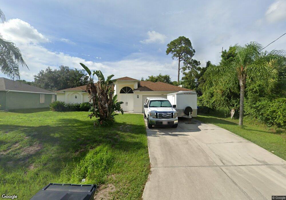
2184 Altitude Ave North Port, FL 34286
Estimated Value: $285,607 - $335,000
3
Beds
2
Baths
1,692
Sq Ft
$179/Sq Ft
Est. Value
About This Home
This home is located at 2184 Altitude Ave, North Port, FL 34286 and is currently estimated at $302,902, approximately $179 per square foot. 2184 Altitude Ave is a home located in Sarasota County with nearby schools including Toledo Blade Elementary School, North Port High School, and Woodland Middle School.
Ownership History
Date
Name
Owned For
Owner Type
Purchase Details
Closed on
Jun 9, 2010
Sold by
Manna Roberta A
Bought by
Janeveski Zvonko and Janeveska Gorana
Current Estimated Value
Purchase Details
Closed on
Dec 21, 2005
Sold by
American Dream Builders Inc
Bought by
Manna Roberta A
Home Financials for this Owner
Home Financials are based on the most recent Mortgage that was taken out on this home.
Original Mortgage
$10,000
Interest Rate
6.28%
Mortgage Type
Credit Line Revolving
Create a Home Valuation Report for This Property
The Home Valuation Report is an in-depth analysis detailing your home's value as well as a comparison with similar homes in the area
Home Values in the Area
Average Home Value in this Area
Purchase History
| Date | Buyer | Sale Price | Title Company |
|---|---|---|---|
| Janeveski Zvonko | $105,000 | Db Premier Title Of Florida | |
| Manna Roberta A | $177,800 | Florida Coastal Title Insura |
Source: Public Records
Mortgage History
| Date | Status | Borrower | Loan Amount |
|---|---|---|---|
| Previous Owner | Manna Roberta A | $10,000 | |
| Previous Owner | Manna Roberta A | $142,196 |
Source: Public Records
Tax History Compared to Growth
Tax History
| Year | Tax Paid | Tax Assessment Tax Assessment Total Assessment is a certain percentage of the fair market value that is determined by local assessors to be the total taxable value of land and additions on the property. | Land | Improvement |
|---|---|---|---|---|
| 2024 | $4,429 | $235,060 | -- | -- |
| 2023 | $4,044 | $253,600 | $15,300 | $238,300 |
| 2022 | $4,109 | $261,500 | $21,000 | $240,500 |
| 2021 | $3,476 | $178,100 | $10,200 | $167,900 |
| 2020 | $3,285 | $164,600 | $9,700 | $154,900 |
| 2019 | $3,281 | $164,500 | $9,200 | $155,300 |
| 2018 | $2,952 | $153,400 | $8,700 | $144,700 |
| 2017 | $2,848 | $142,432 | $0 | $0 |
| 2016 | $2,745 | $142,800 | $4,800 | $138,000 |
| 2015 | $2,514 | $118,800 | $4,300 | $114,500 |
| 2014 | $2,371 | $97,284 | $0 | $0 |
Source: Public Records
Map
Nearby Homes
- Lot 32 Baltimore St
- 0 Ann Arbor Rd Unit A4520722
- 2468 Burlington St
- LOT 45 Burlington St
- LOT 44 Burlington St
- 0 Circleville St Unit MFRC7506886
- 0 Circleville St Unit MFRC7492644
- 0 Circleville St Unit MFRC7492646
- 2111 Baltimore St
- 2267 Cincinnati St
- 2343 Cincinnati St
- Lot 5 Alhaven Terrace
- 2031 Baltimore St
- 0 Alhaven Terrace Unit MFRN6130985
- 2551 Alhaven Terrace
- 0 Snover Ave
- 1956 Snover Ave
- 2533 Cincinnati St
- 0 Yacolt Ave Unit MFRA4665223
- 0 Allsup Terrace Unit MFRA4650652
- 2192 Altitude Ave
- 2256 Ann Arbor Rd
- 2156 Altitude Ave
- 0 Altitude Ave Unit R4706492
- 2191 Altitude Ave
- 2163 Altitude Ave
- 2136 Altitude Ave
- 2232 Ann Arbor Rd
- 2220 Altitude Ave
- 2268 Ann Arbor Rd
- 2149 Altitude Ave
- 2224 Ann Arbor Rd
- 2114 Alliance Ave
- 2100 Alliance Ave
- 2128 Alliance Ave
- 2114 Altitude Ave
- 2128 Avenue
- 2234 Altitude Ave
- 2241 Burlington St
- 2142 Alliance Ave