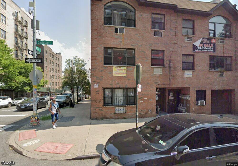
2184 Davidson Ave Bronx, NY 10453
University Heights NeighborhoodEstimated Value: $1,007,000 - $1,142,000
Studio
--
Bath
3,000
Sq Ft
$360/Sq Ft
Est. Value
About This Home
This home is located at 2184 Davidson Ave, Bronx, NY 10453 and is currently estimated at $1,078,899, approximately $359 per square foot. 2184 Davidson Ave is a home located in Bronx County with nearby schools including P.S. 91 Bronx, Is 206 Ann Mersereau, and KIPP Bronx Charter School II.
Ownership History
Date
Name
Owned For
Owner Type
Purchase Details
Closed on
Aug 24, 2007
Sold by
182Nd Development Corp
Bought by
Martir Marina and Martir Salvador
Current Estimated Value
Home Financials for this Owner
Home Financials are based on the most recent Mortgage that was taken out on this home.
Original Mortgage
$678,030
Outstanding Balance
$429,075
Interest Rate
6.65%
Mortgage Type
Purchase Money Mortgage
Estimated Equity
$649,824
Create a Home Valuation Report for This Property
The Home Valuation Report is an in-depth analysis detailing your home's value as well as a comparison with similar homes in the area
Home Values in the Area
Average Home Value in this Area
Purchase History
| Date | Buyer | Sale Price | Title Company |
|---|---|---|---|
| Martir Marina | $699,000 | -- |
Source: Public Records
Mortgage History
| Date | Status | Borrower | Loan Amount |
|---|---|---|---|
| Open | Martir Marina | $678,030 |
Source: Public Records
Tax History
| Year | Tax Paid | Tax Assessment Tax Assessment Total Assessment is a certain percentage of the fair market value that is determined by local assessors to be the total taxable value of land and additions on the property. | Land | Improvement |
|---|---|---|---|---|
| 2025 | $6,545 | $32,832 | $4,676 | $28,156 |
| 2024 | $6,545 | $32,586 | $4,389 | $28,197 |
| 2023 | $6,243 | $30,742 | $4,791 | $25,951 |
| 2022 | $5,790 | $56,580 | $8,340 | $48,240 |
| 2021 | $5,758 | $47,760 | $8,340 | $39,420 |
| 2020 | $5,791 | $41,520 | $8,340 | $33,180 |
| 2019 | $5,681 | $39,600 | $8,340 | $31,260 |
| 2018 | $5,222 | $25,618 | $6,347 | $19,271 |
| 2017 | $4,927 | $24,168 | $7,028 | $17,140 |
| 2016 | $4,558 | $22,800 | $8,340 | $14,460 |
| 2015 | $4,350 | $25,980 | $7,200 | $18,780 |
| 2014 | $4,350 | $25,980 | $7,200 | $18,780 |
Source: Public Records
Map
Nearby Homes
- 6 Cameron Place
- 2161 Walton Ave
- 2155 Walton Ave
- 2128 Aqueduct Ave E
- 2084 Davidson Ave
- 2201 University Ave
- 2308 Morris Ave
- 78 W 180th St
- 2256 Andrews Ave
- 2019 Walton Ave
- 2017 Walton Ave
- 2298 Loring Place N
- 2400 Davidson Ave Unit B23
- 2410 Davidson Ave Unit B5
- 2410 Davidson Ave Unit B12
- 2303 Loring Place N
- 1923 Harrison Ave
- 2307 Loring Place N
- 1999 Morris Ave
- 2092 Ryer Ave
- 2182 Davidson Ave Unit 1
- 2182 Davidson Ave Unit 1F
- 2182 Davidson Ave
- 2180 Davidson Ave
- 2178 Davidson Ave
- 2176 Davidson Ave
- 10 W 182nd St
- 28 W 182nd St
- 2170-2174 Davidson Ave
- 7 Clinton Place
- 57 Clinton Place
- 17-19 W 182nd St
- 5 Clinton Place
- 30 W 182nd St
- 2195-2197 Jerome Ave
- 29 Clinton Place
- 2181 Jerome Ave
- 31 Clinton Place
- 2201-2205 Davidson Ave
- 1 W 182nd St Unit 1E
Your Personal Tour Guide
Ask me questions while you tour the home.