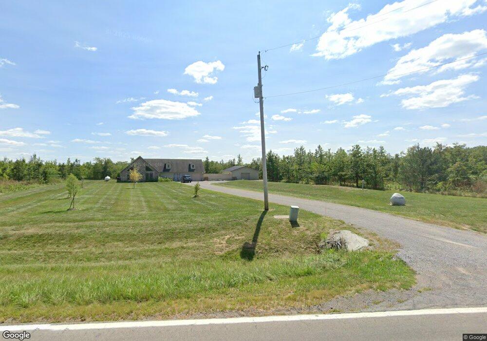
21847 State Route 189 Fort Jennings, OH 45844
Estimated Value: $374,000 - $403,000
--
Bed
--
Bath
2,016
Sq Ft
$193/Sq Ft
Est. Value
About This Home
This home is located at 21847 State Route 189, Fort Jennings, OH 45844 and is currently estimated at $388,298, approximately $192 per square foot. 21847 State Route 189 is a home with nearby schools including Fort Jennings Elementary School and Fort Jennings High School.
Ownership History
Date
Name
Owned For
Owner Type
Purchase Details
Closed on
Apr 14, 2023
Sold by
Neidert Jesse E
Bought by
Violet Jordan T and Violet Meghan E
Current Estimated Value
Purchase Details
Closed on
Mar 19, 2018
Sold by
Neidert Lindsay
Bought by
Neidert Jesse E
Purchase Details
Closed on
Nov 3, 2010
Sold by
Neidert Mark A and Neidert Sarah L
Bought by
Neidert Jesse E
Home Financials for this Owner
Home Financials are based on the most recent Mortgage that was taken out on this home.
Original Mortgage
$52,000
Interest Rate
4.37%
Mortgage Type
Construction
Create a Home Valuation Report for This Property
The Home Valuation Report is an in-depth analysis detailing your home's value as well as a comparison with similar homes in the area
Home Values in the Area
Average Home Value in this Area
Purchase History
| Date | Buyer | Sale Price | Title Company |
|---|---|---|---|
| Violet Jordan T | $350,000 | None Listed On Document | |
| Violet Jordan T | $350,000 | None Listed On Document | |
| Neidert Jesse E | -- | None Available | |
| Neidert Jesse E | $15,000 | Attorney |
Source: Public Records
Mortgage History
| Date | Status | Borrower | Loan Amount |
|---|---|---|---|
| Previous Owner | Neidert Jesse E | $52,000 |
Source: Public Records
Tax History Compared to Growth
Tax History
| Year | Tax Paid | Tax Assessment Tax Assessment Total Assessment is a certain percentage of the fair market value that is determined by local assessors to be the total taxable value of land and additions on the property. | Land | Improvement |
|---|---|---|---|---|
| 2024 | $3,223 | $110,350 | $11,660 | $98,690 |
| 2023 | $3,335 | $85,950 | $8,330 | $77,620 |
| 2022 | $2,863 | $85,950 | $8,330 | $77,620 |
| 2021 | $2,796 | $83,440 | $8,330 | $75,110 |
| 2020 | $2,804 | $64,620 | $10,890 | $53,730 |
| 2019 | $2,429 | $72,930 | $8,330 | $64,600 |
| 2018 | $2,401 | $72,930 | $8,330 | $64,600 |
| 2017 | $2,146 | $72,930 | $8,330 | $64,600 |
| 2016 | $2,146 | $64,620 | $10,890 | $53,730 |
| 2015 | $2,122 | $58,200 | $10,890 | $47,310 |
| 2014 | $1,260 | $34,050 | $10,890 | $23,160 |
| 2013 | $1,066 | $28,340 | $8,330 | $20,010 |
Source: Public Records
Map
Nearby Homes
- 22345 Road T
- 0 Heritage Cir Unit 6112034
- 0 Heritage Cir Unit 303239
- 7510 State Route 66
- 106 Sunset Dr
- 20501 U S 224
- 804 N Moening St
- 650 E 6th St
- 914 E 3rd St
- 810 N Franklin St
- 1035 N Main St
- 821 E 3rd St
- 628 N Pierce St
- 704 N Franklin St
- 7110 Elida Rd
- 633 E 2nd St
- 405 N Franklin St
- 6585 Huffer Rd
- 210 E 3rd St
- 702 Jackson St
- 19369 Road 20p
- 21746 State Route 189
- 21700 State Route 189
- 19338 Road 20p
- 19431 Road 22
- 21679 State Route 189
- 21896 State Route 189
- 19315 Road 22
- 19481 Road 22
- 21942 State Route 189
- 19430 Road 22
- 19523 Road 22
- 19248 Road 20p
- 19472 Road 22
- 21571 State Route 189
- 19290 Road 20p
- 19585 Road 22
- 21545 State Route 189
- 19651 Road 22
- 19174 Road 20p