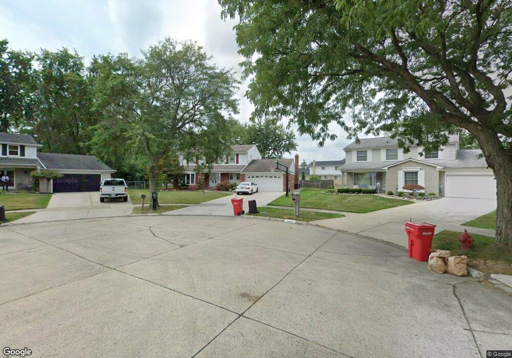
21849 Virginia St Southfield, MI 48076
Estimated Value: $314,411 - $421,000
--
Bed
3
Baths
2,383
Sq Ft
$154/Sq Ft
Est. Value
About This Home
This home is located at 21849 Virginia St, Southfield, MI 48076 and is currently estimated at $365,853, approximately $153 per square foot. 21849 Virginia St is a home located in Oakland County with nearby schools including Alice M. Birney K-8 School, Southfield Christian School, and Yeshivas Darchei Torah.
Ownership History
Date
Name
Owned For
Owner Type
Purchase Details
Closed on
Jul 12, 2011
Sold by
Meeks Robbin and Meeks Donald
Bought by
Alvers Llc
Current Estimated Value
Purchase Details
Closed on
Jul 6, 2000
Sold by
Voss Alexander C
Bought by
Meeks Robbin
Home Financials for this Owner
Home Financials are based on the most recent Mortgage that was taken out on this home.
Original Mortgage
$186,150
Interest Rate
8.55%
Mortgage Type
Purchase Money Mortgage
Create a Home Valuation Report for This Property
The Home Valuation Report is an in-depth analysis detailing your home's value as well as a comparison with similar homes in the area
Home Values in the Area
Average Home Value in this Area
Purchase History
| Date | Buyer | Sale Price | Title Company |
|---|---|---|---|
| Alvers Llc | $39,611 | None Available | |
| Meeks Robbin | $219,000 | -- |
Source: Public Records
Mortgage History
| Date | Status | Borrower | Loan Amount |
|---|---|---|---|
| Previous Owner | Meeks Robbin | $186,150 |
Source: Public Records
Tax History Compared to Growth
Tax History
| Year | Tax Paid | Tax Assessment Tax Assessment Total Assessment is a certain percentage of the fair market value that is determined by local assessors to be the total taxable value of land and additions on the property. | Land | Improvement |
|---|---|---|---|---|
| 2022 | $3,917 | $139,590 | $30,190 | $109,400 |
| 2021 | $4,046 | $131,210 | $28,110 | $103,100 |
| 2020 | $3,521 | $123,000 | $24,030 | $98,970 |
| 2018 | $4,981 | $102,580 | $24,030 | $78,550 |
| 2015 | -- | $74,860 | $0 | $0 |
| 2014 | -- | $61,420 | $0 | $0 |
| 2011 | -- | $61,700 | $0 | $0 |
Source: Public Records
Map
Nearby Homes
- 28330 Lahser Rd
- 28240 Lahser Rd
- 21440 Constitution St
- 21330 Winchester St
- 21901 Concord St
- 21140 Winchester St
- 29140 Briarbank Ct
- 28355 Tavistock Trail
- 22679 Bell Brook St
- 28740 Tavistock Trail
- 21361 Andover Rd
- 27249 Nantucket Dr
- 22465 Kenwyck Dr
- 20780 Wayland St
- 22665 Kenwyck Dr
- 000 Pontiac Trail
- 28401 River Crest Dr
- 27925 Arlington Dr
- 0000 Farmbrook Rd
- 29585 Woodhaven Ln
- 21819 Virginia St
- 21850 Virginia St
- 28440 Lahser Rd
- 21880 Potomac St
- 28470 Lahser Rd
- 28500 Lahser Rd
- 21850 Potomac St
- 21789 Virginia St
- 21820 Virginia St
- 21910 Potomac St
- 21820 Potomac St Unit Bldg-Unit
- 21820 Potomac St
- 28530 Lahser Rd
- 21790 Virginia St
- 21790 Potomac St
- 21759 Virginia St
- 21760 Virginia St
- 21729 Virginia St
- 21760 Potomac St
- 21859 Potomac St