2185 Liverpool Point Rd Nanjemoy, MD 20662
Nanjemoy NeighborhoodEstimated Value: $366,000 - $539,679
--
Bed
--
Bath
1,512
Sq Ft
$285/Sq Ft
Est. Value
About This Home
This home is located at 2185 Liverpool Point Rd, Nanjemoy, MD 20662 and is currently estimated at $430,420, approximately $284 per square foot. 2185 Liverpool Point Rd is a home located in Charles County with nearby schools including Mt. Hope/Nanjemoy Elementary School, General Smallwood Middle School, and Henry E. Lackey High School.
Ownership History
Date
Name
Owned For
Owner Type
Purchase Details
Closed on
Oct 2, 2020
Sold by
Bowie Larry Michael
Bought by
Bowie Larry Michael and Bowie Clifton Elwood
Current Estimated Value
Purchase Details
Closed on
Sep 1, 1983
Sold by
Osborne Virginia M
Bought by
Bowie Larry M and Bowie Anna M
Home Financials for this Owner
Home Financials are based on the most recent Mortgage that was taken out on this home.
Original Mortgage
$34,000
Interest Rate
13.78%
Create a Home Valuation Report for This Property
The Home Valuation Report is an in-depth analysis detailing your home's value as well as a comparison with similar homes in the area
Home Values in the Area
Average Home Value in this Area
Purchase History
| Date | Buyer | Sale Price | Title Company |
|---|---|---|---|
| Bowie Larry Michael | -- | None Available | |
| Bowie Larry M | $40,000 | -- |
Source: Public Records
Mortgage History
| Date | Status | Borrower | Loan Amount |
|---|---|---|---|
| Closed | Bowie Larry M | $34,000 |
Source: Public Records
Tax History Compared to Growth
Tax History
| Year | Tax Paid | Tax Assessment Tax Assessment Total Assessment is a certain percentage of the fair market value that is determined by local assessors to be the total taxable value of land and additions on the property. | Land | Improvement |
|---|---|---|---|---|
| 2025 | $5,740 | $404,300 | $160,300 | $244,000 |
| 2024 | $5,206 | $366,300 | $0 | $0 |
| 2023 | $4,691 | $328,300 | $0 | $0 |
| 2022 | $4,151 | $290,300 | $145,300 | $145,000 |
| 2021 | $4,520 | $321,500 | $153,100 | $168,400 |
| 2020 | $4,520 | $321,500 | $153,100 | $168,400 |
| 2019 | $4,966 | $356,400 | $171,300 | $185,100 |
| 2018 | $4,805 | $347,433 | $0 | $0 |
| 2017 | $4,679 | $338,467 | $0 | $0 |
| 2016 | -- | $329,500 | $0 | $0 |
| 2015 | $4,451 | $329,600 | $0 | $0 |
| 2014 | $4,451 | $329,600 | $0 | $0 |
Source: Public Records
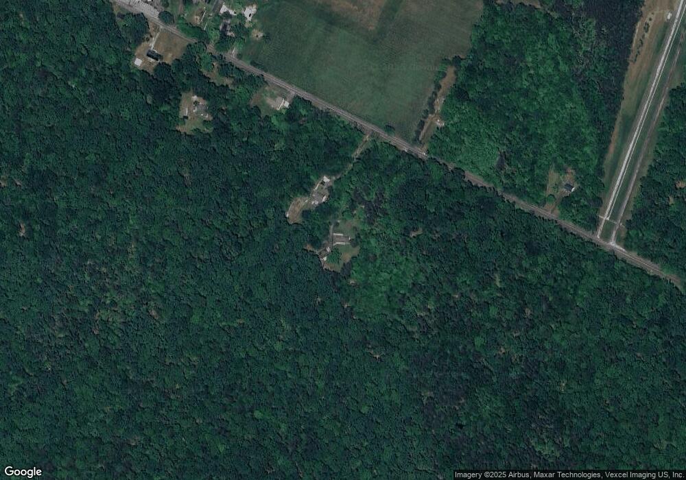
Map
Nearby Homes
- 8905 Jacksontown Rd
- 1645 Green Manor Dr
- 9290 Beaverdam Rd
- 4615 Port Tobacco Rd
- 4103 Port Tobacco Rd
- 8240 Greenleek Hill Rd
- 0 Poseytown Rd Unit MDCH2039212
- 4865 Port Tobacco Rd
- 3190 Poseytown Rd
- 3990 Port Tobacco Rd
- 8055 Shannon Woods Place
- 0 Sandy Point Rd Unit MDCH2033054
- 7985 W Bend Place
- 3370 Poseytown Rd
- 3190 Mill Place
- 2255 Smith Point Rd
- 2844 Deer Creek Ct
- 4105 Hojack Place
- 7805 Hamilton Heights Place
- 3315 Naomi Place
- 2105 Liverpool Point Rd
- 2045 Liverpool Point Rd
- 2160 Liverpool Point Rd
- 2005 Liverpool Point Rd
- 2180 Liverpool Point Rd
- 2200 Liverpool Point Rd
- 2010 Liverpool Point Rd
- 1985 Liverpool Point Rd
- 1965 Liverpool Point Rd
- 1970 Liverpool Point Rd
- 1980 Liverpool Point Rd
- 2270 Liverpool Point Rd
- 1950 Liverpool Point Rd
- 1940 Liverpool Point Rd
- 2240 Liverpool Point Rd
- 1960 Liverpool Point Rd
- 1930 Liverpool Point Rd
- 2220 Liverpool Point Rd
- 0 Liverpool Point Rd Unit CH7621155
- 0 Liverpool Point Rd Unit CH7853762