21850 Country Bend Cir Warrenton, MO 63383
Estimated Value: $185,155 - $319,000
--
Bed
--
Bath
729
Sq Ft
$359/Sq Ft
Est. Value
About This Home
This home is located at 21850 Country Bend Cir, Warrenton, MO 63383 and is currently estimated at $261,385, approximately $358 per square foot. 21850 Country Bend Cir is a home with nearby schools including Warrior Ridge Elementary School, Black Hawk Middle School, and Warrenton High School.
Ownership History
Date
Name
Owned For
Owner Type
Purchase Details
Closed on
Apr 20, 2023
Sold by
Jakul Dawn D
Bought by
Jakul Michael J
Current Estimated Value
Home Financials for this Owner
Home Financials are based on the most recent Mortgage that was taken out on this home.
Original Mortgage
$56,700
Outstanding Balance
$11,937
Interest Rate
6.73%
Mortgage Type
Credit Line Revolving
Estimated Equity
$249,448
Purchase Details
Closed on
Jan 29, 2012
Sold by
Jakul Michael Arron
Bought by
Jakul Dawn D
Purchase Details
Closed on
Oct 20, 2008
Sold by
Evans Denny J
Bought by
Jakul Dawn D
Create a Home Valuation Report for This Property
The Home Valuation Report is an in-depth analysis detailing your home's value as well as a comparison with similar homes in the area
Home Values in the Area
Average Home Value in this Area
Purchase History
| Date | Buyer | Sale Price | Title Company |
|---|---|---|---|
| Jakul Michael J | -- | None Listed On Document | |
| Jakul Dawn D | -- | None Available | |
| Jakul Dawn D | -- | None Available |
Source: Public Records
Mortgage History
| Date | Status | Borrower | Loan Amount |
|---|---|---|---|
| Open | Jakul Michael J | $56,700 |
Source: Public Records
Tax History Compared to Growth
Tax History
| Year | Tax Paid | Tax Assessment Tax Assessment Total Assessment is a certain percentage of the fair market value that is determined by local assessors to be the total taxable value of land and additions on the property. | Land | Improvement |
|---|---|---|---|---|
| 2024 | $686 | $11,763 | $4,004 | $7,759 |
| 2023 | $686 | $11,763 | $4,004 | $7,759 |
| 2022 | $641 | $10,960 | $3,776 | $7,184 |
| 2021 | $641 | $10,960 | $3,776 | $7,184 |
| 2020 | $644 | $10,960 | $3,776 | $7,184 |
| 2019 | $644 | $10,960 | $0 | $0 |
| 2017 | $637 | $10,960 | $0 | $0 |
| 2016 | $635 | $10,960 | $0 | $0 |
| 2015 | -- | $10,960 | $0 | $0 |
| 2011 | -- | $10,960 | $0 | $0 |
Source: Public Records
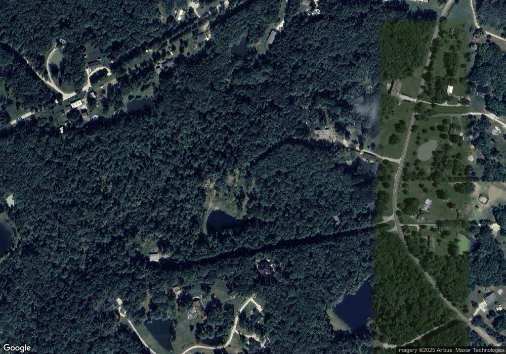
Map
Nearby Homes
- 25364 State Highway U
- 36.57 Acres Sunset Trail
- 29.24 Acres Sunset Trail
- 17 Acres Sunset Trail
- 22189 Lost Creek Rd
- 15.33 Acres Sunset Trail
- 21139 Schwerdt Hill Rd
- 10 Acres Sunset Trail
- 25461 Sky Dr
- 0 Pendleton Lost Creek Road 4+ Acres
- 20 + - Acres Fire Tower Rd
- LOT 22-23 Range Line Dr
- 26198 Woodridge Dr
- 23891 Wild Horse Farms Rd
- 7 acres Chaparral
- 26871 Pendleton Lost Creek Rd
- 26365 Falling Leaf Dr
- 28102 Sunnyside Rd
- 453 Chantilly Ct
- 19677 Dogwood Cir
- 22221 Clark Hollow Ln
- 22235 Clark Hollow Ln
- 3Lot Clark Hollow Ln
- 3ACRES Clark Hollow Ln
- 0 Clark Hollow Ln
- 22232 Clark Hollow Ln
- 25383 State Highway U
- 22226 Clark Hollow Ln
- 25341 State Highway U
- 22229 Clark Hollow Ln
- 3ACRES Clarks Hollow (Lot 3) Ln
- 3 Clarks Hollow Acres Ln
- 3 Clarks Hollow (Lot 3) Acres Ln
- 3 Lot 5 Clarks Hollow Acres
- 3Acres Lot 5 Clarks Hollow
- 6 Clark Hollow Lot
- 22230 Clark Hollow Ln
- 25457 State Highway U
- 25320 State Highway U
- 22234 Clark Hollow Ln