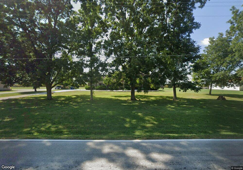
2186 Highway V Saint Charles, MO 63301
Kampville NeighborhoodEstimated Value: $551,000 - $774,000
3
Beds
4
Baths
3,933
Sq Ft
$169/Sq Ft
Est. Value
About This Home
This home is located at 2186 Highway V, Saint Charles, MO 63301 and is currently estimated at $665,728, approximately $169 per square foot. 2186 Highway V is a home located in St. Charles County with nearby schools including Orchard Farm Elementary School, Discovery Elementary School, and Orchard Farm Middle School.
Ownership History
Date
Name
Owned For
Owner Type
Purchase Details
Closed on
Aug 4, 2016
Sold by
Mitchell Bruce H and Mitchell Vicki
Bought by
Mitchell Courtney and Mitchell Dianne
Current Estimated Value
Purchase Details
Closed on
Oct 25, 2006
Sold by
Weber Thomas E
Bought by
Mitchell Bruce H and Mitchell Vicki
Home Financials for this Owner
Home Financials are based on the most recent Mortgage that was taken out on this home.
Original Mortgage
$97,600
Outstanding Balance
$58,378
Interest Rate
6.41%
Mortgage Type
Purchase Money Mortgage
Estimated Equity
$607,350
Create a Home Valuation Report for This Property
The Home Valuation Report is an in-depth analysis detailing your home's value as well as a comparison with similar homes in the area
Home Values in the Area
Average Home Value in this Area
Purchase History
| Date | Buyer | Sale Price | Title Company |
|---|---|---|---|
| Mitchell Courtney | -- | None Available | |
| Mitchell Bruce H | $122,000 | Ust |
Source: Public Records
Mortgage History
| Date | Status | Borrower | Loan Amount |
|---|---|---|---|
| Open | Mitchell Bruce H | $97,600 |
Source: Public Records
Tax History Compared to Growth
Tax History
| Year | Tax Paid | Tax Assessment Tax Assessment Total Assessment is a certain percentage of the fair market value that is determined by local assessors to be the total taxable value of land and additions on the property. | Land | Improvement |
|---|---|---|---|---|
| 2025 | $7,664 | $133,724 | -- | -- |
| 2024 | $7,651 | $121,583 | -- | -- |
| 2023 | $7,651 | $121,583 | $0 | $0 |
| 2022 | $6,837 | $105,390 | $0 | $0 |
| 2021 | $6,417 | $99,114 | $0 | $0 |
| 2020 | $224 | $3,418 | $0 | $0 |
| 2019 | $201 | $3,418 | $0 | $0 |
| 2018 | $205 | $3,371 | $0 | $0 |
| 2017 | $204 | $3,371 | $0 | $0 |
| 2016 | $1,057 | $17,074 | $0 | $0 |
| 2015 | $1,066 | $17,074 | $0 | $0 |
| 2014 | $1,047 | $16,384 | $0 | $0 |
Source: Public Records
Map
Nearby Homes
- 2 Twin Silos
- 1 Twin Silos
- 0 Stringtown Rd Unit MIS25027831
- 0 Lot 11 Twin Silos Unit MAR25016691
- 0 Lot 10 Twin Silos Unit MAR25016676
- 0 Lot 8 Twin Silos Unit MAR25016668
- 0 Lot 7 Twin Silos Unit MAR25016662
- 0 Lot 5 Twin Silos Unit MAR25016659
- 0 Lot 4 Twin Silos Unit MAR25016643
- 00 Highway B
- 544 Summer Glen Ln
- 164 Pampano Ln
- 706 Palisades Dr
- 701 Palisades Dr
- Carter Plan at Charlestowne Landing
- Westover Plan at Charlestowne Landing
- Aspen Plan at Charlestowne Landing
- Grayson 2 Plan at Charlestowne Landing
- Montego Plan at Charlestowne Landing
- Monterey 2 Plan at Charlestowne Landing
- 2174 Highway V
- 2202 Highway V
- 2148 Highway V
- 2213 Highway V
- 2219 Highway V
- 2232 Highway V
- 0 N Hwy 94 Unit 14031401
- 5461 N Highway 94
- 5415 N Highway 94
- 5409 N Highway 94
- 5403 N Highway 94
- 5397 N Highway 94
- 5391 N Highway 94
- 5385 N Highway 94
- 5355 N Highway 94
- 5351 N Highway 94
- 5337 N Highway 94
- 5767 N Highway 94
- 5354 N Highway 94
- 5302 N Highway 94