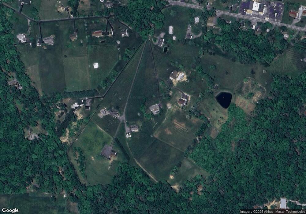
2187 Amoss Mill Rd Pylesville, MD 21132
Estimated Value: $684,000 - $839,190
--
Bed
3
Baths
2,672
Sq Ft
$277/Sq Ft
Est. Value
About This Home
This home is located at 2187 Amoss Mill Rd, Pylesville, MD 21132 and is currently estimated at $739,063, approximately $276 per square foot. 2187 Amoss Mill Rd is a home located in Harford County with nearby schools including Norrisville Elementary School, North Harford Middle School, and North Harford High School.
Ownership History
Date
Name
Owned For
Owner Type
Purchase Details
Closed on
Sep 19, 2018
Sold by
Sheehan Peter T and Sheehan Cynthia Lee
Bought by
Sheehan Peter T and Sheehan Cynthia Lee
Current Estimated Value
Home Financials for this Owner
Home Financials are based on the most recent Mortgage that was taken out on this home.
Original Mortgage
$275,000
Outstanding Balance
$171,291
Interest Rate
4.9%
Mortgage Type
New Conventional
Estimated Equity
$567,772
Purchase Details
Closed on
Dec 16, 2003
Sold by
Puente Frank J
Bought by
Sheehan Peter T and Sheehan Cynthia Lee
Create a Home Valuation Report for This Property
The Home Valuation Report is an in-depth analysis detailing your home's value as well as a comparison with similar homes in the area
Home Values in the Area
Average Home Value in this Area
Purchase History
| Date | Buyer | Sale Price | Title Company |
|---|---|---|---|
| Sheehan Peter T | -- | Solidifi Title & Closing | |
| Sheehan Peter T | $356,000 | -- |
Source: Public Records
Mortgage History
| Date | Status | Borrower | Loan Amount |
|---|---|---|---|
| Open | Sheehan Peter T | $275,000 |
Source: Public Records
Tax History Compared to Growth
Tax History
| Year | Tax Paid | Tax Assessment Tax Assessment Total Assessment is a certain percentage of the fair market value that is determined by local assessors to be the total taxable value of land and additions on the property. | Land | Improvement |
|---|---|---|---|---|
| 2025 | $5,156 | $502,300 | $0 | $0 |
| 2024 | $5,156 | $467,600 | $102,800 | $364,800 |
| 2023 | $4,978 | $451,233 | $0 | $0 |
| 2022 | $4,800 | $434,867 | $0 | $0 |
| 2021 | $2,245 | $418,500 | $102,800 | $315,700 |
| 2020 | $2,245 | $405,967 | $0 | $0 |
| 2019 | $4,600 | $393,433 | $0 | $0 |
| 2018 | $4,416 | $380,900 | $112,800 | $268,100 |
| 2017 | $4,368 | $380,900 | $0 | $0 |
| 2016 | -- | $372,500 | $0 | $0 |
| 2015 | $4,543 | $368,300 | $0 | $0 |
| 2014 | $4,543 | $368,300 | $0 | $0 |
Source: Public Records
Map
Nearby Homes
- 4816 Amos Rd
- 2131 Channel Rd
- 2623 Urey Rd
- 5121 Meadowview Dr
- 1701 Scott Rd
- 2735 Meadow Tree Dr
- 5403 New Park Rd
- 4522 Madonna Rd
- 20 Carea Rd
- 397 Marsteller Rd
- 2913 Duncan Rd
- 31 N Market St
- 4246 Madonna Rd
- 4319 Federal Hill Rd
- 5330 Long Corner Rd
- 257 Wiley Mill Rd
- 5217 Deer Trail
- 4302 Saint Clair Bridge Rd
- 4720 Norrisville Rd
- 4108 Federal Hill Rd
- 2189 Amoss Mill Rd
- 2185 Amoss Mill Rd
- 2191 Amoss Mill Rd
- 2183 Amoss Mill Rd
- 2195 Amoss Mill Rd
- 2203 Amoss Mill Rd
- 2151 Harkins Rd
- 2205 Amoss Mill Rd
- 2147 Harkins Rd
- W Heaps Rd
- W Heaps Rd
- 2207 Amoss Mill Rd
- 2202 Harkins Rd
- 2145 Harkins Rd
- 2204 Amoss Mill Rd
- 2148 Harkins Rd
- 2241 Amoss Mill Rd
- 2146 Harkins Rd
- 2139 Harkins Rd
- 2135 Harkins Rd
