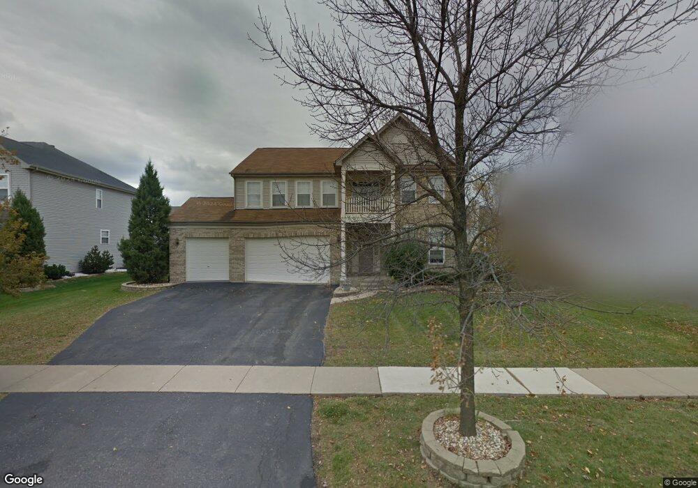
2187 Mark Cir Bolingbrook, IL 60490
West Bolingbrook NeighborhoodEstimated Value: $522,150 - $574,000
Studio
1
Bath
2,773
Sq Ft
$198/Sq Ft
Est. Value
About This Home
This home is located at 2187 Mark Cir, Bolingbrook, IL 60490 and is currently estimated at $548,788, approximately $197 per square foot. 2187 Mark Cir is a home located in Will County with nearby schools including Liberty Elementary School, John F Kennedy Middle School, and Plainfield East High School.
Ownership History
Date
Name
Owned For
Owner Type
Purchase Details
Closed on
May 9, 2022
Sold by
Polk La Tanya M and Polk Victor
Bought by
La Tanya M Polk Living Trust
Current Estimated Value
Purchase Details
Closed on
Jan 10, 2002
Sold by
Bolingbrook Ltd Partnership
Bought by
Banks Llewellyn and Banks Marcia L
Home Financials for this Owner
Home Financials are based on the most recent Mortgage that was taken out on this home.
Original Mortgage
$243,610
Interest Rate
5.62%
Create a Home Valuation Report for This Property
The Home Valuation Report is an in-depth analysis detailing your home's value as well as a comparison with similar homes in the area
Home Values in the Area
Average Home Value in this Area
Purchase History
| Date | Buyer | Sale Price | Title Company |
|---|---|---|---|
| La Tanya M Polk Living Trust | -- | -- | |
| Banks Llewellyn | $270,500 | Stewart Title Company |
Source: Public Records
Mortgage History
| Date | Status | Borrower | Loan Amount |
|---|---|---|---|
| Previous Owner | Banks Llewellyn | $243,610 |
Source: Public Records
Tax History
| Year | Tax Paid | Tax Assessment Tax Assessment Total Assessment is a certain percentage of the fair market value that is determined by local assessors to be the total taxable value of land and additions on the property. | Land | Improvement |
|---|---|---|---|---|
| 2024 | $10,358 | $154,467 | $41,067 | $113,400 |
| 2023 | $10,358 | $136,455 | $36,278 | $100,177 |
| 2022 | $8,732 | $118,458 | $34,318 | $84,140 |
| 2021 | $8,395 | $112,817 | $32,684 | $80,133 |
| 2020 | $8,496 | $111,029 | $32,166 | $78,863 |
| 2019 | $8,335 | $107,899 | $31,259 | $76,640 |
| 2018 | $8,013 | $102,208 | $30,571 | $71,637 |
| 2017 | $8,035 | $99,570 | $29,782 | $69,788 |
| 2016 | $8,171 | $97,427 | $29,141 | $68,286 |
| 2015 | $8,200 | $93,680 | $28,020 | $65,660 |
| 2014 | $8,200 | $93,680 | $28,020 | $65,660 |
| 2013 | $8,200 | $93,680 | $28,020 | $65,660 |
Source: Public Records
Map
Nearby Homes
- 1209 John Hancock Dr
- 1194 John Hancock Dr
- 1184 Patrick Henry Pkwy Unit 2001
- 2380 River Hills Ln
- 2405 River Hills Ln
- 2101 Samantha Joy Ln
- 12844 Scoter Ct
- 13150 Lake Mary Dr
- 22743 Marina Dr
- 23152 W Sweetwater Ln
- 12811 S Slate Ln
- 23148 W Sweetwater Ln
- 12825 S Slate Ln
- 23159 W Kennebec Dr
- 12817 S Slate Ln
- 12845 S Slate Ln
- 23165 W Kennebec Dr
- 12750 S Kerry Ln
- 23209 W Kennebec Dr
- 23166 W Sweetwater Ln
- 2183 Mark Cir Unit 1
- 2186 Muirfield Trail
- 2182 Muirfield Trail
- 2190 Muirfield Trail
- 2179 Mark Cir Unit 1
- 2184 Mark Cir Unit 1
- 2188 Mark Cir Unit 1
- 2178 Muirfield Trail Unit 1
- 2180 Mark Cir Unit 1
- 2176 Mark Cir Unit 1
- 2192 Mark Cir Unit 1
- 2175 Mark Cir
- 1201 Danhof Dr
- 1205 Danhof Dr
- 2174 Muirfield Trail Unit 1
- 2196 Mark Cir
- 1209 Danhof Dr Unit 1
- 2187 Muirfield Trail
- 2171 Mark Cir
- 2183 Muirfield Trail
Your Personal Tour Guide
Ask me questions while you tour the home.