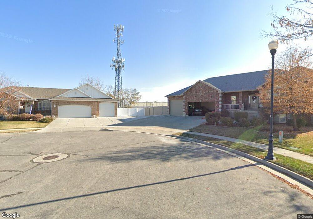
2187 W 1080 N Unit 36 Clearfield, UT 84015
Estimated Value: $560,000 - $654,000
3
Beds
3
Baths
1,976
Sq Ft
$306/Sq Ft
Est. Value
About This Home
This home is located at 2187 W 1080 N Unit 36, Clearfield, UT 84015 and is currently estimated at $604,129, approximately $305 per square foot. 2187 W 1080 N Unit 36 is a home located in Davis County with nearby schools including Lakeside School, West Point Junior High School, and Syracuse High School.
Ownership History
Date
Name
Owned For
Owner Type
Purchase Details
Closed on
Mar 13, 2003
Sold by
Noe David D and Homes Triple J
Bought by
Alawneh Mazen M and Alawneh Deborah I
Current Estimated Value
Home Financials for this Owner
Home Financials are based on the most recent Mortgage that was taken out on this home.
Original Mortgage
$167,200
Outstanding Balance
$70,980
Interest Rate
5.83%
Estimated Equity
$533,149
Create a Home Valuation Report for This Property
The Home Valuation Report is an in-depth analysis detailing your home's value as well as a comparison with similar homes in the area
Home Values in the Area
Average Home Value in this Area
Purchase History
| Date | Buyer | Sale Price | Title Company |
|---|---|---|---|
| Alawneh Mazen M | -- | Us Title |
Source: Public Records
Mortgage History
| Date | Status | Borrower | Loan Amount |
|---|---|---|---|
| Open | Alawneh Mazen M | $167,200 | |
| Closed | Alawneh Mazen M | $31,350 |
Source: Public Records
Tax History Compared to Growth
Tax History
| Year | Tax Paid | Tax Assessment Tax Assessment Total Assessment is a certain percentage of the fair market value that is determined by local assessors to be the total taxable value of land and additions on the property. | Land | Improvement |
|---|---|---|---|---|
| 2025 | $2,986 | $287,100 | $105,552 | $181,548 |
| 2024 | $2,993 | $289,300 | $114,346 | $174,954 |
| 2023 | $2,751 | $492,000 | $133,048 | $358,952 |
| 2022 | $2,858 | $282,700 | $77,817 | $204,883 |
| 2021 | $2,657 | $390,000 | $103,500 | $286,500 |
| 2020 | $2,306 | $335,000 | $91,328 | $243,672 |
| 2019 | $2,248 | $319,000 | $100,521 | $218,479 |
| 2018 | $2,109 | $294,000 | $84,123 | $209,877 |
| 2016 | $1,931 | $139,040 | $32,051 | $106,989 |
| 2015 | $1,913 | $130,926 | $32,051 | $98,875 |
| 2014 | $1,637 | $113,849 | $32,051 | $81,798 |
| 2013 | -- | $115,767 | $31,605 | $84,162 |
Source: Public Records
Map
Nearby Homes
- 2187 W 1080 N
- 2163 W 1080 N
- 1062 N 2220 W Unit 37
- 1062 N 2220 W
- 2191 W 1080 N
- 2204 W 1080 N
- 2178 W 1080 N
- 2216 W 1020 N
- 2149 W 1080 N
- 2156 W 1080 N
- 2142 W 1080 N
- 1059 N 2220 W
- 1124 N 2220 W
- 1124 N 2220 W Unit 29
- 1083 N 2220 W
- 1083 N 2220 W Unit 39
- 2183 W 1020 N
- 2232 W 1020 N
- 1008 N 2220 W
- 2153 W 1145 N