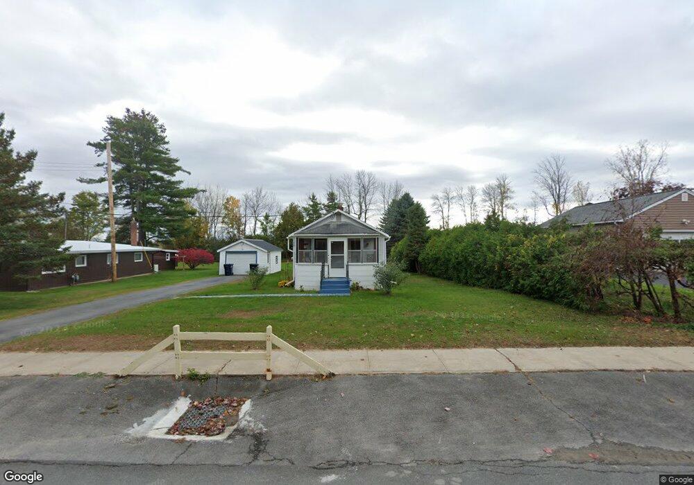
2188 State Route 22b Morrisonville, NY 12962
Estimated Value: $121,542 - $141,000
1
Bed
1
Bath
576
Sq Ft
$222/Sq Ft
Est. Value
About This Home
This home is located at 2188 State Route 22b, Morrisonville, NY 12962 and is currently estimated at $128,136, approximately $222 per square foot. 2188 State Route 22b is a home located in Clinton County with nearby schools including Cumberland Head Elementary School, Beekmantown Middle School, and Beekmantown High School.
Ownership History
Date
Name
Owned For
Owner Type
Purchase Details
Closed on
Jan 19, 2022
Sold by
Venne Deborah C and Dufrane Timothy J
Bought by
Dufrane Timothy J
Current Estimated Value
Purchase Details
Closed on
Nov 9, 2020
Sold by
Side Jonathan D and St-Louis Michael
Bought by
Dufrane Timothy J and Venne Deborah C
Home Financials for this Owner
Home Financials are based on the most recent Mortgage that was taken out on this home.
Original Mortgage
$65,600
Interest Rate
2.8%
Mortgage Type
Stand Alone Refi Refinance Of Original Loan
Create a Home Valuation Report for This Property
The Home Valuation Report is an in-depth analysis detailing your home's value as well as a comparison with similar homes in the area
Home Values in the Area
Average Home Value in this Area
Purchase History
| Date | Buyer | Sale Price | Title Company |
|---|---|---|---|
| Dufrane Timothy J | -- | None Available | |
| Dufrane Timothy J | $82,000 | None Available | |
| Dufrane Timothy J | $82,000 | None Available |
Source: Public Records
Mortgage History
| Date | Status | Borrower | Loan Amount |
|---|---|---|---|
| Previous Owner | Dufrane Timothy J | $65,600 |
Source: Public Records
Tax History Compared to Growth
Tax History
| Year | Tax Paid | Tax Assessment Tax Assessment Total Assessment is a certain percentage of the fair market value that is determined by local assessors to be the total taxable value of land and additions on the property. | Land | Improvement |
|---|---|---|---|---|
| 2024 | $2,069 | $98,900 | $20,200 | $78,700 |
| 2023 | $1,661 | $65,000 | $16,100 | $48,900 |
| 2022 | $1,676 | $65,000 | $16,100 | $48,900 |
| 2021 | $1,707 | $65,000 | $16,100 | $48,900 |
| 2020 | $1,686 | $50,000 | $14,800 | $35,200 |
| 2019 | $2,002 | $50,000 | $14,800 | $35,200 |
| 2018 | $2,002 | $50,000 | $14,800 | $35,200 |
| 2017 | $1,454 | $50,000 | $14,800 | $35,200 |
| 2016 | $1,428 | $50,000 | $14,800 | $35,200 |
| 2015 | -- | $44,000 | $14,300 | $29,700 |
| 2014 | -- | $44,000 | $14,300 | $29,700 |
Source: Public Records
Map
Nearby Homes
- 24 Barcomb Ave
- 108 Banker Rd
- 132 Banker Rd
- 453 Tom Miller Rd
- 53 Banker Rd
- 430 Tom Miller Rd
- 384 Tom Miller Rd
- 355 Tom Miller Rd
- 32 River St
- 1408 Military Turnpike
- 24 Homestead Dr
- 7 River St
- 1943 New York 22b
- 437 Rugar St
- 326 Rand Hill Rd
- 18 Spaulding Dr
- 0 Plaza Blvd
- 16 Kimberly Ln
- 19 Cross Rd
- 21 Bell Rd
- 2188 New York 22b
- 2190 State Route 22b
- 2186 State Route 22b
- 2186 New York 22b
- 2196 State Route 22b
- 2187 State Route 22b
- 2184 State Route 22b
- 33 Chantecler Ct
- 2198 State Route 22b
- 2198 New York 22b
- 2180 State Route 22b
- 2183 State Route 22b
- 27 Chantecler Ct
- 2181 State Route 22b
- 2178 State Route 22b
- 22 Chantecler Ct
- 835 State Route 3
- 831 State Route 3
- 2 Westland Ave
- 856 State Route 3