Estimated Value: $674,000 - $890,000
4
Beds
4
Baths
2,350
Sq Ft
$345/Sq Ft
Est. Value
About This Home
This home is located at 21880 SE Mustang Ln, Sandy, OR 97055 and is currently estimated at $811,861, approximately $345 per square foot. 21880 SE Mustang Ln is a home located in Clackamas County with nearby schools including Firwood Elementary School, Cedar Ridge Middle School, and Sandy High School.
Ownership History
Date
Name
Owned For
Owner Type
Purchase Details
Closed on
Jul 1, 2011
Sold by
First Horizon Home Loans
Bought by
Kurtz Donald E
Current Estimated Value
Purchase Details
Closed on
Dec 1, 2009
Sold by
Sugar Lawrence
Bought by
First Horizon Home Loans
Purchase Details
Closed on
May 31, 2006
Sold by
Shepherd Lee A and Shepherd Dianne L
Bought by
Sugar Lawrence
Home Financials for this Owner
Home Financials are based on the most recent Mortgage that was taken out on this home.
Original Mortgage
$488,352
Interest Rate
6.52%
Mortgage Type
Fannie Mae Freddie Mac
Purchase Details
Closed on
Jun 27, 2002
Sold by
Weber Ronald Francis and Weber Agnes Marie
Bought by
Shepherd Lee A and Shepherd Dianne L
Home Financials for this Owner
Home Financials are based on the most recent Mortgage that was taken out on this home.
Original Mortgage
$180,000
Interest Rate
5%
Create a Home Valuation Report for This Property
The Home Valuation Report is an in-depth analysis detailing your home's value as well as a comparison with similar homes in the area
Home Values in the Area
Average Home Value in this Area
Purchase History
| Date | Buyer | Sale Price | Title Company |
|---|---|---|---|
| Kurtz Donald E | $224,900 | Fidelity Natl Title Co Of Or | |
| First Horizon Home Loans | $361,250 | Accommodation | |
| Sugar Lawrence | $610,440 | Fidelity Natl Title Co Of Or | |
| Shepherd Lee A | $340,000 | First American Title Ins Co |
Source: Public Records
Mortgage History
| Date | Status | Borrower | Loan Amount |
|---|---|---|---|
| Previous Owner | Sugar Lawrence | $488,352 | |
| Previous Owner | Shepherd Lee A | $180,000 |
Source: Public Records
Tax History Compared to Growth
Tax History
| Year | Tax Paid | Tax Assessment Tax Assessment Total Assessment is a certain percentage of the fair market value that is determined by local assessors to be the total taxable value of land and additions on the property. | Land | Improvement |
|---|---|---|---|---|
| 2025 | $4,969 | $368,234 | -- | -- |
| 2024 | $4,603 | $346,152 | -- | -- |
| 2023 | $4,603 | $342,434 | $0 | $0 |
| 2022 | $4,399 | $329,936 | $0 | $0 |
| 2021 | $3,601 | $270,139 | $0 | $0 |
| 2020 | $3,290 | $245,344 | $0 | $0 |
| 2019 | $3,347 | $243,147 | $0 | $0 |
| 2018 | $3,118 | $226,005 | $0 | $0 |
| 2017 | $2,905 | $208,630 | $0 | $0 |
| 2016 | $2,724 | $196,770 | $0 | $0 |
| 2015 | $2,395 | $171,982 | $0 | $0 |
| 2014 | $2,260 | $161,403 | $0 | $0 |
Source: Public Records
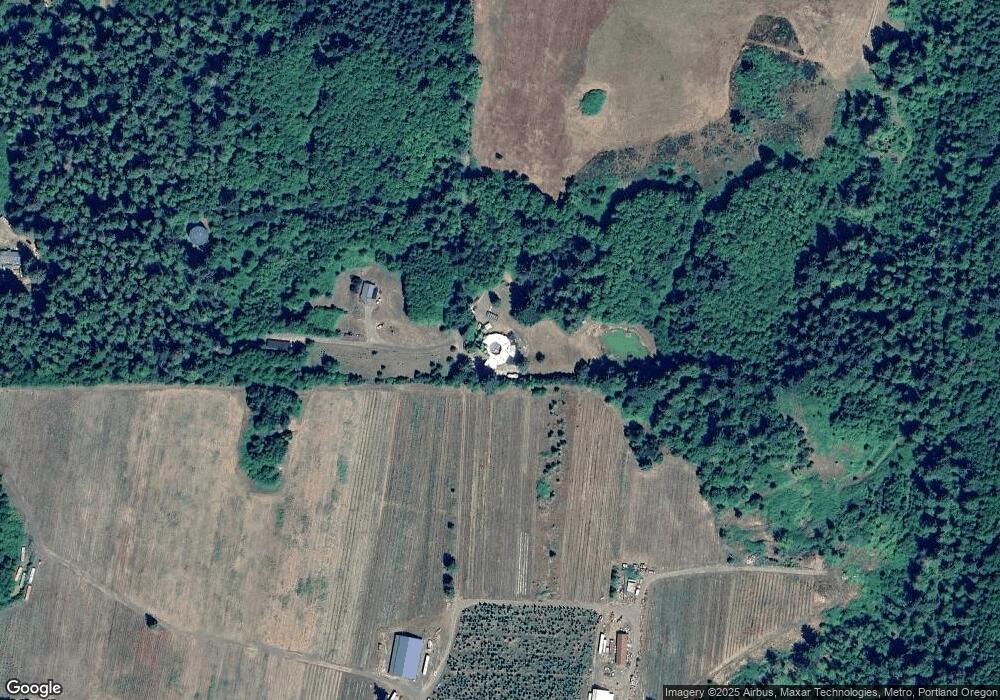
Map
Nearby Homes
- 43940 SE Music Camp Rd
- 44871 SE Highway 26
- 20671 SE Greenleaf Dr
- 21385 SE Firwood Rd
- 45990 SE Jadrny Rd
- 23861 SE 442nd Ave
- 45495 SE Coalman Rd
- 44434 SE Coalman Rd
- 22035 SE Firwood Rd
- 42125 SE Luzon Ln
- The Brightwood Plan at Hoodview Heights
- The Rock Creek Plan at Hoodview Heights
- 41800 Deschutes Ave Unit 86A
- The Hoodland Plan at Hoodview Heights
- 19025 Ochoco Ct Unit 67
- 18855 Crooked River St Unit 41
- 18905 Crooked River St Unit 46
- 41865 Deschutes Ave Unit 61
- 18935 Crooked River St Unit 49
- 41855 Deschutes Ave Unit 60
- 0 SE Mustang Ln Unit 303142
- 21543 SE Mustang Ln
- 44225 SE Music Camp Rd
- 21115 SE Mustang Ln
- 44314 SE Sandercock Ln
- 44300 SE Sandercock Ln
- 44794 SE Highway 26
- 44212 SE Sandercock Ln
- 22041 SE 442nd Ave
- 44021 SE Music Camp Rd
- 45232 SE Paha Loop Dr
- 45151 SE Dowling Rd
- 44570 SE Highway 26
- 22060 SE 442nd Ave
- 44995 SE Paha Loop Dr
- 43953 SE Music Camp Rd
- 44050 SE Sandercock Ln
- 44050 SE Sandercock Ln
- 44354 SE Highway 26
- 22201 SE 442nd Ave