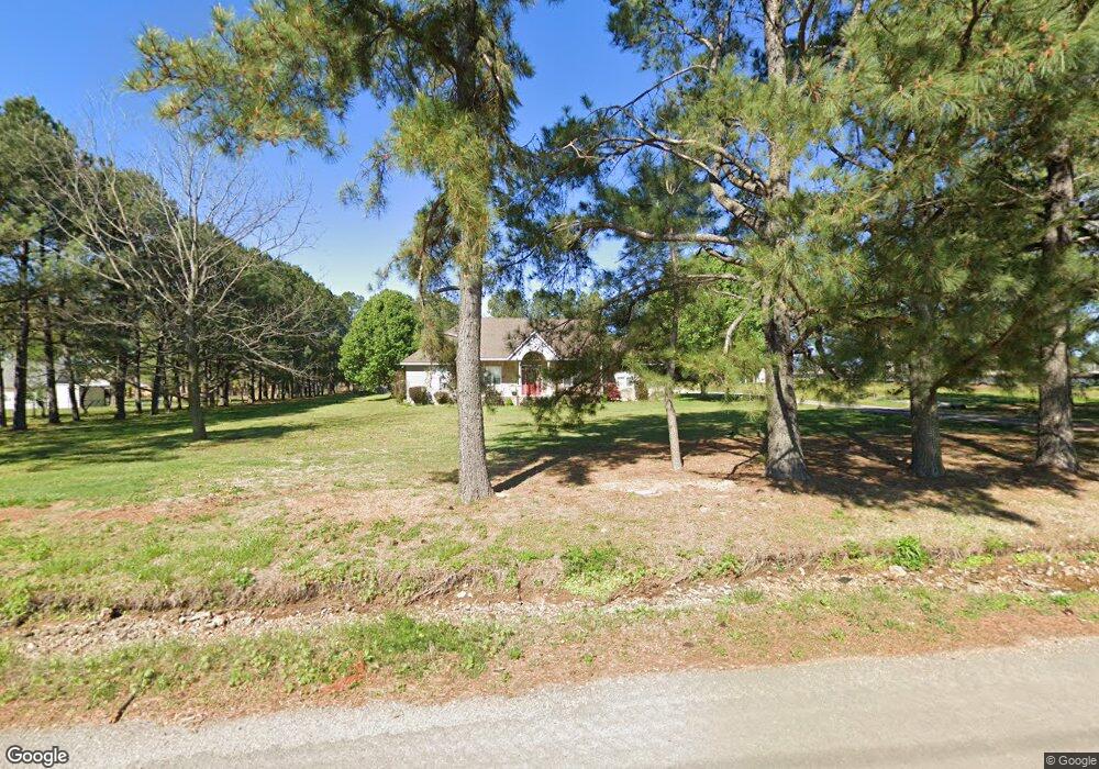
21887 S 530 Rd Tahlequah, OK 74464
Estimated Value: $328,914 - $612,000
3
Beds
2
Baths
2,490
Sq Ft
$184/Sq Ft
Est. Value
About This Home
This home is located at 21887 S 530 Rd, Tahlequah, OK 74464 and is currently estimated at $457,479, approximately $183 per square foot. 21887 S 530 Rd is a home located in Cherokee County with nearby schools including Heritage Elementary School, Tahlequah Middle School, and Tahlequah High School.
Ownership History
Date
Name
Owned For
Owner Type
Purchase Details
Closed on
Nov 25, 2020
Sold by
Green James C and Green Winona C
Bought by
Williams James L and Williams Sarah A
Current Estimated Value
Purchase Details
Closed on
Sep 28, 2007
Sold by
Miller Elzy L and Miller Deborah J
Bought by
Williams James L and Williams Sarah A
Home Financials for this Owner
Home Financials are based on the most recent Mortgage that was taken out on this home.
Original Mortgage
$100,000
Interest Rate
6.66%
Mortgage Type
New Conventional
Purchase Details
Closed on
Aug 9, 2004
Sold by
Elzy Miller and Deborah Downs
Bought by
Elzy and Deborah Miller
Purchase Details
Closed on
Sep 26, 2003
Sold by
James and Sally Hilger
Bought by
Elzy Miller and Deborah Downs
Create a Home Valuation Report for This Property
The Home Valuation Report is an in-depth analysis detailing your home's value as well as a comparison with similar homes in the area
Home Values in the Area
Average Home Value in this Area
Purchase History
| Date | Buyer | Sale Price | Title Company |
|---|---|---|---|
| Williams James L | $25,000 | None Available | |
| Williams James L | $188,000 | Scott Title And Escrow Compa | |
| Elzy | -- | -- | |
| Elzy Miller | $17,500 | -- |
Source: Public Records
Mortgage History
| Date | Status | Borrower | Loan Amount |
|---|---|---|---|
| Previous Owner | Williams James L | $100,000 |
Source: Public Records
Tax History Compared to Growth
Tax History
| Year | Tax Paid | Tax Assessment Tax Assessment Total Assessment is a certain percentage of the fair market value that is determined by local assessors to be the total taxable value of land and additions on the property. | Land | Improvement |
|---|---|---|---|---|
| 2025 | $1,919 | $21,890 | $1,100 | $20,790 |
| 2024 | $1,919 | $21,253 | $1,100 | $20,153 |
| 2023 | $1,919 | $20,634 | $1,100 | $19,534 |
| 2022 | $1,822 | $20,634 | $1,100 | $19,534 |
| 2021 | $1,828 | $20,634 | $1,100 | $19,534 |
| 2020 | $1,861 | $20,634 | $1,100 | $19,534 |
| 2019 | $1,885 | $21,057 | $1,100 | $19,957 |
| 2018 | $1,907 | $21,057 | $1,100 | $19,957 |
| 2017 | $1,903 | $21,057 | $1,100 | $19,957 |
| 2016 | $1,915 | $21,057 | $1,100 | $19,957 |
| 2015 | $2,004 | $21,290 | $1,100 | $20,190 |
| 2014 | $2,004 | $21,290 | $1,100 | $20,190 |
Source: Public Records
Map
Nearby Homes
- 4684 S 518 Rd
- 216 E Willis Rd
- 27778 State Highway 82
- 23126 State Highway 82
- 1010 Wilcox Cir
- 870 Cherry Springs Dr
- 3266 Cypress Ln
- 3244 Cypress Ln
- 3270 Cypress Ln
- 0 W 810 Rd Unit 2506686
- 203 Southridge
- 768 E Harlan Dr
- 0 S 510 Rd
- 2570 Ambers Way
- 2583 Ambers Way
- 1505 Aspen Dr
- 3050 S Muskogee Ave
- 19925 S 503 Rd
- 19971 S 503 Rd
- 19747 S 503 Rd
- 19978 E Murrel Rd
- 19750 E Murrel Rd
- 19978 E Murrell Rd
- 21808 S Ginger Dr
- 21804 S Ginger Dr
- 21812 S Ginger Dr
- 21794 S Ginger Dr
- 19620 E Murrel Rd
- 21790 S Ginger Dr
- 21814 S Ginger Dr
- 21786 S Ginger Dr
- 21797 S Ginger Dr
- 21820 S Ginger Dr
- 21775 S Ginger Dr
- 21791 S Ginger Dr
- 21824 S Ginger Dr
- 21782 S Ginger Dr
- 21823 S Ginger Dr
- 20377 E Murrel Rd
- 21870 S Keeler Dr