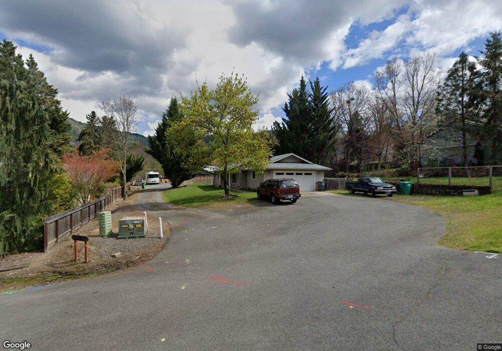
2189 Haviland Dr Grants Pass, OR 97527
Estimated Value: $389,270 - $405,000
3
Beds
2
Baths
1,288
Sq Ft
$308/Sq Ft
Est. Value
About This Home
This home is located at 2189 Haviland Dr, Grants Pass, OR 97527 and is currently estimated at $397,135, approximately $308 per square foot. 2189 Haviland Dr is a home located in Josephine County with nearby schools including Fruitdale Elementary School, Lincoln Savage Middle School, and Hidden Valley High School.
Ownership History
Date
Name
Owned For
Owner Type
Purchase Details
Closed on
Jul 20, 2018
Sold by
Macklin Pamela J and Bortles Donna R
Bought by
Irwin Melissa and Maynard Lacey
Current Estimated Value
Home Financials for this Owner
Home Financials are based on the most recent Mortgage that was taken out on this home.
Original Mortgage
$249,399
Outstanding Balance
$215,688
Interest Rate
4.5%
Mortgage Type
FHA
Estimated Equity
$181,447
Create a Home Valuation Report for This Property
The Home Valuation Report is an in-depth analysis detailing your home's value as well as a comparison with similar homes in the area
Home Values in the Area
Average Home Value in this Area
Purchase History
| Date | Buyer | Sale Price | Title Company |
|---|---|---|---|
| Irwin Melissa | $254,000 | First American Title |
Source: Public Records
Mortgage History
| Date | Status | Borrower | Loan Amount |
|---|---|---|---|
| Open | Irwin Melissa | $249,399 |
Source: Public Records
Tax History Compared to Growth
Tax History
| Year | Tax Paid | Tax Assessment Tax Assessment Total Assessment is a certain percentage of the fair market value that is determined by local assessors to be the total taxable value of land and additions on the property. | Land | Improvement |
|---|---|---|---|---|
| 2025 | $2,581 | $211,400 | -- | -- |
| 2024 | $2,581 | $205,250 | -- | -- |
| 2023 | $2,431 | $199,280 | $0 | $0 |
| 2022 | $2,444 | $193,480 | -- | -- |
| 2021 | $2,295 | $187,850 | $0 | $0 |
| 2020 | $2,312 | $182,380 | $0 | $0 |
| 2019 | $2,230 | $177,070 | $0 | $0 |
| 2018 | $2,286 | $171,920 | $0 | $0 |
| 2017 | $2,279 | $166,920 | $0 | $0 |
| 2016 | $2,001 | $162,060 | $0 | $0 |
| 2015 | $1,936 | $157,340 | $0 | $0 |
| 2014 | $1,884 | $152,760 | $0 | $0 |
Source: Public Records
Map
Nearby Homes
- 2229 SE Linden Ln
- 2231 SE Linden Ln
- 2234 SE Linden Ln
- 495 Harper Loop
- 2060 SE Wyndham Way
- 2070 SE Wyndham Way
- 2050 SE Wyndham Way
- 155 SE Champagne Ct Unit Lot7
- 1582 SE Rosemary Ln
- 0 SE Rosemary Ln Unit 441 220208362
- 2181 SE Wyndham Way
- 1223 SE Grandview Ave
- 1841 Cloverlawn Dr
- 101 Sky Crest Dr
- 1553 Panoramic Loop
- 1781 SE Brookhurst Way
- 1407 Fruitdale Dr Unit 10
- 1407 Fruitdale Dr Unit 12
- 1407 Fruitdale Dr Unit 2
- 1407 Fruitdale Dr Unit 4
- 2203 Haviland Dr
- 2187 Haviland Dr
- 2171 Haviland Dr
- 2211 Haviland Dr
- 2207 Haviland Dr
- 2157 Haviland Dr
- 2215 Haviland Dr
- 2198 SE Linden Ln
- 2188 Mayfield Dr
- 2170 Mayfield Dr
- 2194 Mayfield Dr
- 2221 Haviland Dr
- 2148 Mayfield Dr
- 2203 SE Linden Ln
- 2227 Haviland Dr
- 2150 Haviland Dr
- 2139 Haviland Dr
- 0 Haviland Dr Unit 123 105257233
- 0 Haviland Dr Unit 122 105257222
- 2126 Haviland Dr