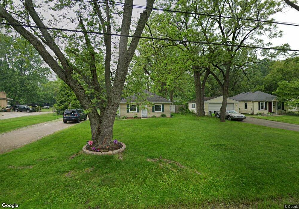
2189 Snellbrook Rd Auburn Hills, MI 48326
Estimated Value: $203,000 - $229,000
2
Beds
1
Bath
941
Sq Ft
$225/Sq Ft
Est. Value
About This Home
This home is located at 2189 Snellbrook Rd, Auburn Hills, MI 48326 and is currently estimated at $211,645, approximately $224 per square foot. 2189 Snellbrook Rd is a home located in Oakland County with nearby schools including Rogers Elementary, Pontiac Middle School, and Pontiac High School.
Ownership History
Date
Name
Owned For
Owner Type
Purchase Details
Closed on
Dec 22, 2016
Sold by
Wuest Susan A and The Susan A Wuest Revocable Tr
Bought by
Steele Todd
Current Estimated Value
Home Financials for this Owner
Home Financials are based on the most recent Mortgage that was taken out on this home.
Original Mortgage
$77,625
Outstanding Balance
$38,161
Interest Rate
4.08%
Mortgage Type
New Conventional
Estimated Equity
$173,484
Purchase Details
Closed on
Aug 10, 2015
Sold by
Wuest Susan A
Bought by
Wuest Susan A
Purchase Details
Closed on
Sep 1, 2001
Sold by
Wuest John N
Bought by
Wuest Susan A
Purchase Details
Closed on
Nov 3, 1988
Sold by
Wuest S A
Bought by
Wuest J Nichols
Create a Home Valuation Report for This Property
The Home Valuation Report is an in-depth analysis detailing your home's value as well as a comparison with similar homes in the area
Home Values in the Area
Average Home Value in this Area
Purchase History
| Date | Buyer | Sale Price | Title Company |
|---|---|---|---|
| Steele Todd | $103,500 | Fidelity National Title | |
| Wuest Susan A | -- | Attorney | |
| Wuest Susan A | -- | -- | |
| Wuest J Nichols | -- | -- |
Source: Public Records
Mortgage History
| Date | Status | Borrower | Loan Amount |
|---|---|---|---|
| Open | Steele Todd | $77,625 |
Source: Public Records
Tax History Compared to Growth
Tax History
| Year | Tax Paid | Tax Assessment Tax Assessment Total Assessment is a certain percentage of the fair market value that is determined by local assessors to be the total taxable value of land and additions on the property. | Land | Improvement |
|---|---|---|---|---|
| 2024 | $1,947 | $71,360 | $0 | $0 |
| 2023 | $1,856 | $68,040 | $0 | $0 |
| 2022 | $2,509 | $54,760 | $0 | $0 |
| 2021 | $2,454 | $54,400 | $0 | $0 |
| 2020 | $1,717 | $50,410 | $0 | $0 |
| 2019 | $2,518 | $47,970 | $0 | $0 |
| 2018 | $2,408 | $45,220 | $0 | $0 |
| 2017 | $2,201 | $44,300 | $0 | $0 |
| 2016 | $1,743 | $43,600 | $0 | $0 |
| 2015 | -- | $40,630 | $0 | $0 |
| 2014 | -- | $38,970 | $0 | $0 |
| 2011 | -- | $42,540 | $0 | $0 |
Source: Public Records
Map
Nearby Homes
- 2375 Snellbrook Rd
- 2300 Richwood Rd
- 2400 Walnut Rd
- 2325 Walnut Rd
- 2274 Allerton Rd
- 2526 Patrick Henry Rd
- 2085 Allerton Rd
- 2464 Allerton Rd
- 3164 Bookham Cir
- 3160 Bookham Cir
- 2638 Patrick Henry Rd
- 2530 Patrick Henry St
- 3101 Elstead St
- 2641 Konrad Ct Unit 6
- 2551 James Rd
- 3111 Ramzi Ln
- 3024 Carly Ct Unit 57
- 4444 Walton Blvd
- 151 Cedar Isle Dr
- 2700 Shimmons Rd
- 2201 Snellbrook Rd
- 2155 Snellbrook Rd
- 2213 Snellbrook Rd
- Lot 88 Snellbrook Rd
- 2160 Snellbrook Rd
- 23751 Snellbrook Rd
- 2154 Snellbrook Rd
- 2239 Snellbrook Rd
- 2212 Snellbrook Rd
- 2148 Snellbrook Rd
- 2180 Snellbrook Rd
- 2125 Snellbrook Rd
- 2180 Dexter Rd
- 2136 Snellbrook Rd
- 2265 Snellbrook Rd
- 2164 Dexter Rd
- 2200 Dexter Rd
- 2190 Dexter Rd
- 2244 Snellbrook Rd
- 2148 Dexter Rd