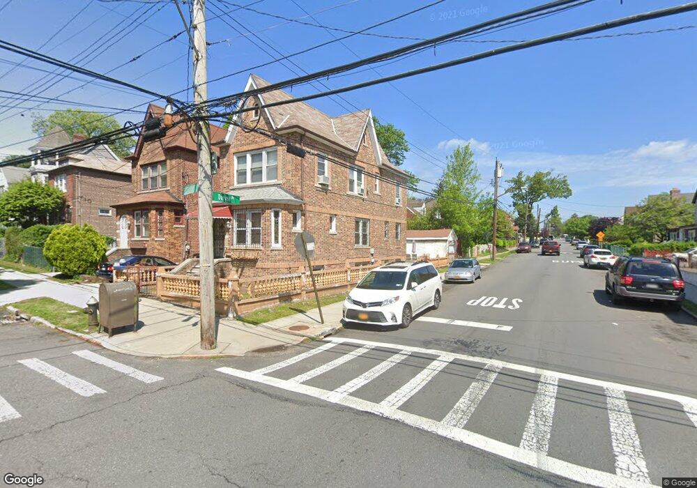
2189 Strang Ave Bronx, NY 10466
Edenwald NeighborhoodEstimated Value: $610,593 - $734,000
--
Bed
--
Bath
2,220
Sq Ft
$309/Sq Ft
Est. Value
About This Home
This home is located at 2189 Strang Ave, Bronx, NY 10466 and is currently estimated at $686,648, approximately $309 per square foot. 2189 Strang Ave is a home located in Bronx County with nearby schools including P.S. 68 - Bronx, One World Middle School At Edenwald, and Baychester Middle School.
Ownership History
Date
Name
Owned For
Owner Type
Purchase Details
Closed on
Nov 29, 2001
Sold by
Better Homes Depot Of Th
Bought by
Delgado Tamara
Current Estimated Value
Purchase Details
Closed on
Nov 21, 2000
Sold by
Joseph Miriam and Bankers Trust Company Of Calif
Bought by
Wells Fargo Bank Minnesota Na and Delta Funding Home Equity Loan Tr 1997-1
Purchase Details
Closed on
Nov 21, 1994
Sold by
Piper Victor G and Piper Mary Lynn
Bought by
Joseph Miriam
Home Financials for this Owner
Home Financials are based on the most recent Mortgage that was taken out on this home.
Original Mortgage
$116,510
Interest Rate
9%
Mortgage Type
Seller Take Back
Create a Home Valuation Report for This Property
The Home Valuation Report is an in-depth analysis detailing your home's value as well as a comparison with similar homes in the area
Home Values in the Area
Average Home Value in this Area
Purchase History
| Date | Buyer | Sale Price | Title Company |
|---|---|---|---|
| Delgado Tamara | -- | -- | |
| Wells Fargo Bank Minnesota Na | $228,000 | -- | |
| Joseph Miriam | $132,000 | Lawyers Title Insurance Corp |
Source: Public Records
Mortgage History
| Date | Status | Borrower | Loan Amount |
|---|---|---|---|
| Previous Owner | Joseph Miriam | $116,510 |
Source: Public Records
Tax History Compared to Growth
Tax History
| Year | Tax Paid | Tax Assessment Tax Assessment Total Assessment is a certain percentage of the fair market value that is determined by local assessors to be the total taxable value of land and additions on the property. | Land | Improvement |
|---|---|---|---|---|
| 2025 | $6,299 | $32,054 | $5,936 | $26,118 |
| 2024 | $6,299 | $31,363 | $5,808 | $25,555 |
| 2023 | $6,095 | $30,012 | $6,334 | $23,678 |
| 2022 | $5,652 | $38,280 | $7,800 | $30,480 |
| 2021 | $5,622 | $39,180 | $7,800 | $31,380 |
| 2020 | $5,654 | $34,740 | $7,800 | $26,940 |
| 2019 | $5,467 | $29,760 | $7,800 | $21,960 |
| 2018 | $5,098 | $25,010 | $6,662 | $18,348 |
| 2017 | $4,810 | $23,595 | $7,373 | $16,222 |
| 2016 | $4,450 | $22,260 | $7,800 | $14,460 |
| 2015 | $2,740 | $23,086 | $7,625 | $15,461 |
| 2014 | $2,740 | $21,780 | $8,640 | $13,140 |
Source: Public Records
Map
Nearby Homes
- 2181 Strang Ave
- 3968 Duryea Ave
- 3963 Duryea Ave
- 3964 Duryea Ave
- 3943 Seton Ave
- 4040 Pratt Ave
- 4044 Pratt Ave
- 3924 Duryea Ave
- 3919 Pratt Ave
- 32 Duryea Ave
- 1405 E 233rd St
- 4073 Monticello Ave
- 3943 Hill Ave
- 3946 Secor Ave
- 2123 Garrett Place
- 4016 Wilder Ave
- 3919 Murdock Ave
- 4118 Hill Ave
- 629 S 7th Ave
- 2110 Light St
- 2187 Strang Ave
- 2201 Strang Ave
- 4015 Duryea Ave
- 2205 Strang Ave
- 2179 Strang Ave
- 2207 Strang Ave
- 4010 Duryea Ave
- 2177 Strang Ave
- 4010 Amundson Ave
- 4021 Duryea Ave
- 2209 Strang Ave
- 2188 Strang Ave
- 2186 Strang Ave
- 2186 Strang Ave Unit B
- 4014 Duryea Ave
- 2184 Strang Ave
- 2175 Strang Ave
- 2182 Strang Ave
- 4014 Amundson Ave Unit 3
- 4014 Amundson Ave Unit 2