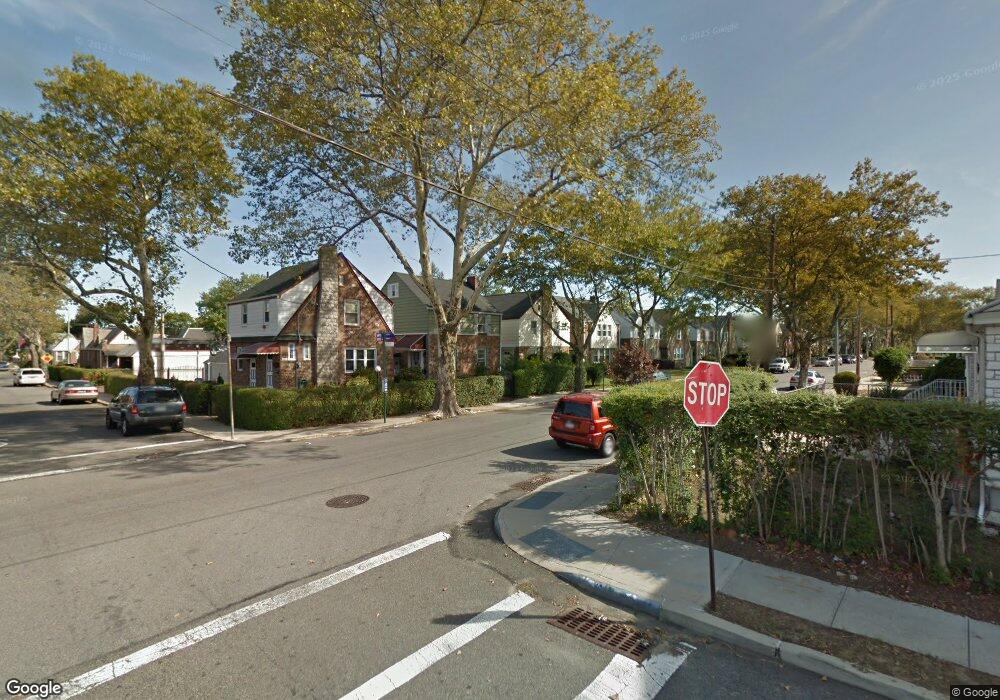
219-07 113th Dr Queens Village, NY 11429
Queens Village NeighborhoodEstimated Value: $656,000 - $705,000
3
Beds
2
Baths
1,056
Sq Ft
$636/Sq Ft
Est. Value
About This Home
This home is located at 219-07 113th Dr, Queens Village, NY 11429 and is currently estimated at $671,561, approximately $635 per square foot. 219-07 113th Dr is a home located in Queens County with nearby schools including P.S./M.S. 147 Ronald Mcnair, I.S. 192 The Linden, and Ss Joachim & Anne School.
Ownership History
Date
Name
Owned For
Owner Type
Purchase Details
Closed on
Jun 18, 2014
Sold by
Bottex Gilles and Bottex Marie
Bought by
Bacchus Waheeda
Current Estimated Value
Home Financials for this Owner
Home Financials are based on the most recent Mortgage that was taken out on this home.
Original Mortgage
$338,751
Outstanding Balance
$256,809
Interest Rate
4.19%
Mortgage Type
New Conventional
Estimated Equity
$414,752
Purchase Details
Closed on
Sep 12, 2005
Sold by
Patterson Beverly and Patterson Samuel
Bought by
Bottex Gilles and Bottex Marie
Home Financials for this Owner
Home Financials are based on the most recent Mortgage that was taken out on this home.
Original Mortgage
$87,000
Interest Rate
5.92%
Create a Home Valuation Report for This Property
The Home Valuation Report is an in-depth analysis detailing your home's value as well as a comparison with similar homes in the area
Home Values in the Area
Average Home Value in this Area
Purchase History
| Date | Buyer | Sale Price | Title Company |
|---|---|---|---|
| Bacchus Waheeda | $345,000 | -- | |
| Bacchus Waheeda | $345,000 | -- | |
| Bottex Gilles | $435,000 | -- | |
| Bottex Gilles | $435,000 | -- |
Source: Public Records
Mortgage History
| Date | Status | Borrower | Loan Amount |
|---|---|---|---|
| Open | Bacchus Waheeda | $338,751 | |
| Closed | Bacchus Waheeda | $338,751 | |
| Previous Owner | Bottex Gilles | $87,000 | |
| Previous Owner | Bottex Gilles | $348,000 |
Source: Public Records
Tax History Compared to Growth
Tax History
| Year | Tax Paid | Tax Assessment Tax Assessment Total Assessment is a certain percentage of the fair market value that is determined by local assessors to be the total taxable value of land and additions on the property. | Land | Improvement |
|---|---|---|---|---|
| 2025 | $4,756 | $26,582 | $6,373 | $20,209 |
| 2024 | $4,768 | $25,078 | $6,270 | $18,808 |
| 2023 | $4,471 | $23,659 | $6,218 | $17,441 |
| 2022 | $4,169 | $33,300 | $9,840 | $23,460 |
| 2021 | $4,401 | $31,320 | $9,840 | $21,480 |
| 2020 | $4,393 | $31,260 | $9,840 | $21,420 |
| 2019 | $4,079 | $30,480 | $9,840 | $20,640 |
| 2018 | $3,721 | $19,716 | $7,608 | $12,108 |
| 2017 | $3,492 | $18,600 | $9,840 | $8,760 |
| 2016 | $3,519 | $18,600 | $9,840 | $8,760 |
| 2015 | $2,090 | $18,762 | $10,875 | $7,887 |
| 2014 | $2,090 | $17,700 | $10,920 | $6,780 |
Source: Public Records
Map
Nearby Homes
- 21531 Murdock Ave
- 112-29 219th St
- 21739 114th Rd
- 217-39 114th Rd
- 22117 Murdock Ave
- 214-38 113th Ave
- 21438 112th Rd
- 114-36 220th St
- 113-66 Springfield Blvd
- 219-47 112th Ave
- 215-28 112th Ave
- 214-10 113th Ave
- 115-20 217th St
- 215-11 112th Ave
- 22324 Murdock Ave
- 21610 115th Ct
- 21231 113th Ave
- 114-54 212th St
- 22343 113th Dr
- 216-23 111th Ave
- 21901 113th Dr
- 21905 113th Dr
- 21907 113th Dr
- 21661 113th Dr
- 21659 113th Dr
- 21911 113th Dr
- 216-57 113th Dr
- 21657 113th Dr
- 21902 113th Dr
- 219-04 Murdock Ave
- 21915 113th Dr
- 21906 113th Dr
- 21902 Murdock Ave
- 21915 113th Dr
- 21904 Murdock Ave
- 21655 113th Dr
- 21906 Murdock Ave
- 21908 113th Dr
- 21556 Murdock Ave
- 21664 113th Dr