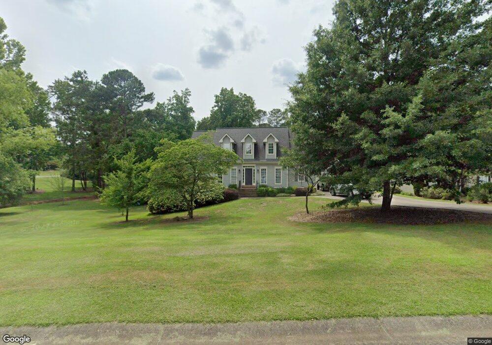
219 Allison Dr Unit 1 Woodstock, GA 30188
Union Hill NeighborhoodEstimated Value: $470,000 - $497,877
3
Beds
2
Baths
2,278
Sq Ft
$212/Sq Ft
Est. Value
About This Home
This home is located at 219 Allison Dr Unit 1, Woodstock, GA 30188 and is currently estimated at $483,939, approximately $212 per square foot. 219 Allison Dr Unit 1 is a home located in Cherokee County with nearby schools including Johnston Elementary School, Mill Creek Middle School, and River Ridge High School.
Ownership History
Date
Name
Owned For
Owner Type
Purchase Details
Closed on
Mar 20, 2024
Sold by
Rader James
Bought by
Rader James Howard Iii Trust and Lana Ann Rader Living Trust
Current Estimated Value
Purchase Details
Closed on
May 2, 2002
Sold by
Borden James W and Borden Marianne M
Bought by
Perkowski Philip J and Perkowski Erin M
Home Financials for this Owner
Home Financials are based on the most recent Mortgage that was taken out on this home.
Original Mortgage
$159,920
Interest Rate
7.18%
Create a Home Valuation Report for This Property
The Home Valuation Report is an in-depth analysis detailing your home's value as well as a comparison with similar homes in the area
Home Values in the Area
Average Home Value in this Area
Purchase History
| Date | Buyer | Sale Price | Title Company |
|---|---|---|---|
| Rader James Howard Iii Trust | -- | -- | |
| Perkowski Philip J | $199,900 | -- |
Source: Public Records
Mortgage History
| Date | Status | Borrower | Loan Amount |
|---|---|---|---|
| Previous Owner | Perkowski Philip J | $159,920 |
Source: Public Records
Tax History Compared to Growth
Tax History
| Year | Tax Paid | Tax Assessment Tax Assessment Total Assessment is a certain percentage of the fair market value that is determined by local assessors to be the total taxable value of land and additions on the property. | Land | Improvement |
|---|---|---|---|---|
| 2025 | $4,269 | $184,944 | $40,800 | $144,144 |
| 2024 | $4,144 | $176,436 | $40,800 | $135,636 |
| 2023 | $3,792 | $180,308 | $40,800 | $139,508 |
| 2022 | $3,450 | $144,360 | $32,000 | $112,360 |
| 2021 | $3,338 | $127,120 | $30,000 | $97,120 |
| 2020 | $3,060 | $115,040 | $21,200 | $93,840 |
| 2019 | $2,868 | $106,640 | $20,000 | $86,640 |
| 2018 | $2,706 | $99,080 | $17,600 | $81,480 |
| 2017 | $2,615 | $235,700 | $17,600 | $76,680 |
| 2016 | $2,580 | $229,300 | $17,600 | $74,120 |
| 2015 | $2,532 | $221,500 | $17,600 | $71,000 |
| 2014 | $2,401 | $209,500 | $17,600 | $66,200 |
Source: Public Records
Map
Nearby Homes
- 221 Allison Dr
- 223 Allison Dr
- 226 Allison Dr Unit 1
- 228 Allison Dr
- 215 Allison Dr Unit 1
- 220 Allison Dr
- 222 Allison Dr Unit 1
- 224 Allison Dr
- 232 Allison Dr
- 128 Copper Ridge Dr
- 218 Allison Dr
- 130 Copper Ridge Dr Unit 2
- 230 Allison Dr
- 216 Allison Dr Unit 1
- 209 Allison Dr
- 126 Copper Ridge Dr Unit 2
- 132 Copper Ridge Dr Unit 2
- 213 Allison Dr
- 214 Allison Dr Unit 1
- 121 Village Ct