Estimated Value: $316,000 - $454,872
--
Bed
--
Bath
1,792
Sq Ft
$216/Sq Ft
Est. Value
About This Home
This home is located at 219 Amy St, Many, LA 71449 and is currently estimated at $387,468, approximately $216 per square foot. 219 Amy St is a home located in Sabine Parish with nearby schools including Negreet High School.
Ownership History
Date
Name
Owned For
Owner Type
Purchase Details
Closed on
Oct 22, 2012
Sold by
Boerner Brad Anthony
Bought by
Sedlock Milissa Ann Mcinnis and Sedlock Douglas Joseph
Current Estimated Value
Home Financials for this Owner
Home Financials are based on the most recent Mortgage that was taken out on this home.
Original Mortgage
$178,000
Outstanding Balance
$122,619
Interest Rate
3.4%
Mortgage Type
New Conventional
Estimated Equity
$264,849
Purchase Details
Closed on
Sep 27, 2006
Sold by
Edwards Carson L and Edwards Jane S
Bought by
Boerner Brad Anthony
Home Financials for this Owner
Home Financials are based on the most recent Mortgage that was taken out on this home.
Original Mortgage
$205,000
Interest Rate
6.46%
Mortgage Type
New Conventional
Create a Home Valuation Report for This Property
The Home Valuation Report is an in-depth analysis detailing your home's value as well as a comparison with similar homes in the area
Home Values in the Area
Average Home Value in this Area
Purchase History
| Date | Buyer | Sale Price | Title Company |
|---|---|---|---|
| Sedlock Milissa Ann Mcinnis | $203,000 | None Available | |
| Boerner Brad Anthony | $229,000 | None Available |
Source: Public Records
Mortgage History
| Date | Status | Borrower | Loan Amount |
|---|---|---|---|
| Open | Sedlock Milissa Ann Mcinnis | $178,000 | |
| Previous Owner | Boerner Brad Anthony | $205,000 |
Source: Public Records
Tax History Compared to Growth
Tax History
| Year | Tax Paid | Tax Assessment Tax Assessment Total Assessment is a certain percentage of the fair market value that is determined by local assessors to be the total taxable value of land and additions on the property. | Land | Improvement |
|---|---|---|---|---|
| 2024 | $2,233 | $31,043 | $6,098 | $24,945 |
| 2023 | $1,832 | $24,243 | $7,223 | $17,020 |
| 2022 | $1,832 | $24,243 | $7,223 | $17,020 |
| 2021 | $1,985 | $24,243 | $7,223 | $17,020 |
| 2020 | $1,986 | $24,243 | $7,223 | $17,020 |
| 2019 | $1,983 | $24,243 | $7,223 | $17,020 |
| 2018 | $1,870 | $22,590 | $4,750 | $17,840 |
| 2017 | $2,136 | $22,590 | $4,750 | $17,840 |
| 2016 | $2,171 | $22,590 | $4,750 | $17,840 |
| 2015 | $2,265 | $22,590 | $4,750 | $17,840 |
| 2014 | $2,252 | $22,590 | $4,750 | $17,840 |
Source: Public Records
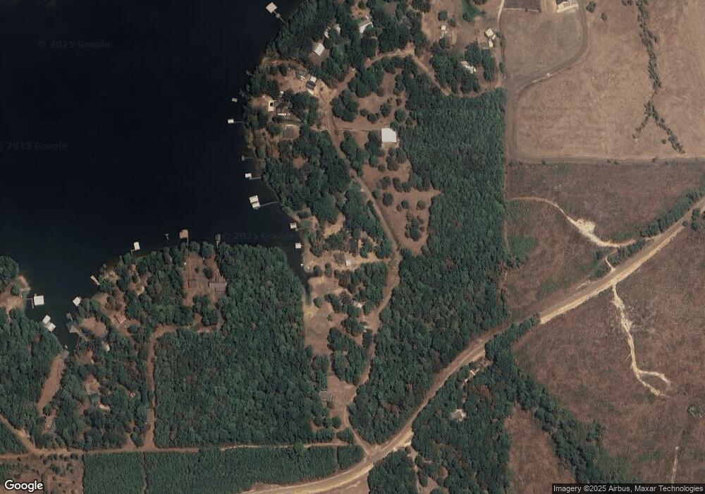
Map
Nearby Homes
- 000 Little Flock Rd Unit Tract 2
- 75 Gang Plank Trail
- 34 Gang Plank Trail
- 0 Spyglass Rd
- 99 Esto Rd Unit 42
- 152 Gang Plank Trail
- 124 Bounty Trail
- 275 Darren St
- 0002 Loggers Trail
- 0003 Loggers Trail
- 0001 Loggers Trail
- 642 Loggers Trail
- 315 Arnold Rd
- 75 Cypress Point Dr Unit 10
- 45 Bono Dr
- 281 Virginia Ln
- 340 Mike St
- 0 Speight Dr
- 0 Yokum Trail Unit 11607796
- 1 Yokum Trail