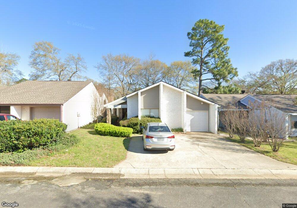
219 Atrium Ct Warner Robins, GA 31088
Estimated Value: $135,000 - $169,137
3
Beds
2
Baths
1,470
Sq Ft
$105/Sq Ft
Est. Value
About This Home
This home is located at 219 Atrium Ct, Warner Robins, GA 31088 and is currently estimated at $154,034, approximately $104 per square foot. 219 Atrium Ct is a home located in Houston County with nearby schools including Russell Elementary School, Warner Robins Middle School, and Warner Robins High School.
Ownership History
Date
Name
Owned For
Owner Type
Purchase Details
Closed on
Aug 16, 2016
Sold by
Turner Patricia Ann
Bought by
Radford Todd
Current Estimated Value
Home Financials for this Owner
Home Financials are based on the most recent Mortgage that was taken out on this home.
Original Mortgage
$72,653
Outstanding Balance
$57,912
Interest Rate
3.45%
Mortgage Type
New Conventional
Estimated Equity
$96,122
Purchase Details
Closed on
Feb 21, 2002
Sold by
Turner Mary Agnes Estate
Bought by
Pasley Patricia Ann Turner
Purchase Details
Closed on
May 29, 1992
Sold by
Barfield Ralph and Barfield Lynette M
Bought by
Turner Mary Agnes
Create a Home Valuation Report for This Property
The Home Valuation Report is an in-depth analysis detailing your home's value as well as a comparison with similar homes in the area
Home Values in the Area
Average Home Value in this Area
Purchase History
| Date | Buyer | Sale Price | Title Company |
|---|---|---|---|
| Radford Todd | $74,900 | -- | |
| Pasley Patricia Ann Turner | -- | -- | |
| Turner Mary Agnes | $75,000 | -- |
Source: Public Records
Mortgage History
| Date | Status | Borrower | Loan Amount |
|---|---|---|---|
| Open | Radford Todd | $72,653 |
Source: Public Records
Tax History
| Year | Tax Paid | Tax Assessment Tax Assessment Total Assessment is a certain percentage of the fair market value that is determined by local assessors to be the total taxable value of land and additions on the property. | Land | Improvement |
|---|---|---|---|---|
| 2024 | $1,547 | $47,280 | $2,960 | $44,320 |
| 2023 | $1,298 | $39,360 | $2,960 | $36,400 |
| 2022 | $821 | $35,720 | $2,960 | $32,760 |
| 2021 | $746 | $32,280 | $2,960 | $29,320 |
| 2020 | $736 | $31,680 | $2,960 | $28,720 |
| 2019 | $736 | $31,680 | $2,960 | $28,720 |
| 2018 | $736 | $31,680 | $2,960 | $28,720 |
| 2017 | $697 | $31,680 | $2,960 | $28,720 |
| 2016 | $738 | $31,680 | $2,960 | $28,720 |
| 2015 | -- | $31,680 | $2,960 | $28,720 |
| 2014 | -- | $31,680 | $2,960 | $28,720 |
| 2013 | -- | $32,080 | $2,960 | $29,120 |
Source: Public Records
Map
Nearby Homes
- 124 Stonehedge Dr
- 146 Stoneridge Dr
- 141 Stoneridge Dr
- 100 Stoneridge Dr
- 215 Kimberly Rd
- 116 Wood St
- 105 Marvin Blvd
- 102 Williamsburg Ave
- 100 Williamsburg Ave
- 104 Lakeside Dr
- 131 Cherokee Forest Trail
- 100 Edgewood Ave
- 204 Deerwood Cir
- 413 Tracy Terrace
- 104 Ivey Way
- 515 Kimberly Rd
- 210 Granada Terrace
- 115 Shelia Dr
- 104 Crossing Place
- 217 Station Way
Your Personal Tour Guide
Ask me questions while you tour the home.