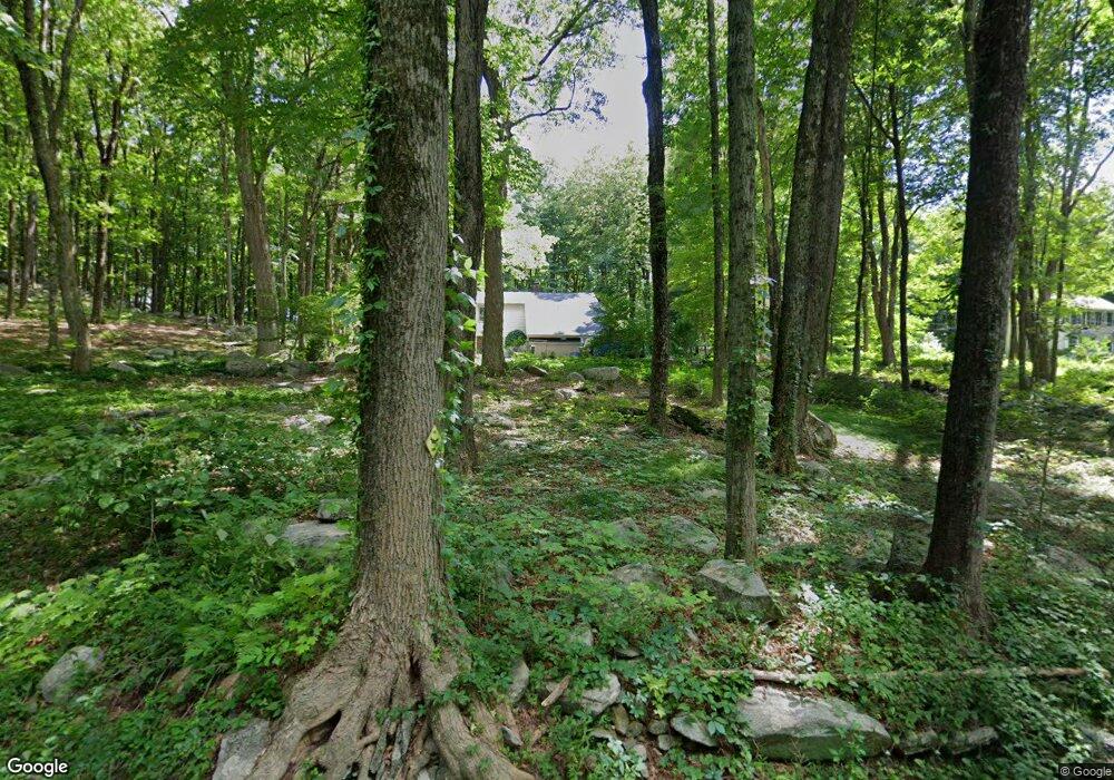
219 Branch Brook Rd Wilton, CT 06897
Estimated Value: $930,000 - $1,230,000
3
Beds
3
Baths
1,880
Sq Ft
$567/Sq Ft
Est. Value
About This Home
This home is located at 219 Branch Brook Rd, Wilton, CT 06897 and is currently estimated at $1,066,216, approximately $567 per square foot. 219 Branch Brook Rd is a home located in Fairfield County with nearby schools including Miller-Driscoll School, Cider Mill School, and Middlebrook School.
Ownership History
Date
Name
Owned For
Owner Type
Purchase Details
Closed on
May 2, 1995
Sold by
Ward Brian and Ward Jennifer
Bought by
Kobialka Walter and Kobialka Edna
Current Estimated Value
Home Financials for this Owner
Home Financials are based on the most recent Mortgage that was taken out on this home.
Original Mortgage
$293,800
Interest Rate
6.5%
Mortgage Type
Unknown
Purchase Details
Closed on
Mar 28, 1991
Sold by
Haufler Hervie and Haufler Patricia
Bought by
Ward Brian and Liu Jennifer
Create a Home Valuation Report for This Property
The Home Valuation Report is an in-depth analysis detailing your home's value as well as a comparison with similar homes in the area
Home Values in the Area
Average Home Value in this Area
Purchase History
| Date | Buyer | Sale Price | Title Company |
|---|---|---|---|
| Kobialka Walter | $367,250 | -- | |
| Ward Brian | $300,000 | -- |
Source: Public Records
Mortgage History
| Date | Status | Borrower | Loan Amount |
|---|---|---|---|
| Open | Ward Brian | $191,500 | |
| Closed | Ward Brian | $250,000 | |
| Closed | Ward Brian | $293,800 | |
| Previous Owner | Ward Brian | $196,300 |
Source: Public Records
Tax History Compared to Growth
Tax History
| Year | Tax Paid | Tax Assessment Tax Assessment Total Assessment is a certain percentage of the fair market value that is determined by local assessors to be the total taxable value of land and additions on the property. | Land | Improvement |
|---|---|---|---|---|
| 2025 | $13,899 | $569,380 | $306,110 | $263,270 |
| 2024 | $13,631 | $569,380 | $306,110 | $263,270 |
| 2023 | $15,566 | $418,810 | $292,740 | $126,070 |
| 2022 | $11,823 | $418,810 | $292,740 | $126,070 |
| 2021 | $11,672 | $418,810 | $292,740 | $126,070 |
| 2020 | $11,501 | $418,810 | $292,740 | $126,070 |
| 2019 | $7,379 | $418,810 | $292,740 | $126,070 |
| 2018 | $11,964 | $424,410 | $308,000 | $116,410 |
| 2017 | $11,599 | $417,690 | $308,000 | $109,690 |
| 2016 | $11,420 | $417,690 | $308,000 | $109,690 |
| 2015 | $11,207 | $417,690 | $308,000 | $109,690 |
| 2014 | $11,073 | $417,690 | $308,000 | $109,690 |
Source: Public Records
Map
Nearby Homes
- 35 Branch Brook Rd
- 38 Honey Hill Rd
- 13 Indian Hill Rd
- 175 Mountain Rd
- 00 Old Mill Rd
- 33 Cannon Rd
- 112 Middlebrook Farm Rd
- 0 Old Mill Rd
- 25 Samuelson Rd
- 54 Mountain Rd
- 23 Wilson Rd
- 30 Black Alder Ln
- 55 Tanners Dr
- 12 Upper Parish Dr
- 96 Georgetown Rd
- 330 Ridgefield Rd
- 0 Mountain Rd
- 33 Middlebrook Farm Rd
- 20 Georgetown Rd
- 9 Read Place
- 211 Branch Brook Rd
- 195 Branch Brook Rd
- 201 Branch Brook Rd
- 220 Branch Brook Rd
- 14 Saint Johns Rd
- 10 Saint Johns Rd
- 28 Saint Johns Rd
- 222 Branch Brook Rd
- 48 Saint Johns Rd
- 40 Saint Johns Rd
- 3 Saint Johns Rd
- 187 Branch Brook Rd
- 228 Branch Brook Rd
- 56 Saint Johns Rd
- 191 Branch Brook Rd
- 224 Branch Brook Rd
- 226 Branch Brook Rd
- 193 Branch Brook Rd
- 19 Saint Johns Rd
- 234 Branch Brook Rd