219 Butterfield Rd Denison, TX 75021
Estimated Value: $686,764 - $721,000
3
Beds
3
Baths
2,594
Sq Ft
$271/Sq Ft
Est. Value
About This Home
This home is located at 219 Butterfield Rd, Denison, TX 75021 and is currently estimated at $703,882, approximately $271 per square foot. 219 Butterfield Rd is a home located in Grayson County with nearby schools including Terrell Elementary School, Scott Middle School, and Denison High School.
Ownership History
Date
Name
Owned For
Owner Type
Purchase Details
Closed on
Sep 27, 2018
Sold by
Neff Gary
Bought by
Hatley Kenneth R
Current Estimated Value
Home Financials for this Owner
Home Financials are based on the most recent Mortgage that was taken out on this home.
Original Mortgage
$393,300
Outstanding Balance
$342,981
Interest Rate
4.5%
Mortgage Type
New Conventional
Estimated Equity
$360,901
Purchase Details
Closed on
Jul 16, 2004
Sold by
Yert Teresa L
Bought by
Neff Gary
Create a Home Valuation Report for This Property
The Home Valuation Report is an in-depth analysis detailing your home's value as well as a comparison with similar homes in the area
Home Values in the Area
Average Home Value in this Area
Purchase History
| Date | Buyer | Sale Price | Title Company |
|---|---|---|---|
| Hatley Kenneth R | -- | None Available | |
| Neff Gary | -- | -- |
Source: Public Records
Mortgage History
| Date | Status | Borrower | Loan Amount |
|---|---|---|---|
| Open | Hatley Kenneth R | $393,300 |
Source: Public Records
Tax History Compared to Growth
Tax History
| Year | Tax Paid | Tax Assessment Tax Assessment Total Assessment is a certain percentage of the fair market value that is determined by local assessors to be the total taxable value of land and additions on the property. | Land | Improvement |
|---|---|---|---|---|
| 2025 | $8,345 | $643,493 | $157,500 | $485,993 |
| 2024 | $9,897 | $614,206 | $0 | $0 |
| 2023 | $7,428 | $558,369 | $0 | $0 |
| 2022 | $8,751 | $507,608 | $0 | $0 |
| 2021 | $8,630 | $461,462 | $94,000 | $367,462 |
| 2020 | $8,526 | $429,350 | $64,906 | $364,444 |
| 2019 | $9,053 | $427,347 | $58,344 | $369,003 |
| 2018 | $6,548 | $305,864 | $37,625 | $268,239 |
| 2017 | $6,125 | $314,104 | $42,875 | $271,229 |
| 2016 | $5,526 | $257,784 | $34,563 | $223,221 |
| 2015 | $4,447 | $246,841 | $30,844 | $215,997 |
| 2014 | $4,171 | $211,997 | $30,844 | $181,153 |
Source: Public Records
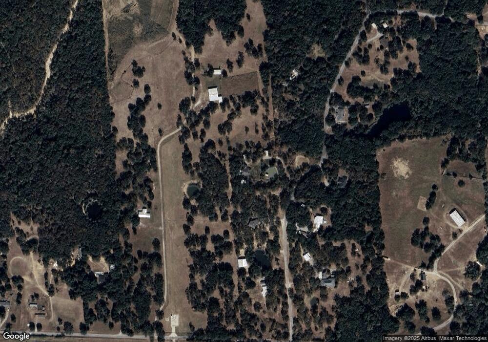
Map
Nearby Homes
- 4489 E Farm To Market 120
- 3091 E Fm 120
- 4489 E Fm 120
- 2550 Farm To Market Road 120
- 426 Gun Club Rd
- 5.92 Rd
- TBD E Fm 120
- 194 Middle Rd
- TBD Singletree Rd
- 1700 Elmore Rd
- 2757 Fm 1753
- 489 Delphia Dr
- TBD NE Fm 1753 & Singletree
- 1988 Elmore Rd
- 115 N Main St
- 725 Carpenters Bluff Rd
- 0 Richerson Rd
- 4336 Carpenters Bluff Rd
- 4822 Fm 1753
- 320 Elmore Rd
- 149 Butterfield Rd
- TBD2 Butterfield Rd
- TBD1 Butterfield Rd
- 152 Butterfield Rd
- 329 Butterfield Rd
- 298 Butterfield Rd
- 65 Butterfield Rd
- 507 Immigrant Trail Rd
- 74 Butterfield Rd
- 105 Immigrant Trail Rd
- 398 Butterfield Rd
- 886 Immigrant Trail Rd
- 1105 Immigrant Trail Rd
- 852 Immigrant Trail Rd
- 776 Immigrant Trail Rd
- 387 Immigrant Trail Rd
- 64 Baby Bird Ln
- 447 Butterfield Rd
- 423 Butterfield Rd
- 341 Immigrant Trail Rd