219 Clark Rd Dallas, GA 30157
Estimated Value: $320,000 - $960,403
3
Beds
3
Baths
1,418
Sq Ft
$380/Sq Ft
Est. Value
About This Home
This home is located at 219 Clark Rd, Dallas, GA 30157 and is currently estimated at $539,134, approximately $380 per square foot. 219 Clark Rd is a home located in Paulding County with nearby schools including Lillian C. Poole Elementary School, Herschel Jones Middle School, and Paulding County High School.
Ownership History
Date
Name
Owned For
Owner Type
Purchase Details
Closed on
Mar 18, 2022
Sold by
Alison Nigito Conservator
Bought by
Williams Myrna L Edwards
Current Estimated Value
Home Financials for this Owner
Home Financials are based on the most recent Mortgage that was taken out on this home.
Original Mortgage
$215,000
Outstanding Balance
$200,024
Interest Rate
3.55%
Mortgage Type
New Conventional
Estimated Equity
$339,110
Purchase Details
Closed on
Jun 7, 2004
Sold by
Lusk Ezra
Bought by
Solomon Christy R
Create a Home Valuation Report for This Property
The Home Valuation Report is an in-depth analysis detailing your home's value as well as a comparison with similar homes in the area
Home Values in the Area
Average Home Value in this Area
Purchase History
| Date | Buyer | Sale Price | Title Company |
|---|---|---|---|
| Williams Myrna L Edwards | $390,000 | -- | |
| Solomon Christy R | $475,000 | -- |
Source: Public Records
Mortgage History
| Date | Status | Borrower | Loan Amount |
|---|---|---|---|
| Open | Williams Myrna L Edwards | $215,000 |
Source: Public Records
Tax History Compared to Growth
Tax History
| Year | Tax Paid | Tax Assessment Tax Assessment Total Assessment is a certain percentage of the fair market value that is determined by local assessors to be the total taxable value of land and additions on the property. | Land | Improvement |
|---|---|---|---|---|
| 2024 | $4,411 | $316,632 | $161,720 | $154,912 |
| 2023 | $4,295 | $298,516 | $156,160 | $142,356 |
| 2022 | $3,843 | $257,092 | $131,720 | $125,372 |
| 2021 | $3,546 | $208,484 | $107,520 | $100,964 |
| 2020 | $3,323 | $203,204 | $111,840 | $91,364 |
| 2019 | $3,185 | $200,444 | $114,720 | $85,724 |
| 2018 | $2,588 | $159,836 | $92,960 | $66,876 |
| 2017 | $2,498 | $156,240 | $92,960 | $63,280 |
| 2016 | $2,380 | $165,208 | $104,600 | $60,608 |
| 2015 | $2,302 | $161,772 | $104,600 | $57,172 |
| 2014 | $2,690 | $169,400 | $8,240 | $62,080 |
| 2013 | -- | $182,364 | $125,324 | $57,040 |
Source: Public Records
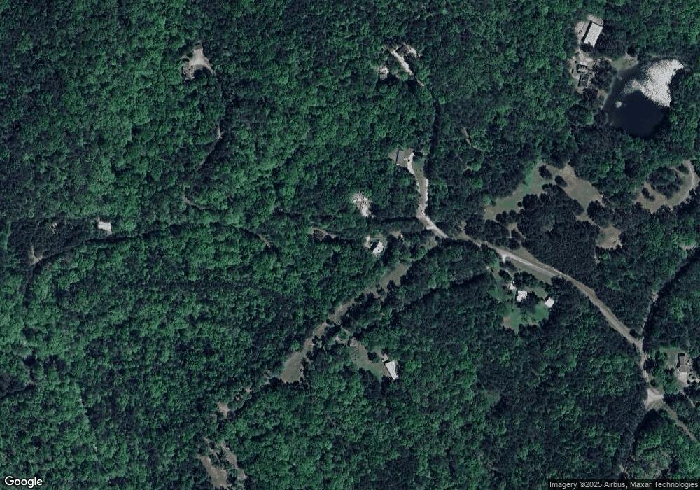
Map
Nearby Homes
- 0 Hulseytown Rd Unit 10571268
- 0 Hulseytown Rd Unit 7621513
- 33 Blue Springs Way
- 251 Highgrove Way
- 219 Oakleigh Dr
- 100 S Fortune Way
- 552 S Fortune Way
- 336 Bennett Way
- 122 Arena Trail
- 112 W Skyline View
- 2240 Buchanan Hwy
- 111 W Skyline View
- 204 Overlook Dr
- 439 Flemister Cir
- #3 Lone Bear Path
- 209 Overlook Dr
- 201 Cir
- 219 Clark Rd Unit B
- 235 Clark Rd
- 58 Clark Creek Path
- 230 Clark Rd
- 197 Clark Rd
- 145 Clark Rd
- 0 Clark Rd Unit 3183251
- 0 Clark Rd Unit 8507099
- 0 Clark Rd Unit 8506020
- 0 Clark Rd Unit 8433791
- 0 Clark Rd
- 232 Clark Rd
- 0 Clark Creek Path
- 319 Clark Creek Path
- 1230 Hulseytown Rd
- 35 Red Mountain Rd
- 1720 Hulseytown Rd
- 215 Clark Rd
- 75 Red Mountain Rd
- 1455 Hulseytown Rd