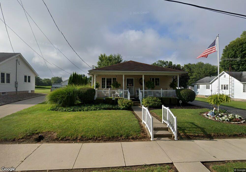
219 E Broad St Spiceland, IN 47385
Estimated Value: $167,000 - $197,000
2
Beds
2
Baths
1,420
Sq Ft
$130/Sq Ft
Est. Value
About This Home
This home is located at 219 E Broad St, Spiceland, IN 47385 and is currently estimated at $184,194, approximately $129 per square foot. 219 E Broad St is a home with nearby schools including Tri Elementary School and Tri Junior/Senior High School.
Ownership History
Date
Name
Owned For
Owner Type
Purchase Details
Closed on
Feb 25, 2019
Sold by
Myers Joyce A and Myers Charles L
Bought by
Myers Joyce A
Current Estimated Value
Purchase Details
Closed on
Feb 7, 2008
Sold by
Myers Charles L and Myers Joyce Ann
Bought by
Charles L Myers & Joyce A Myers Trust
Create a Home Valuation Report for This Property
The Home Valuation Report is an in-depth analysis detailing your home's value as well as a comparison with similar homes in the area
Purchase History
| Date | Buyer | Sale Price | Title Company |
|---|---|---|---|
| Myers Joyce A | -- | None Available | |
| Charles L Myers & Joyce A Myers Trust | -- | None Available |
Source: Public Records
Tax History
| Year | Tax Paid | Tax Assessment Tax Assessment Total Assessment is a certain percentage of the fair market value that is determined by local assessors to be the total taxable value of land and additions on the property. | Land | Improvement |
|---|---|---|---|---|
| 2024 | $888 | $136,900 | $6,100 | $130,800 |
| 2023 | $835 | $119,700 | $6,100 | $113,600 |
| 2022 | $836 | $110,200 | $4,500 | $105,700 |
| 2021 | $634 | $92,600 | $4,500 | $88,100 |
| 2020 | $698 | $93,400 | $4,500 | $88,900 |
| 2019 | $655 | $90,100 | $4,500 | $85,600 |
| 2018 | $613 | $89,300 | $4,500 | $84,800 |
| 2017 | $500 | $82,000 | $4,500 | $77,500 |
| 2016 | $466 | $81,300 | $4,500 | $76,800 |
| 2014 | $545 | $89,500 | $4,500 | $85,000 |
| 2013 | $545 | $85,500 | $4,500 | $81,000 |
Source: Public Records
Map
Nearby Homes
- 5750 S State Rd 3
- 5750 State Road 3
- 6709 Indiana 3
- 218 S Pearl St
- 7101 S State Road 3
- 424 W Broad St
- 204 Cherry St
- 1211 W County Road 400 S
- 000 E County Road 650 S
- 3255 S Greensboro Pike
- 90A** S County Road 100 E
- 90A*** S County Road 100 E
- 17A*** S County Road 100 E
- 4184 S County Road 625 W
- 200 E 1100 N
- 6913 W County Road 750 S
- 000 S State Road 103
- **** County Road 300 S
- 5362 S Old State Road 103
- 303 W Main St
- 215 E Broad St
- 223 E Broad St
- 211 E Broad St
- 227 E Broad St
- 230 E Broad St
- 218 E Broad St
- 214 E Broad St
- 214 E Broad St Unit Spiceland
- 203 E Broad St
- 214 S 2nd St
- 206 E Broad St
- 202 E Broad St
- 302 E Broad St
- 220 S 2nd St
- 133 E Broad St
- 311 E Broad St Unit Spiceland
- 311 E Broad St
- 306 E Broad St
- 215 S 2nd St
- 125 E Broad St
Your Personal Tour Guide
Ask me questions while you tour the home.