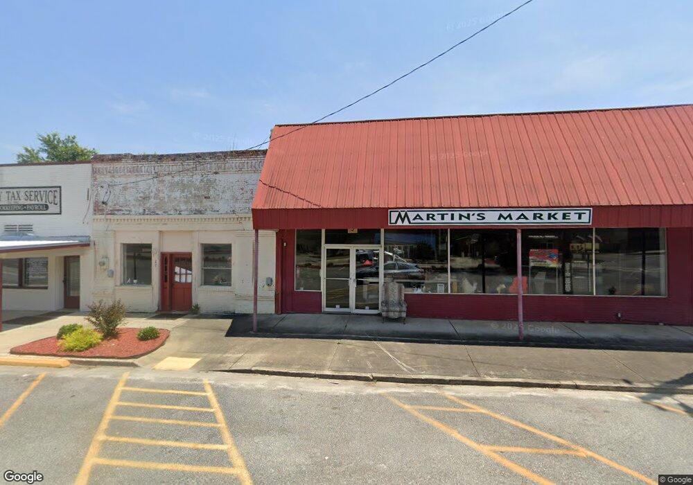
219 E Main St Dexter, GA 31019
Studio
--
Bath
6,030
Sq Ft
6,970
Sq Ft Lot
About This Home
This home is located at 219 E Main St, Dexter, GA 31019. 219 E Main St is a home located in Laurens County with nearby schools including Southwest Laurens Elementary School, Northwest Laurens Elementary School, and East Laurens Primary School.
Ownership History
Date
Name
Owned For
Owner Type
Purchase Details
Closed on
Dec 30, 2010
Sold by
First Laurens Bank
Bought by
M & T Leasing Company Llc
Purchase Details
Closed on
Oct 5, 2010
Sold by
Deraney George A
Bought by
First Laurens Bank
Purchase Details
Closed on
Apr 8, 2008
Sold by
Roberts Freda
Bought by
Deraney George
Purchase Details
Closed on
Sep 9, 2005
Sold by
Mullis Ronnie Elijah
Bought by
Roberts Freda Helen
Purchase Details
Closed on
Jul 9, 2001
Sold by
Mullis Ronnie Joe
Bought by
Mullis Ronnie Elijah
Purchase Details
Closed on
Aug 31, 1996
Sold by
Peacock James Carlto
Bought by
Mullis Ronnie Joe
Purchase Details
Closed on
Oct 31, 1995
Sold by
Lowery Jack J
Purchase Details
Closed on
Feb 23, 1994
Sold by
Hobbs Don and Hobbs Kim
Create a Home Valuation Report for This Property
The Home Valuation Report is an in-depth analysis detailing your home's value as well as a comparison with similar homes in the area
Purchase History
| Date | Buyer | Sale Price | Title Company |
|---|---|---|---|
| M & T Leasing Company Llc | $8,000 | -- | |
| First Laurens Bank | -- | -- | |
| Deraney George | $7,000 | -- | |
| Roberts Freda Helen | $8,983 | -- | |
| Mullis Ronnie Elijah | -- | -- | |
| Mullis Ronnie Joe | $6,800 | -- | |
| -- | $6,000 | -- | |
| -- | $4,000 | -- |
Source: Public Records
Tax History
| Year | Tax Paid | Tax Assessment Tax Assessment Total Assessment is a certain percentage of the fair market value that is determined by local assessors to be the total taxable value of land and additions on the property. | Land | Improvement |
|---|---|---|---|---|
| 2025 | $66 | $2,974 | $504 | $2,470 |
| 2024 | $224 | $9,444 | $504 | $8,940 |
| 2023 | $88 | $3,666 | $560 | $3,106 |
| 2022 | $78 | $3,666 | $560 | $3,106 |
| 2021 | $80 | $3,666 | $560 | $3,106 |
| 2020 | $80 | $3,666 | $560 | $3,106 |
| 2019 | $80 | $3,666 | $560 | $3,106 |
| 2018 | $80 | $3,666 | $560 | $3,106 |
| 2017 | $80 | $3,666 | $560 | $3,106 |
| 2016 | $80 | $3,666 | $560 | $3,106 |
| 2015 | $80 | $3,666 | $560 | $3,106 |
| 2014 | $57 | $2,536 | $300 | $2,236 |
Source: Public Records
Map
Nearby Homes
- 106 Line St
- 101 Harvey St
- 226 Mullis St
- 312 Mullis St
- 509 Lakeview Dr
- 604 Shy St
- 0 Mark Wood Rd Unit 26419362
- 0 Mark Wood Rd Unit 26717584
- 0 Mark Wood Rd Unit 10695810
- 0 Springhaven Rd Unit LOT 19 10589733
- 0 Springhaven Rd Unit LOT 18 10589731
- 0 Mark Wood Rd (Lot 5)
- 0 Mark Wood Rd (Lot 6)
- 0 Mark Wood Rd (Lot 2)
- 0 Mark Wood Rd (Lot 3)
- 0 Mark Wood Rd (Lot 4)
- 0
- 1265 Mark Wood Rd
- 1269 Mark Wood Rd
- 00 Mark Wood Rd (Lot 6)
Your Personal Tour Guide
Ask me questions while you tour the home.