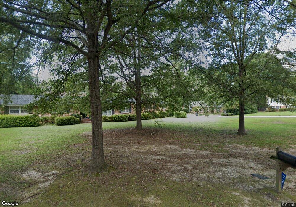
219 E Nottingham Rd Columbia, SC 29210
Seven Oaks NeighborhoodEstimated Value: $250,806 - $286,000
3
Beds
2
Baths
1,912
Sq Ft
$141/Sq Ft
Est. Value
About This Home
This home is located at 219 E Nottingham Rd, Columbia, SC 29210 and is currently estimated at $270,202, approximately $141 per square foot. 219 E Nottingham Rd is a home located in Lexington County with nearby schools including Leaphart Elementary School, Irmo Middle, and Irmo High.
Ownership History
Date
Name
Owned For
Owner Type
Purchase Details
Closed on
Mar 20, 2025
Sold by
Derrick Joseph
Bought by
Derrick Katherine Michele Smit
Current Estimated Value
Purchase Details
Closed on
Dec 4, 2019
Sold by
Derrick Katherine M
Bought by
Derrick John
Purchase Details
Closed on
Jun 26, 2015
Sold by
Scott Elizabeth R
Bought by
Derrick Katherine M
Home Financials for this Owner
Home Financials are based on the most recent Mortgage that was taken out on this home.
Original Mortgage
$132,554
Interest Rate
4.12%
Mortgage Type
FHA
Create a Home Valuation Report for This Property
The Home Valuation Report is an in-depth analysis detailing your home's value as well as a comparison with similar homes in the area
Home Values in the Area
Average Home Value in this Area
Purchase History
| Date | Buyer | Sale Price | Title Company |
|---|---|---|---|
| Derrick Katherine Michele Smit | -- | None Listed On Document | |
| Derrick Katherine Michele Smit | -- | None Listed On Document | |
| Derrick Joseph | -- | None Listed On Document | |
| Derrick Joseph | -- | None Listed On Document | |
| Derrick John | -- | None Available | |
| Derrick Katherine M | $135,000 | -- |
Source: Public Records
Mortgage History
| Date | Status | Borrower | Loan Amount |
|---|---|---|---|
| Previous Owner | Derrick Katherine M | $132,554 |
Source: Public Records
Tax History Compared to Growth
Tax History
| Year | Tax Paid | Tax Assessment Tax Assessment Total Assessment is a certain percentage of the fair market value that is determined by local assessors to be the total taxable value of land and additions on the property. | Land | Improvement |
|---|---|---|---|---|
| 2024 | $906 | $8,220 | $2,100 | $6,120 |
| 2023 | $3,563 | $5,480 | $1,400 | $4,080 |
| 2022 | $857 | $5,480 | $1,400 | $4,080 |
| 2020 | $893 | $5,480 | $1,400 | $4,080 |
| 2019 | $897 | $5,400 | $1,200 | $4,200 |
| 2018 | $788 | $5,400 | $1,200 | $4,200 |
| 2017 | $767 | $5,400 | $1,200 | $4,200 |
| 2016 | $789 | $5,400 | $1,200 | $4,200 |
| 2014 | $3,364 | $8,554 | $1,728 | $6,826 |
| 2013 | -- | $8,550 | $1,730 | $6,820 |
Source: Public Records
Map
Nearby Homes
- 227 N Stonehedge Dr
- 139 Cheshire Dr
- 163 Cheshire Dr
- 230 Shareditch Rd
- 412 Winstaire Dr
- 515 Shadowbrook Dr
- 107 Southwell Rd
- 454 Forest Grove Cir
- 3700 Bush River Rd Unit J8
- 3700 Bush River Rd Unit K-3
- 3700 Bush River Rd Unit I3
- 3700 Bush River Rd Unit F2
- 224 Linsbury Cir
- 1001 Gardendale Dr
- 219 Ambling Cir
- 736 Shadowbrook Dr
- 1115 Gardendale Dr
- 512 Lewisham Ct
- 169 King George Way
- 247 Piney Grove Rd
- 219 Nottingham Rd
- 209 Nottingham Rd
- 209 E Nottingham Rd
- 314 Brookshire Dr
- 225 E Nottingham Rd
- 225 Nottingham Rd
- 308 Brookshire Dr
- 220 E Nottingham Rd
- 320 Brookshire Dr
- 302 Brookshire Dr
- 224 Nottingham Rd
- 216 Nottingham Rd
- 216 E Nottingham Rd
- 228 Nottingham Rd
- 228 E Nottingham Rd
- 330 Brookshire Dr
- 315 Brookshire Dr
- 209 N Stonehedge Dr
- 208 Nottingham Rd
- 208 E Nottingham Rd
