219 Emily Ln Leicester, NC 28748
Estimated Value: $389,260 - $419,000
2
Beds
2
Baths
1,440
Sq Ft
$284/Sq Ft
Est. Value
About This Home
This home is located at 219 Emily Ln, Leicester, NC 28748 and is currently estimated at $409,315, approximately $284 per square foot. 219 Emily Ln is a home located in Buncombe County with nearby schools including Leicester Elementary School, Clyde A. Erwin High School, and Clyde A. Erwin Middle School.
Ownership History
Date
Name
Owned For
Owner Type
Purchase Details
Closed on
Aug 21, 2002
Sold by
Legg Matthew and Legg Brenda
Bought by
Mitchell Melinda S
Current Estimated Value
Home Financials for this Owner
Home Financials are based on the most recent Mortgage that was taken out on this home.
Original Mortgage
$133,950
Outstanding Balance
$56,600
Interest Rate
6.53%
Estimated Equity
$352,715
Create a Home Valuation Report for This Property
The Home Valuation Report is an in-depth analysis detailing your home's value as well as a comparison with similar homes in the area
Home Values in the Area
Average Home Value in this Area
Purchase History
| Date | Buyer | Sale Price | Title Company |
|---|---|---|---|
| Mitchell Melinda S | $141,000 | -- |
Source: Public Records
Mortgage History
| Date | Status | Borrower | Loan Amount |
|---|---|---|---|
| Open | Mitchell Melinda S | $133,950 |
Source: Public Records
Tax History Compared to Growth
Tax History
| Year | Tax Paid | Tax Assessment Tax Assessment Total Assessment is a certain percentage of the fair market value that is determined by local assessors to be the total taxable value of land and additions on the property. | Land | Improvement |
|---|---|---|---|---|
| 2025 | $1,420 | $215,900 | $37,300 | $178,600 |
| 2024 | $1,420 | $215,900 | $37,300 | $178,600 |
| 2023 | $1,420 | $215,900 | $37,300 | $178,600 |
| 2022 | $1,357 | $215,900 | $0 | $0 |
| 2021 | $1,357 | $215,900 | $0 | $0 |
| 2020 | $1,316 | $196,700 | $0 | $0 |
| 2019 | $1,316 | $196,700 | $0 | $0 |
| 2018 | $1,316 | $196,700 | $0 | $0 |
| 2017 | $1,336 | $161,400 | $0 | $0 |
| 2016 | $1,201 | $161,400 | $0 | $0 |
| 2015 | $1,201 | $161,400 | $0 | $0 |
| 2014 | $1,152 | $161,400 | $0 | $0 |
Source: Public Records
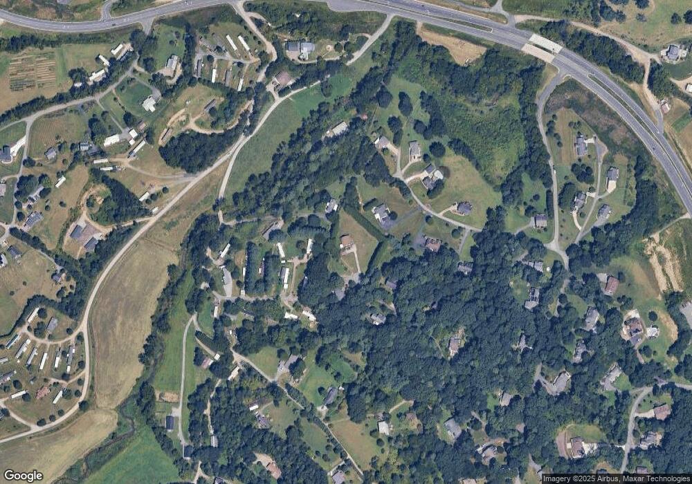
Map
Nearby Homes
- 218 W Walt Haven Dr
- 207 Emily Ln
- 48 Sherry Ln
- 40 Mountain Shadows Dr
- 16 Lawson Ridge Rd
- 99999 Lawson Ridge Rd Unit 13
- 99999 Lawson Ridge Rd Unit 11
- 21 & 24 Betty Dr
- 83 Overlook Dr
- 305 & 317 Sluder Branch Rd
- 2755 New Leicester Hwy
- 62 Douglas Dr
- 124 Shadow View Dr
- 11 Beech Crest Rise None
- 52 Gouges Branch Rd
- 4 Carter Hill Dr
- 99999 New Leicester Hwy
- 41 Alaskan Dr
- 52 Temujin Dr
- 7 Grizzly Dr
- 114 Michael Ct
- 215 Emily Ln
- 220 Emily Ln
- 108 Westview Dr
- 216 Emily Ln
- 22 Westview Dr
- 111 Michael Ct
- 211 Emily Ln
- 119 Michael Ct
- 56 Walt Haven Dr
- 105 Michael Ct
- 12 Westview Dr
- 12 Westview Dr Unit 3
- 117 Michael Ct
- 106 Michael Ct
- TBD Westview Dr
- 000 Freemont Dr
- 000 Freemont Dr Unit Lot 80
- 22 Walt Haven Dr
- 33 Walt Haven Dr