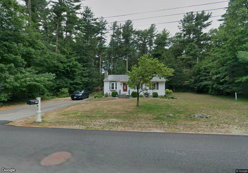
219 Forest St Pembroke, MA 02359
Estimated Value: $524,319 - $587,000
3
Beds
1
Bath
864
Sq Ft
$646/Sq Ft
Est. Value
About This Home
This home is located at 219 Forest St, Pembroke, MA 02359 and is currently estimated at $558,080, approximately $645 per square foot. 219 Forest St is a home located in Plymouth County with nearby schools including Pembroke High School.
Ownership History
Date
Name
Owned For
Owner Type
Purchase Details
Closed on
Aug 29, 2011
Sold by
Fletcher Ethel J
Bought by
Concannon Ann M and Concannon Gregory J
Current Estimated Value
Home Financials for this Owner
Home Financials are based on the most recent Mortgage that was taken out on this home.
Original Mortgage
$195,300
Outstanding Balance
$134,487
Interest Rate
4.53%
Mortgage Type
Purchase Money Mortgage
Estimated Equity
$423,593
Create a Home Valuation Report for This Property
The Home Valuation Report is an in-depth analysis detailing your home's value as well as a comparison with similar homes in the area
Home Values in the Area
Average Home Value in this Area
Purchase History
| Date | Buyer | Sale Price | Title Company |
|---|---|---|---|
| Concannon Ann M | $217,000 | -- |
Source: Public Records
Mortgage History
| Date | Status | Borrower | Loan Amount |
|---|---|---|---|
| Open | Concannon Ann M | $195,300 |
Source: Public Records
Tax History Compared to Growth
Tax History
| Year | Tax Paid | Tax Assessment Tax Assessment Total Assessment is a certain percentage of the fair market value that is determined by local assessors to be the total taxable value of land and additions on the property. | Land | Improvement |
|---|---|---|---|---|
| 2025 | $5,657 | $470,600 | $310,900 | $159,700 |
| 2024 | $5,506 | $457,700 | $305,700 | $152,000 |
| 2023 | $5,363 | $421,600 | $280,900 | $140,700 |
| 2022 | $5,006 | $353,800 | $234,300 | $119,500 |
| 2021 | $4,736 | $324,800 | $224,300 | $100,500 |
| 2020 | $4,637 | $320,000 | $219,500 | $100,500 |
| 2019 | $4,421 | $302,800 | $209,100 | $93,700 |
| 2018 | $4,262 | $286,200 | $203,900 | $82,300 |
| 2017 | $4,171 | $276,200 | $193,900 | $82,300 |
| 2016 | $4,026 | $263,800 | $181,500 | $82,300 |
| 2015 | $3,778 | $256,300 | $173,900 | $82,400 |
Source: Public Records
Map
Nearby Homes
- 234 Forest St
- 72 Valley St
- 118 Plain St
- 20 Edward Dr
- 26 Jessica Cir
- 290 High St
- 249 High St
- 72 Old Cart Path Ln Unit Lot 2
- 77 Old Cart Path Ln Unit Lot 4
- 78 Old Cart Path Ln Unit Lot 3
- 16 Chapel St
- 61 Chapel St
- 25 Little Brook Rd
- 32 Little Brook Rd
- 299 Center St
- 21 Prince Way
- 99 Old Washington St
- 10 Emily Ln
- 10 Fir Rd
- 290 School St