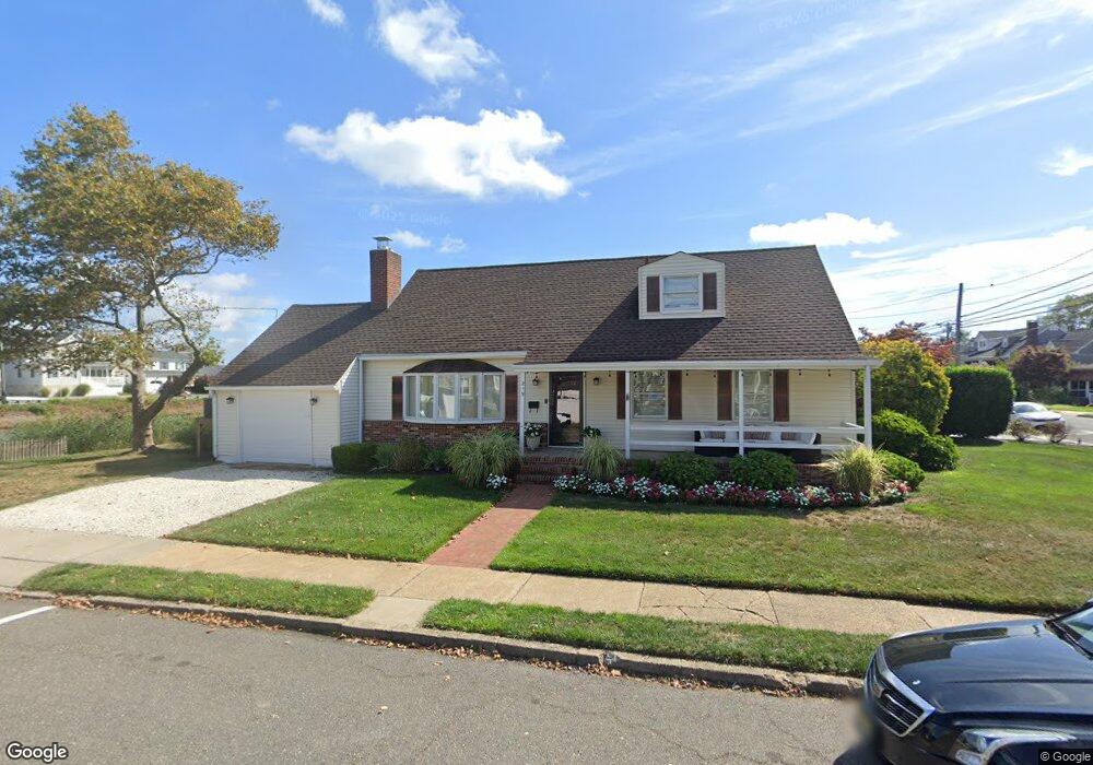
219 Forman Ave Point Pleasant Beach, NJ 08742
Point Pleasant Beach NeighborhoodEstimated Value: $932,000 - $1,306,000
4
Beds
2
Baths
1,817
Sq Ft
$614/Sq Ft
Est. Value
About This Home
This home is located at 219 Forman Ave, Point Pleasant Beach, NJ 08742 and is currently estimated at $1,114,733, approximately $613 per square foot. 219 Forman Ave is a home located in Ocean County with nearby schools including G Harold Antrim Elementary School, Point Pleasant Beach High School, and St. Peter School.
Ownership History
Date
Name
Owned For
Owner Type
Purchase Details
Closed on
Apr 9, 1999
Sold by
Bruno Joseph R
Bought by
Kochman Stacey and Strahle Robert
Current Estimated Value
Home Financials for this Owner
Home Financials are based on the most recent Mortgage that was taken out on this home.
Original Mortgage
$180,000
Outstanding Balance
$45,124
Interest Rate
6.92%
Mortgage Type
Stand Alone First
Estimated Equity
$1,069,609
Create a Home Valuation Report for This Property
The Home Valuation Report is an in-depth analysis detailing your home's value as well as a comparison with similar homes in the area
Home Values in the Area
Average Home Value in this Area
Purchase History
| Date | Buyer | Sale Price | Title Company |
|---|---|---|---|
| Kochman Stacey | $224,999 | First American Title Ins Co |
Source: Public Records
Mortgage History
| Date | Status | Borrower | Loan Amount |
|---|---|---|---|
| Open | Kochman Stacey | $180,000 |
Source: Public Records
Tax History Compared to Growth
Tax History
| Year | Tax Paid | Tax Assessment Tax Assessment Total Assessment is a certain percentage of the fair market value that is determined by local assessors to be the total taxable value of land and additions on the property. | Land | Improvement |
|---|---|---|---|---|
| 2025 | $10,609 | $617,500 | $517,500 | $100,000 |
| 2024 | $10,288 | $617,500 | $517,500 | $100,000 |
| 2023 | $9,997 | $617,500 | $517,500 | $100,000 |
| 2022 | $9,997 | $617,500 | $517,500 | $100,000 |
| 2021 | $9,775 | $617,500 | $517,500 | $100,000 |
| 2020 | $9,492 | $600,400 | $517,500 | $82,900 |
| 2019 | $9,360 | $600,400 | $517,500 | $82,900 |
| 2018 | $9,216 | $600,400 | $517,500 | $82,900 |
| 2017 | $9,072 | $600,400 | $517,500 | $82,900 |
| 2016 | $9,114 | $600,400 | $517,500 | $82,900 |
| 2015 | $9,042 | $600,400 | $517,500 | $82,900 |
| 2014 | $9,000 | $600,400 | $517,500 | $82,900 |
Source: Public Records
Map
Nearby Homes
- 201 Forman Ave
- 110 Trenton Ave
- 118 New York Ave
- 503 Atlantic Ave
- 37 Arnold Ave
- 900 Ocean Ave Unit 16
- 313 Washington Ave
- 305 Chicago Ave
- 1008 Ocean Ave N
- 607 Richmond Ave Unit 4
- 303 Cooks Ln
- 106 Makin Ave
- 331 Hawthorne Ave
- 202 Homestead Ave
- 1322 Ocean Ave
- 325 Hawthorne Ave Unit 327
- 25 Niblick St
- 704 Forman Ave
- 728 Arnold Ave
- 222 Ocean Ave
- 217 Forman Ave
- 215 Forman Ave
- 301 Forman Ave
- 213 Forman Ave
- 303 Forman Ave
- 300 Trenton Ave
- 218 Forman Ave
- 216 Forman Ave
- 211 Forman Ave
- 302 Trenton Ave
- 305 Forman Ave
- 300 Forman Ave
- 212 Forman Ave
- 302 Forman Ave
- 304 Trenton Ave
- 209 Forman Ave
- 307 Forman Ave
- 208 Forman Ave
- 304 Forman Ave
- 306 Trenton Ave