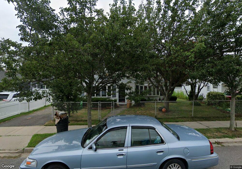
219 Fulton St Massapequa Park, NY 11762
Estimated Value: $607,361 - $736,000
--
Bed
1
Bath
1,308
Sq Ft
$514/Sq Ft
Est. Value
About This Home
This home is located at 219 Fulton St, Massapequa Park, NY 11762 and is currently estimated at $671,681, approximately $513 per square foot. 219 Fulton St is a home located in Nassau County with nearby schools including Massapequa High School - Ames Campus, Berner Middle School, and Massapequa High School.
Ownership History
Date
Name
Owned For
Owner Type
Purchase Details
Closed on
Mar 31, 2021
Sold by
Arnold Verity and Arnold J Verity Sr Estate
Bought by
Verity Arnold
Current Estimated Value
Home Financials for this Owner
Home Financials are based on the most recent Mortgage that was taken out on this home.
Original Mortgage
$260,000
Outstanding Balance
$234,430
Interest Rate
3.05%
Mortgage Type
Commercial
Estimated Equity
$437,251
Create a Home Valuation Report for This Property
The Home Valuation Report is an in-depth analysis detailing your home's value as well as a comparison with similar homes in the area
Home Values in the Area
Average Home Value in this Area
Purchase History
| Date | Buyer | Sale Price | Title Company |
|---|---|---|---|
| Verity Arnold | -- | Stewart Title | |
| Verity Arnold | -- | Stewart Title |
Source: Public Records
Mortgage History
| Date | Status | Borrower | Loan Amount |
|---|---|---|---|
| Open | Verity Arnold | $260,000 | |
| Closed | Verity Arnold | $260,000 |
Source: Public Records
Tax History Compared to Growth
Tax History
| Year | Tax Paid | Tax Assessment Tax Assessment Total Assessment is a certain percentage of the fair market value that is determined by local assessors to be the total taxable value of land and additions on the property. | Land | Improvement |
|---|---|---|---|---|
| 2025 | $10,941 | $405 | $188 | $217 |
| 2024 | $2,851 | $407 | $189 | $218 |
| 2023 | $10,579 | $412 | $191 | $221 |
| 2022 | $10,579 | $422 | $196 | $226 |
| 2021 | $10,783 | $407 | $189 | $218 |
| 2020 | $7,850 | $622 | $561 | $61 |
| 2019 | $3,178 | $622 | $548 | $74 |
| 2018 | $3,510 | $622 | $0 | $0 |
| 2017 | $468 | $637 | $561 | $76 |
| 2016 | $2,376 | $637 | $533 | $104 |
| 2015 | $1,630 | $637 | $533 | $104 |
| 2014 | $1,630 | $637 | $533 | $104 |
| 2013 | $1,599 | $670 | $561 | $109 |
Source: Public Records
Map
Nearby Homes
- 89 3rd Ave
- 171 Mckinley St
- 168 von Huenfeld St
- 170 Lindbergh St
- 118 Broadway
- 33 6th Ave
- 72 Koehl St
- 2 Roosevelt Ave
- 104 Grand Blvd
- 1130 Lakeshore Dr
- 204 Broadway
- 117 Ocean Ave
- 384 Connecticut Ave
- 251 Roosevelt Ave
- 262 New Hampshire Ave
- 71 Park Ln
- 42 Westgate Rd
- 280 Carol Dr
- 53 Glengariff Rd
- 208 Eastlake Ave