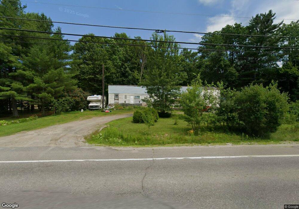
219 High St Oakland, ME 04963
Estimated Value: $157,797 - $349,000
--
Bed
--
Bath
2,268
Sq Ft
$117/Sq Ft
Est. Value
About This Home
This home is located at 219 High St, Oakland, ME 04963 and is currently estimated at $265,449, approximately $117 per square foot. 219 High St is a home with nearby schools including Ralph M. Atwood Primary School, China Primary School, and Williams Elementary School.
Create a Home Valuation Report for This Property
The Home Valuation Report is an in-depth analysis detailing your home's value as well as a comparison with similar homes in the area
Home Values in the Area
Average Home Value in this Area
Tax History Compared to Growth
Tax History
| Year | Tax Paid | Tax Assessment Tax Assessment Total Assessment is a certain percentage of the fair market value that is determined by local assessors to be the total taxable value of land and additions on the property. | Land | Improvement |
|---|---|---|---|---|
| 2024 | $1,308 | $89,500 | $21,000 | $68,500 |
| 2023 | $1,161 | $80,600 | $21,000 | $59,600 |
| 2022 | $1,183 | $68,800 | $19,100 | $49,700 |
| 2021 | $1,128 | $68,800 | $19,100 | $49,700 |
| 2020 | $1,128 | $68,800 | $19,100 | $49,700 |
| 2019 | $1,128 | $68,800 | $19,100 | $49,700 |
| 2018 | $1,128 | $68,800 | $19,100 | $49,700 |
| 2017 | $3,220 | $68,800 | $19,100 | $49,700 |
| 2016 | $2,817 | $68,800 | $19,100 | $49,700 |
| 2015 | $1,039 | $68,800 | $19,100 | $49,700 |
| 2013 | $925 | $67,000 | $19,100 | $47,900 |
Source: Public Records
Map
Nearby Homes
- 113 & 121 High St
- 115 Oak Hill Dr
- 517 Town Farm Rd
- 127 Mary Ln
- 10 New England Ave
- Lot 2 New England Ave
- 69 Heath St
- 19 Autumn Ln
- 14 Autumn Ln
- 18 Autumn Ln
- 155 Oak St
- 78 + 98 Hussey Hill Rd
- Lot 7 McGrath Pond Loop Rd
- 111 Axtell Dr
- 36 & 40 Rowe Ln
- 117 Willey Point Rd
- 103 S Alpine St
- 303 McGrath Pond Rd
- 49 Old Waterville Rd
- 570 McGrath Pond Rd