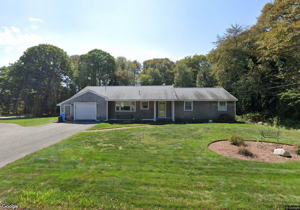
219 Holly Point Rd Centerville, MA 02632
Centerville NeighborhoodEstimated Value: $782,000 - $1,007,000
3
Beds
2
Baths
1,840
Sq Ft
$468/Sq Ft
Est. Value
About This Home
This home is located at 219 Holly Point Rd, Centerville, MA 02632 and is currently estimated at $861,059, approximately $467 per square foot. 219 Holly Point Rd is a home located in Barnstable County with nearby schools including Centerville Elementary School, Barnstable United Elementary School, and Barnstable Intermediate School.
Ownership History
Date
Name
Owned For
Owner Type
Purchase Details
Closed on
Aug 29, 1988
Sold by
Schilling S Paul
Bought by
Malfa Frank J
Current Estimated Value
Home Financials for this Owner
Home Financials are based on the most recent Mortgage that was taken out on this home.
Original Mortgage
$40,000
Interest Rate
10.36%
Mortgage Type
Purchase Money Mortgage
Create a Home Valuation Report for This Property
The Home Valuation Report is an in-depth analysis detailing your home's value as well as a comparison with similar homes in the area
Home Values in the Area
Average Home Value in this Area
Purchase History
| Date | Buyer | Sale Price | Title Company |
|---|---|---|---|
| Malfa Frank J | $160,000 | -- |
Source: Public Records
Mortgage History
| Date | Status | Borrower | Loan Amount |
|---|---|---|---|
| Closed | Malfa Frank J | $40,000 |
Source: Public Records
Tax History
| Year | Tax Paid | Tax Assessment Tax Assessment Total Assessment is a certain percentage of the fair market value that is determined by local assessors to be the total taxable value of land and additions on the property. | Land | Improvement |
|---|---|---|---|---|
| 2025 | $6,288 | $777,300 | $266,100 | $511,200 |
| 2024 | $5,997 | $767,900 | $266,100 | $501,800 |
| 2023 | $5,847 | $701,100 | $263,200 | $437,900 |
| 2022 | $5,289 | $548,600 | $168,600 | $380,000 |
| 2021 | $130 | $494,300 | $179,200 | $315,100 |
| 2020 | $128 | $483,300 | $189,700 | $293,600 |
| 2019 | $122 | $462,700 | $200,200 | $262,500 |
| 2018 | $4,715 | $420,200 | $199,700 | $220,500 |
| 2017 | $4,381 | $407,200 | $205,200 | $202,000 |
| 2016 | $4,278 | $392,500 | $207,200 | $185,300 |
| 2015 | $4,125 | $380,200 | $202,800 | $177,400 |
Source: Public Records
Map
Nearby Homes
- 357 Lakeside Dr W
- 481 Lakeside Dr W
- 5 Chickadee Ln
- 140 Wequaquet Ln
- 10 Sail -A-way
- 10 Sail a Way
- 83 Lake Dr
- 210 Attucks Ln
- 230 Attucks Ln
- 21 Brian Ln
- 66 Tern Ln
- 82 Yacht Club Rd
- 522 Lincoln Road Extension
- 19 Marrick Ct
- 423 Lincoln Road Extension
- 40 Sachem Dr
- 576 Strawberry Hill Rd
- 180 Pond View Dr
- 800 Bearses Way Unit 2SB
- 800 Bearses Way Unit 3NF
- 233 Holly Point Rd
- 212 Holly Point Rd
- 213 Lakeside Dr W
- 125 Lakeside Dr W
- 226 Holly Point Rd
- 229 Lakeside Dr W
- 345 Holly Point Rd
- 249 Holly Point Rd
- 236 Holly Point Rd
- 190 Holly Point Rd
- 241 Lakeside Dr W
- 319 Holly Point Rd
- 305 Holly Point Rd
- 246 Holly Point Rd
- 185 Holly Point Rd
- 346 Holly Point Rd
- 307 Holly Point Rd
- 186 Holly Point Rd
- 256 Holly Point Rd
- 253 Lakeside Dr W
Your Personal Tour Guide
Ask me questions while you tour the home.