219 Hulsey Rd Martin, GA 30557
Estimated Value: $312,438 - $521,000
3
Beds
2
Baths
1,598
Sq Ft
$271/Sq Ft
Est. Value
About This Home
This home is located at 219 Hulsey Rd, Martin, GA 30557 and is currently estimated at $432,479, approximately $270 per square foot. 219 Hulsey Rd is a home with nearby schools including Franklin County High School and Shepherd's Hill Academy.
Ownership History
Date
Name
Owned For
Owner Type
Purchase Details
Closed on
Apr 29, 2010
Sold by
Hulsey Gary N
Bought by
Turner Wade
Current Estimated Value
Home Financials for this Owner
Home Financials are based on the most recent Mortgage that was taken out on this home.
Original Mortgage
$123,000
Outstanding Balance
$82,482
Interest Rate
5.06%
Mortgage Type
New Conventional
Estimated Equity
$349,997
Create a Home Valuation Report for This Property
The Home Valuation Report is an in-depth analysis detailing your home's value as well as a comparison with similar homes in the area
Home Values in the Area
Average Home Value in this Area
Purchase History
| Date | Buyer | Sale Price | Title Company |
|---|---|---|---|
| Turner Wade | $24,500 | -- |
Source: Public Records
Mortgage History
| Date | Status | Borrower | Loan Amount |
|---|---|---|---|
| Open | Turner Wade | $123,000 |
Source: Public Records
Tax History Compared to Growth
Tax History
| Year | Tax Paid | Tax Assessment Tax Assessment Total Assessment is a certain percentage of the fair market value that is determined by local assessors to be the total taxable value of land and additions on the property. | Land | Improvement |
|---|---|---|---|---|
| 2024 | $1,959 | $82,287 | $17,127 | $65,160 |
| 2023 | $1,930 | $74,807 | $15,570 | $59,237 |
| 2022 | $1,712 | $66,360 | $12,499 | $53,861 |
| 2021 | $1,632 | $59,315 | $12,499 | $46,816 |
| 2020 | $1,649 | $59,315 | $12,499 | $46,816 |
| 2019 | $1,593 | $59,315 | $12,499 | $46,816 |
| 2018 | $1,392 | $51,804 | $11,916 | $39,888 |
| 2017 | $1,447 | $51,804 | $11,916 | $39,888 |
| 2016 | $1,381 | $47,335 | $11,916 | $35,419 |
| 2015 | -- | $47,334 | $11,916 | $35,419 |
| 2014 | -- | $46,921 | $11,916 | $35,006 |
| 2013 | -- | $47,293 | $11,915 | $35,378 |
Source: Public Records
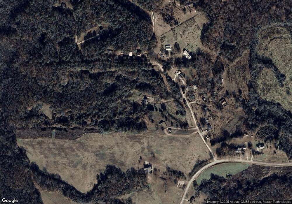
Map
Nearby Homes
- 450 N Clarks Creek Rd
- 16834 Georgia 17
- 740 Chapel Rd
- 919 Pleasant Hill Cir
- 1873 Price Rd
- 0 Fairview Farms Unit 7680882
- 0 Fairview Farms Unit 10623287
- 1057 Pleasant Hill Cir
- 0 Herron Rd Unit 14382283
- 1120 Combs Ave
- 2355 Price Rd
- 556 Oil Mill Rd Unit 7
- 574 Oil Mill Rd Unit 6
- 538 Oil Mill Rd Unit 8
- 0 Georgia 17
- 121 Wilmer Shirley Dr
- 1189 Anderson Thomas Rd Unit 6
- 1380 Anderson Thomas Rd
- 18 Webb Rd
- 312 Grady Brock Rd Unit 19
- 190 Hulsey Rd
- 312 Hulsey Rd
- 266 Hulsey Rd
- 584 N Clarks Creek Rd
- 70 Hulsey Rd
- 605 N Clarks Creek Rd
- 414 N Clarks Creek Rd
- 0 Hulsey Rd Unit 7062286
- 0 Stillwater Cove Unit 2970101
- 700 N Clarks Creek Rd
- 200 N Clarks Creek Rd
- 830 N Clarks Creek Rd
- 790 Freeman Rd
- 85 N Clarks Creek Rd
- 80 N Clarks Creek Rd
- 988 Clarks Creek Rd
- 969 Freeman Rd
- 759 Clarks Creek Rd
- 0 N Clarks Creek Rd Unit 10129035
- 0 N Clarks Creek Rd Unit 7270951