219 Lindsey Path Dallas, GA 30132
Estimated Value: $414,000 - $583,735
4
Beds
3
Baths
1,782
Sq Ft
$272/Sq Ft
Est. Value
About This Home
This home is located at 219 Lindsey Path, Dallas, GA 30132 and is currently estimated at $484,184, approximately $271 per square foot. 219 Lindsey Path is a home located in Paulding County with nearby schools including Northside Elementary School, Herschel Jones Middle School, and North Paulding High School.
Ownership History
Date
Name
Owned For
Owner Type
Purchase Details
Closed on
Dec 7, 2012
Sold by
Moore Dennis W Estate
Current Estimated Value
Purchase Details
Closed on
Aug 31, 2001
Sold by
Moore Martha W and Moore Dennis L
Bought by
Moore Dennis W and Moore Jessica L
Home Financials for this Owner
Home Financials are based on the most recent Mortgage that was taken out on this home.
Original Mortgage
$184,200
Interest Rate
6.74%
Mortgage Type
New Conventional
Create a Home Valuation Report for This Property
The Home Valuation Report is an in-depth analysis detailing your home's value as well as a comparison with similar homes in the area
Home Values in the Area
Average Home Value in this Area
Purchase History
| Date | Buyer | Sale Price | Title Company |
|---|---|---|---|
| -- | -- | -- | |
| Moore Dennis W | -- | -- |
Source: Public Records
Mortgage History
| Date | Status | Borrower | Loan Amount |
|---|---|---|---|
| Previous Owner | Moore Dennis W | $184,200 |
Source: Public Records
Tax History Compared to Growth
Tax History
| Year | Tax Paid | Tax Assessment Tax Assessment Total Assessment is a certain percentage of the fair market value that is determined by local assessors to be the total taxable value of land and additions on the property. | Land | Improvement |
|---|---|---|---|---|
| 2024 | $5,283 | $215,600 | $42,560 | $173,040 |
| 2023 | $5,269 | $204,640 | $41,520 | $163,120 |
| 2022 | $3,919 | $152,200 | $33,400 | $118,800 |
| 2021 | $3,455 | $120,760 | $28,240 | $92,520 |
| 2020 | $3,225 | $110,440 | $28,240 | $82,200 |
| 2019 | $3,119 | $105,360 | $26,880 | $78,480 |
| 2018 | $2,822 | $95,520 | $18,040 | $77,480 |
| 2017 | $2,757 | $92,120 | $18,040 | $74,080 |
| 2016 | $2,141 | $72,680 | $17,160 | $55,520 |
| 2015 | $1,988 | $66,440 | $15,360 | $51,080 |
| 2014 | $1,833 | $59,920 | $14,600 | $45,320 |
| 2013 | -- | $47,320 | $16,240 | $31,080 |
Source: Public Records
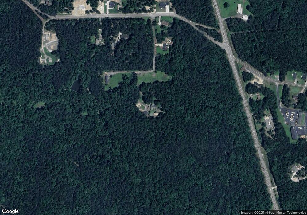
Map
Nearby Homes
- 18 Mountain Ct
- 89 Dundee Crossing
- 272 Kades Cove Dr
- 144 Aberdeen Way
- 219 Aberdeen Way
- 439 Scotland Dr
- 38 Kelso Way
- 24 Polk Path
- 69 Walraven Place
- 000 Westminster Way
- 749 Scotland Dr
- 67 Polk Ln
- 0 Polk Ln Unit 25025134
- 853 Mount Olivet Rd
- Hawthorne Plan at Meadow Pines - Bungalow Series
- Mulberry Plan at Meadow Pines - Bungalow Series
- Spruce Plan at Meadow Pines - Bungalow Series
- Aspen Plan at Meadow Pines - Bungalow Series
- Linden Plan at Meadow Pines - Bungalow Series
- 304 Oscar Way
- 55 Lindsey Path
- 000 Northside Church Rd
- 0 Northside Church Rd Unit 8268885
- 0 Northside Church Rd Unit 7485750
- 0 Northside Church Rd Unit 8988959
- 243 Paulding Meadows Dr
- 175 Paulding Meadows Dr
- 297 Paulding Meadows Dr
- 178 Paulding Meadows Dr
- 30153 Cartersville Hwy
- 1694 Cartersville Hwy
- 284 Paulding Meadows Dr
- 389 Paulding Meadows Dr
- 101 Northside Church Rd
- 1600 Cartersville Hwy
- 1866 Cartersville Hwy
- 0 Paulding Meadows Dr Unit 7446466
- 0 Paulding Meadows Dr Unit 9028626
- 0000 Paulding Meadows Dr
- 1948 Cartersville Hwy