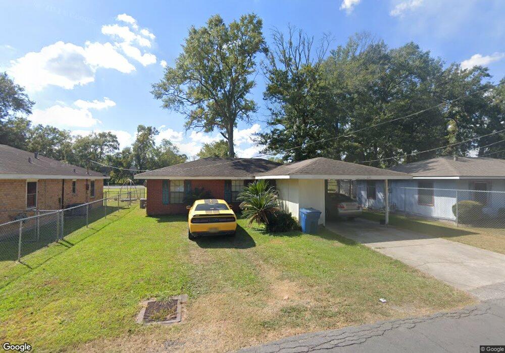
219 Maraist St Saint Martinville, LA 70582
Estimated Value: $47,000 - $106,000
--
Bed
--
Bath
1,000
Sq Ft
$73/Sq Ft
Est. Value
About This Home
This home is located at 219 Maraist St, Saint Martinville, LA 70582 and is currently estimated at $73,398, approximately $73 per square foot. 219 Maraist St is a home located in St. Martin Parish with nearby schools including St. Martinville Primary School and St. Martinville Senior High School.
Ownership History
Date
Name
Owned For
Owner Type
Purchase Details
Closed on
May 15, 2008
Sold by
Us Bank Na
Bought by
Darby Leroy and Darby Margaret B
Current Estimated Value
Purchase Details
Closed on
Aug 22, 2007
Sold by
Sias Brenda Gail
Bought by
Us Bank National Association
Purchase Details
Closed on
Jul 11, 2006
Sold by
Mason Beverly Ellis
Bought by
Sias Brenda Gail
Home Financials for this Owner
Home Financials are based on the most recent Mortgage that was taken out on this home.
Original Mortgage
$76,000
Interest Rate
8.75%
Mortgage Type
Adjustable Rate Mortgage/ARM
Create a Home Valuation Report for This Property
The Home Valuation Report is an in-depth analysis detailing your home's value as well as a comparison with similar homes in the area
Home Values in the Area
Average Home Value in this Area
Purchase History
| Date | Buyer | Sale Price | Title Company |
|---|---|---|---|
| Darby Leroy | $33,000 | -- | |
| Us Bank National Association | $40,000 | -- | |
| Sias Brenda Gail | $80,000 | -- |
Source: Public Records
Mortgage History
| Date | Status | Borrower | Loan Amount |
|---|---|---|---|
| Previous Owner | Sias Brenda Gail | $76,000 |
Source: Public Records
Tax History Compared to Growth
Tax History
| Year | Tax Paid | Tax Assessment Tax Assessment Total Assessment is a certain percentage of the fair market value that is determined by local assessors to be the total taxable value of land and additions on the property. | Land | Improvement |
|---|---|---|---|---|
| 2024 | $701 | $7,290 | $400 | $6,890 |
| 2023 | $633 | $6,350 | $400 | $5,950 |
| 2022 | $633 | $6,350 | $400 | $5,950 |
| 2021 | $633 | $6,350 | $400 | $5,950 |
| 2020 | $630 | $6,350 | $400 | $5,950 |
| 2019 | $620 | $6,190 | $400 | $5,790 |
| 2018 | $612 | $6,190 | $400 | $5,790 |
| 2017 | $612 | $6,190 | $400 | $5,790 |
| 2016 | $585 | $6,190 | $400 | $5,790 |
| 2015 | $602 | $6,090 | $400 | $5,690 |
| 2014 | $607 | $6,090 | $400 | $5,690 |
| 2013 | $607 | $6,090 | $400 | $5,690 |
Source: Public Records
Map
Nearby Homes
- 420 Maraist St
- 812 Washington St
- 135 Oak Dr
- 134 S Martin Luther King Junior Dr
- Lots 171 172 173 Pratt Dr
- 714 Governor Mouton St
- 1513 Teche Dr
- Lots 120 121 122 Pratt Dr
- 115 W Berard St
- Lots 93 94 Pratt Dr
- Lots Pratt Dr
- Lot 66 Pratt Dr
- Lot 67, 68 Pratt Dr
- Lot 95 Pratt Dr
- Lots 198 199 200 Pratt Dr
- 312 S Martin Luther King jr Dr
- 223 W Port St
- 206 S Martin Luther King jr Dr
- 122 W Port St
- 130 S Main St