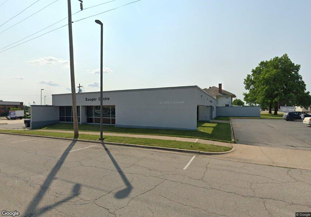
219 N Adams Ave Lebanon, MO 65536
Estimated Value: $524,333
3
Beds
4
Baths
5,680
Sq Ft
$92/Sq Ft
Est. Value
About This Home
This home is located at 219 N Adams Ave, Lebanon, MO 65536 and is currently estimated at $524,333, approximately $92 per square foot. 219 N Adams Ave is a home located in Laclede County with nearby schools including Joe D. Esther Elementary School, Boswell Elementary School, and Maplecrest Elementary School.
Ownership History
Date
Name
Owned For
Owner Type
Purchase Details
Closed on
Apr 28, 2023
Sold by
Mcgruder Management Llc
Bought by
Steeplerock Holdings Llc
Current Estimated Value
Purchase Details
Closed on
Mar 23, 2020
Sold by
Lwop Investments Llc
Bought by
Mcgruder Management Llc
Purchase Details
Closed on
Dec 17, 2019
Sold by
Deputy Yolanda
Bought by
Lwop Investments Llc
Purchase Details
Closed on
Mar 26, 2008
Sold by
Lwop Investments Llc
Bought by
Deputy Darrell and Deputy Yolanda
Create a Home Valuation Report for This Property
The Home Valuation Report is an in-depth analysis detailing your home's value as well as a comparison with similar homes in the area
Home Values in the Area
Average Home Value in this Area
Purchase History
| Date | Buyer | Sale Price | Title Company |
|---|---|---|---|
| Steeplerock Holdings Llc | -- | None Listed On Document | |
| Mcgruder Management Llc | -- | None Available | |
| Lwop Investments Llc | -- | None Available | |
| Deputy Darrell | -- | None Available |
Source: Public Records
Tax History Compared to Growth
Tax History
| Year | Tax Paid | Tax Assessment Tax Assessment Total Assessment is a certain percentage of the fair market value that is determined by local assessors to be the total taxable value of land and additions on the property. | Land | Improvement |
|---|---|---|---|---|
| 2025 | $5,713 | $93,660 | $0 | $0 |
| 2024 | $5,713 | $84,860 | $0 | $0 |
| 2023 | $5,859 | $84,860 | $0 | $0 |
| 2022 | $5,519 | $84,860 | $0 | $0 |
| 2021 | $5,991 | $265,200 | $23,800 | $241,400 |
| 2020 | $5,964 | $262,900 | $24,000 | $238,900 |
| 2019 | $5,749 | $84,130 | $7,680 | $76,450 |
| 2018 | $5,449 | $84,130 | $7,680 | $76,450 |
| 2017 | $5,222 | $84,130 | $0 | $0 |
| 2016 | $5,212 | $84,130 | $0 | $0 |
| 2015 | $5,212 | $84,130 | $0 | $0 |
| 2014 | $5,212 | $84,130 | $0 | $0 |
| 2013 | -- | $84,130 | $0 | $0 |
Source: Public Records
Map
Nearby Homes
- Lot 20 Missouri 64
- 1719 State Hwy 64
- 015 Missouri 64
- Lot 19 Missouri 64
- Lot 18 Missouri 64
- Lot 17 Missouri 64
- 014 Missouri 64
- 016 Missouri 64
- 371 N Washington Ave
- 169 Grand Ave
- 532 N Monroe St
- 581 N Madison Ave
- 0 County Rd 64-152 N A
- 540 Pearl St
- 411 South St
- 466 Lynn St
- 377 Lincoln Ave
- 317 Read St
- 009 Missouri 64
- 000 Missouri 64 Unit Lot 18
- 237 N Adams Ave
- 0 Second St Unit 14067922
- 230 N Adams Ave
- 155 N Adams Ave
- 270 E 2nd St
- 320 N Adams Ave
- 207 E Commercial St
- 337 N Adams Ave
- 121 E Commercial St
- 217 E 3rd St
- 336 N Adams Ave
- 195 N Washington Ave
- 1143711439 Missouri 64
- 17460 Missouri 64
- 17480 Missouri 64
- 27300 Missouri 5
- 0 Highway 64 Unit 18076011
- 0 Hwy 5 Unit 18050881
- 0 Highway 64 Unit 14008778
- 0 Highway 64 Unit 16058295