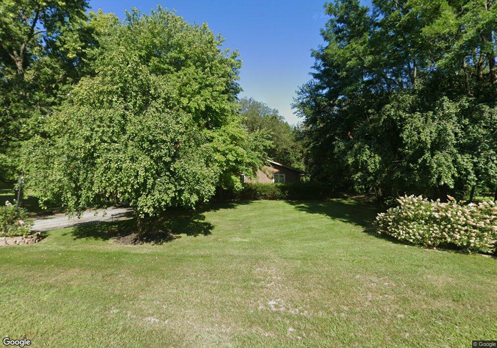
219 N Hamilton St Lockport, IL 60441
Estimated Value: $317,000 - $374,000
3
Beds
2
Baths
--
Sq Ft
0.78
Acres
About This Home
This home is located at 219 N Hamilton St, Lockport, IL 60441 and is currently estimated at $341,207. 219 N Hamilton St is a home located in Will County with nearby schools including Ludwig Elementary School, Walsh Elementary School, and Reed Elementary School.
Ownership History
Date
Name
Owned For
Owner Type
Purchase Details
Closed on
May 15, 2000
Sold by
Klika Mary A
Bought by
Klika Don and Klika Mary A
Current Estimated Value
Home Financials for this Owner
Home Financials are based on the most recent Mortgage that was taken out on this home.
Original Mortgage
$53,500
Interest Rate
8.13%
Purchase Details
Closed on
Jan 14, 1998
Sold by
Chessare John P and Chessare Sandra J
Bought by
Klika Mary A
Home Financials for this Owner
Home Financials are based on the most recent Mortgage that was taken out on this home.
Original Mortgage
$142,868
Outstanding Balance
$25,014
Interest Rate
7.24%
Mortgage Type
FHA
Estimated Equity
$316,193
Create a Home Valuation Report for This Property
The Home Valuation Report is an in-depth analysis detailing your home's value as well as a comparison with similar homes in the area
Home Values in the Area
Average Home Value in this Area
Purchase History
| Date | Buyer | Sale Price | Title Company |
|---|---|---|---|
| Klika Don | -- | Nations Title Agency | |
| Klika Mary A | $145,500 | -- |
Source: Public Records
Mortgage History
| Date | Status | Borrower | Loan Amount |
|---|---|---|---|
| Closed | Klika Don | $53,500 | |
| Open | Klika Mary A | $142,868 |
Source: Public Records
Tax History Compared to Growth
Tax History
| Year | Tax Paid | Tax Assessment Tax Assessment Total Assessment is a certain percentage of the fair market value that is determined by local assessors to be the total taxable value of land and additions on the property. | Land | Improvement |
|---|---|---|---|---|
| 2024 | $7,840 | $110,926 | $34,262 | $76,664 |
| 2023 | $7,840 | $99,584 | $30,759 | $68,825 |
| 2022 | $6,328 | $84,985 | $26,250 | $58,735 |
| 2021 | $5,932 | $79,866 | $24,669 | $55,197 |
| 2020 | $5,772 | $77,240 | $23,858 | $53,382 |
| 2019 | $5,430 | $73,213 | $22,614 | $50,599 |
| 2018 | $5,308 | $70,377 | $21,738 | $48,639 |
| 2017 | $5,049 | $66,437 | $20,521 | $45,916 |
| 2016 | $4,492 | $58,964 | $18,213 | $40,751 |
| 2015 | $3,732 | $52,927 | $16,348 | $36,579 |
| 2014 | $3,732 | $48,557 | $14,998 | $33,559 |
| 2013 | $3,732 | $48,557 | $14,998 | $33,559 |
Source: Public Records
Map
Nearby Homes
- 101 Market St
- 118 N State St
- 120 N State St
- 247 E North St
- 134 S Jefferson St
- 219 S Washington St
- 327 S State St
- 540 E 4th St
- 613 Katherine St
- 609 Oak St
- 805 Maryknoll Dr
- 1009 Mccameron Ave Unit 1
- 814 S Washington St
- 800 Madison St Unit 2C
- 1108 E 9th St
- 812 Northern Dr
- 1102 E Treeline Dr
- 807 Valley Ln
- 1016 S State St
- 1006 S Jefferson St
- 211 N Hamilton St
- 208 N State St
- 216 N State St
- 205 N Hamilton St
- 220 N Hamilton St
- 216 N Hamilton St
- 210 N Hamilton St
- 202 N State St
- 206 N Hamilton St
- 305 Table St
- 201 Morgan St
- 171 N Hamilton St
- 220 Franklin St
- 115 Franklin St
- 205 Morgan St
- 107 Franklin St
- 165 N Hamilton St
- 314 N State St
- 201 N State St