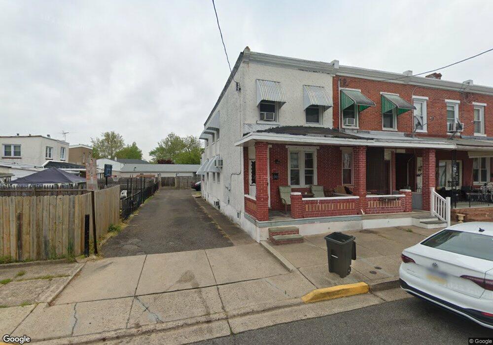
219 New Brook St Bristol, PA 19007
Estimated Value: $255,539 - $307,000
--
Bed
2
Baths
1,316
Sq Ft
$211/Sq Ft
Est. Value
About This Home
This home is located at 219 New Brook St, Bristol, PA 19007 and is currently estimated at $278,180, approximately $211 per square foot. 219 New Brook St is a home located in Bucks County with nearby schools including Snyder-Girotti Elementary School, Bristol High School, and St. Mark Elementary School.
Ownership History
Date
Name
Owned For
Owner Type
Purchase Details
Closed on
Apr 29, 2005
Sold by
Coyle Kevin
Bought by
Bradshaw Gary
Current Estimated Value
Home Financials for this Owner
Home Financials are based on the most recent Mortgage that was taken out on this home.
Original Mortgage
$113,400
Interest Rate
6.65%
Mortgage Type
Purchase Money Mortgage
Purchase Details
Closed on
Jun 30, 1995
Sold by
Difelice Adalgisa and Verduci Lydia
Bought by
Coyle Kevin H
Home Financials for this Owner
Home Financials are based on the most recent Mortgage that was taken out on this home.
Original Mortgage
$69,939
Interest Rate
7.84%
Mortgage Type
FHA
Create a Home Valuation Report for This Property
The Home Valuation Report is an in-depth analysis detailing your home's value as well as a comparison with similar homes in the area
Home Values in the Area
Average Home Value in this Area
Purchase History
| Date | Buyer | Sale Price | Title Company |
|---|---|---|---|
| Bradshaw Gary | $126,000 | -- | |
| Coyle Kevin H | $70,000 | -- |
Source: Public Records
Mortgage History
| Date | Status | Borrower | Loan Amount |
|---|---|---|---|
| Previous Owner | Bradshaw Gary | $113,400 | |
| Previous Owner | Coyle Kevin H | $69,939 |
Source: Public Records
Tax History Compared to Growth
Tax History
| Year | Tax Paid | Tax Assessment Tax Assessment Total Assessment is a certain percentage of the fair market value that is determined by local assessors to be the total taxable value of land and additions on the property. | Land | Improvement |
|---|---|---|---|---|
| 2025 | $3,539 | $15,200 | $2,320 | $12,880 |
| 2024 | $3,539 | $15,200 | $2,320 | $12,880 |
| 2023 | $3,509 | $15,200 | $2,320 | $12,880 |
| 2022 | $3,509 | $15,200 | $2,320 | $12,880 |
| 2021 | $3,509 | $15,200 | $2,320 | $12,880 |
| 2020 | $3,608 | $15,200 | $2,320 | $12,880 |
| 2019 | $3,592 | $15,200 | $2,320 | $12,880 |
| 2018 | $3,592 | $15,200 | $2,320 | $12,880 |
| 2017 | $3,573 | $15,200 | $2,320 | $12,880 |
| 2016 | $3,573 | $15,200 | $2,320 | $12,880 |
| 2015 | -- | $15,200 | $2,320 | $12,880 |
| 2014 | -- | $15,200 | $2,320 | $12,880 |
Source: Public Records
Map
Nearby Homes
- 213 New Brook St
- 303 Lincoln Ave
- 418 Jefferson Ave Unit 10
- 418 Jefferson Ave Unit 4
- 418 Jefferson Ave Unit 11
- 209 Dorrance St
- 220 Dorrance St
- 216 Dorrance St
- 612 Pond St
- 16442 River View Cir
- 16434 River View Cir
- 16444 River View Cir
- 16352 River View Cir
- 16422 River View Cir
- 16342 River View Cir
- 16251 River View Cir
- 16242 River View Cir
- 16241 River View Cir
- 16232 River View Cir
- 16344 River View Cir