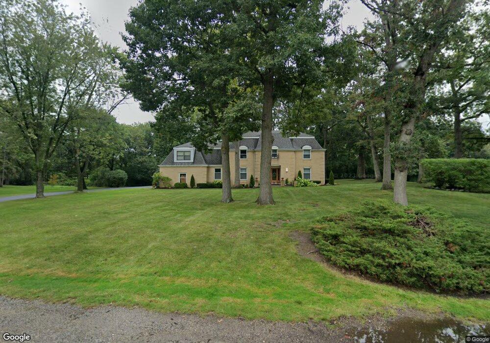
219 Oak Ln Winthrop Harbor, IL 60096
Estimated Value: $404,299 - $486,000
4
Beds
3
Baths
3,103
Sq Ft
$145/Sq Ft
Est. Value
About This Home
This home is located at 219 Oak Ln, Winthrop Harbor, IL 60096 and is currently estimated at $450,575, approximately $145 per square foot. 219 Oak Ln is a home located in Lake County with nearby schools including Kenneth Murphy School, Beach Park Middle School, and Zion-Benton Township High School.
Ownership History
Date
Name
Owned For
Owner Type
Purchase Details
Closed on
Jan 23, 2001
Sold by
Oak Brook Bank
Bought by
Sisson Karlton B and Sisson Kathy F
Current Estimated Value
Home Financials for this Owner
Home Financials are based on the most recent Mortgage that was taken out on this home.
Original Mortgage
$110,000
Interest Rate
7.18%
Purchase Details
Closed on
Mar 16, 1999
Sold by
Blair Victor R and Blair Katherine A
Bought by
Oak Brook Bank and Trust #3062
Create a Home Valuation Report for This Property
The Home Valuation Report is an in-depth analysis detailing your home's value as well as a comparison with similar homes in the area
Home Values in the Area
Average Home Value in this Area
Purchase History
| Date | Buyer | Sale Price | Title Company |
|---|---|---|---|
| Sisson Karlton B | $290,000 | -- | |
| Oak Brook Bank | -- | -- |
Source: Public Records
Mortgage History
| Date | Status | Borrower | Loan Amount |
|---|---|---|---|
| Closed | Sisson Karlton B | $110,000 |
Source: Public Records
Tax History Compared to Growth
Tax History
| Year | Tax Paid | Tax Assessment Tax Assessment Total Assessment is a certain percentage of the fair market value that is determined by local assessors to be the total taxable value of land and additions on the property. | Land | Improvement |
|---|---|---|---|---|
| 2024 | $9,836 | $102,399 | $13,981 | $88,418 |
| 2023 | $9,281 | $98,850 | $13,496 | $85,354 |
| 2022 | $9,281 | $89,903 | $13,153 | $76,750 |
| 2021 | $9,541 | $87,616 | $12,818 | $74,798 |
| 2020 | $9,315 | $83,611 | $12,232 | $71,379 |
| 2019 | $9,274 | $79,327 | $11,605 | $67,722 |
| 2018 | $10,025 | $82,745 | $14,106 | $68,639 |
| 2017 | $9,943 | $77,841 | $13,270 | $64,571 |
| 2016 | $9,680 | $74,106 | $12,633 | $61,473 |
| 2015 | $9,413 | $67,963 | $11,586 | $56,377 |
| 2014 | $11,833 | $89,223 | $12,165 | $77,058 |
| 2012 | $11,830 | $92,719 | $12,642 | $80,077 |
Source: Public Records
Map
Nearby Homes
- 210 Oak Ln
- Lt0 128th St
- 43100 N Lewis Ave
- 42908 N Lewis Ave
- 11279 W Russell Rd
- Lt0 39th Ave
- 432 Megan Place
- 436 Megan Place
- 429 Megan Place
- 3903 9th St
- 0 9th St
- 12122 28th Ave
- 12111 28th Ave
- 43411 Lynn Dale Dr
- 908 Countrywood Dr
- 0 Garnett Ave
- 1304 Pelican Ct
- 242 Thompson Ave
- 3707 Willow Crest Dr
- 3717 Willow Crest Dr