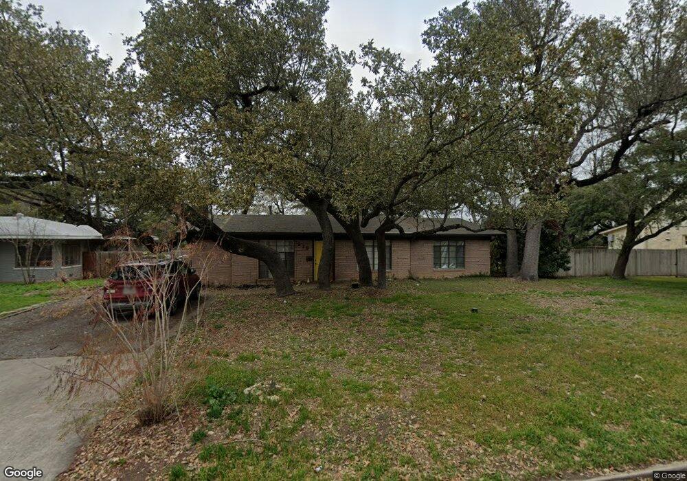
219 Oakleaf Dr San Antonio, TX 78209
Oak Park-Northwood NeighborhoodEstimated Value: $574,000 - $594,000
3
Beds
2
Baths
1,960
Sq Ft
$300/Sq Ft
Est. Value
About This Home
This home is located at 219 Oakleaf Dr, San Antonio, TX 78209 and is currently estimated at $587,202, approximately $299 per square foot. 219 Oakleaf Dr is a home located in Bexar County with nearby schools including Woodridge Elementary School, Alamo Heights Junior School, and Alamo Heights High School.
Ownership History
Date
Name
Owned For
Owner Type
Purchase Details
Closed on
May 31, 2024
Sold by
Branson Curtis Michael
Bought by
Branson Curtis Michael and Brickley Shannon Elise
Current Estimated Value
Purchase Details
Closed on
Aug 18, 2021
Sold by
Branson Margo Hoover
Bought by
Branson Curtis Michael
Create a Home Valuation Report for This Property
The Home Valuation Report is an in-depth analysis detailing your home's value as well as a comparison with similar homes in the area
Home Values in the Area
Average Home Value in this Area
Purchase History
| Date | Buyer | Sale Price | Title Company |
|---|---|---|---|
| Branson Curtis Michael | -- | None Listed On Document | |
| Branson Curtis Michael | -- | None Available |
Source: Public Records
Tax History Compared to Growth
Tax History
| Year | Tax Paid | Tax Assessment Tax Assessment Total Assessment is a certain percentage of the fair market value that is determined by local assessors to be the total taxable value of land and additions on the property. | Land | Improvement |
|---|---|---|---|---|
| 2025 | $3,546 | $611,890 | $298,450 | $313,440 |
| 2024 | $3,546 | $611,475 | $298,450 | $330,380 |
| 2023 | $3,546 | $555,886 | $298,450 | $296,490 |
| 2022 | $5,751 | $505,351 | $206,130 | $337,180 |
| 2021 | $5,675 | $459,410 | $179,220 | $280,190 |
| 2020 | $10,732 | $429,570 | $124,160 | $305,410 |
| 2019 | $10,990 | $429,570 | $124,160 | $305,410 |
| 2018 | $10,471 | $418,000 | $124,160 | $293,840 |
| 2017 | $9,623 | $384,166 | $124,160 | $262,990 |
| 2016 | $8,748 | $349,242 | $107,460 | $246,740 |
| 2015 | $5,313 | $317,493 | $107,460 | $241,920 |
| 2014 | $5,313 | $288,630 | $0 | $0 |
Source: Public Records
Map
Nearby Homes
- 215 Oakleaf Dr
- 134 Rockhill Dr
- 205 Larkwood Dr
- 127 Larkwood Dr
- 215 Tophill Rd
- 419 Woodcrest Dr
- 318 Northridge Dr
- 315 Tophill Rd
- 351 Northridge Dr
- 8033 N New Braunfels Ave Unit 400D
- 8033 N New Braunfels Ave Unit 500C
- 8033 N New Braunfels Ave Unit 300E
- 623 E Nottingham Dr
- 411 E Nottingham Dr
- 2603 Brookhurst Dr
- 631 Robinhood Place
- 2434 Toftrees Dr
- 510 Burnside Dr
- 247 Ridgehaven Place
- 303 Ridgehaven Place
- 231 Oakleaf Dr
- 7623 Woodridge Dr
- 211 Oakleaf Dr
- 226 Oakleaf Dr
- 7627 Woodridge Dr
- 218 Oakleaf Dr
- 230 Oakleaf Dr
- 207 Oakleaf Dr
- 214 Oakleaf Dr
- 303 Oakleaf Dr
- 2330 Blanton Dr
- 302 Burnside Dr
- 2334 Blanton Dr
- 2326 Blanton Dr
- 203 Oakleaf Dr
- 210 Oakleaf Dr
- 2322 Blanton Dr
- 227 Woodcrest Dr
- 223 Woodcrest Dr
- 2338 Blanton Dr