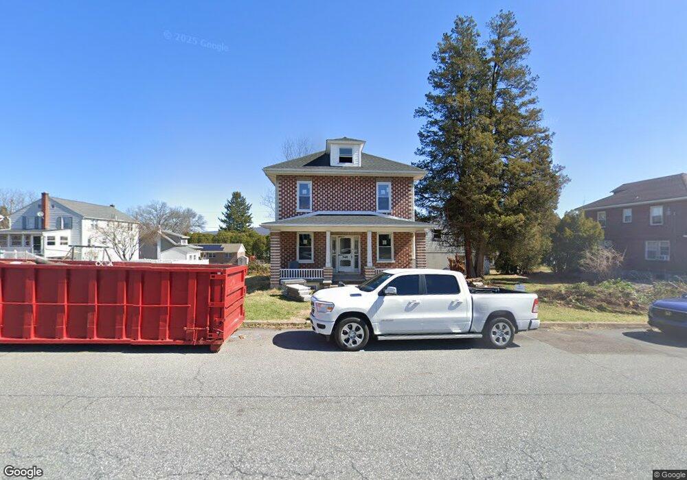
219 Pershing Blvd Reading, PA 19607
Liggett NeighborhoodEstimated Value: $209,000 - $421,052
4
Beds
2
Baths
1,600
Sq Ft
$185/Sq Ft
Est. Value
About This Home
This home is located at 219 Pershing Blvd, Reading, PA 19607 and is currently estimated at $296,763, approximately $185 per square foot. 219 Pershing Blvd is a home located in Berks County with nearby schools including Cumru Elementary School, Governor Mifflin Intermediate School, and Governor Mifflin Middle School.
Ownership History
Date
Name
Owned For
Owner Type
Purchase Details
Closed on
Feb 7, 2025
Sold by
Stoudt Dave W and Stoudt Marcia C
Bought by
Posch Development Group Llc
Current Estimated Value
Purchase Details
Closed on
Mar 26, 1982
Bought by
Stoudt Dave W and Stoudt Marcia C
Create a Home Valuation Report for This Property
The Home Valuation Report is an in-depth analysis detailing your home's value as well as a comparison with similar homes in the area
Home Values in the Area
Average Home Value in this Area
Purchase History
| Date | Buyer | Sale Price | Title Company |
|---|---|---|---|
| Posch Development Group Llc | $200,000 | None Listed On Document | |
| Stoudt Dave W | -- | -- |
Source: Public Records
Tax History
| Year | Tax Paid | Tax Assessment Tax Assessment Total Assessment is a certain percentage of the fair market value that is determined by local assessors to be the total taxable value of land and additions on the property. | Land | Improvement |
|---|---|---|---|---|
| 2025 | $2,129 | $119,300 | $30,900 | $88,400 |
| 2024 | $5,489 | $119,300 | $30,900 | $88,400 |
| 2023 | $5,335 | $119,300 | $30,900 | $88,400 |
| 2022 | $5,202 | $119,300 | $30,900 | $88,400 |
| 2021 | $5,099 | $119,300 | $30,900 | $88,400 |
| 2020 | $5,099 | $119,300 | $30,900 | $88,400 |
| 2019 | $5,036 | $119,300 | $30,900 | $88,400 |
| 2018 | $4,946 | $119,300 | $30,900 | $88,400 |
| 2017 | $4,850 | $119,300 | $30,900 | $88,400 |
Source: Public Records
Map
Nearby Homes
- 1432 Liggett Ave
- 1716 Liggett Ave
- 311 Lynoak Ave
- 526 Harding Ave
- 1406 Farr Rd
- 1375 Pershing Blvd Unit 201
- 1375 Pershing Blvd Unit 404
- 100 Brookline Pz
- 204 High Blvd
- 1108 Liberty Ave
- 1504 Old Mill Rd
- 225 Mcclellan St
- 1020 Meade St
- 1378 Kenhorst Blvd
- 511 Grill Ave
- 1519 Meadowlark Rd
- 1617 Meadowlark Rd
- 405 State St
- 964 New Holland Rd
- 825 Bellefonte Ave
- 205 Pershing Blvd Unit 2
- 205 Pershing Blvd
- 1542 Meade St
- 225 Pershing Blvd
- 1540 Meade St
- 201 & 205 Pershing Blvd
- 1530 Meade St
- 201 Pershing Blvd
- 1525 Gregg Ave
- 1526 Meade St
- 218 Pershing Blvd
- 220 Pershing Blvd
- 222 Pershing Blvd
- 216 Pershing Blvd
- 1521 Gregg Ave
- 214 Pershing Blvd
- 309 Pershing Blvd
- 210 Pershing Blvd
- 226 Pershing Blvd
Your Personal Tour Guide
Ask me questions while you tour the home.