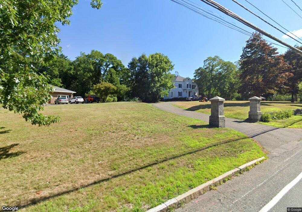
219 Pond St Unit 7 Natick, MA 01760
Estimated Value: $597,189 - $755,000
2
Beds
2
Baths
1,612
Sq Ft
$410/Sq Ft
Est. Value
About This Home
This home is located at 219 Pond St Unit 7, Natick, MA 01760 and is currently estimated at $661,547, approximately $410 per square foot. 219 Pond St Unit 7 is a home located in Middlesex County with nearby schools including Natick High School, J F Kennedy Middle School, and Johnson Elementary School.
Ownership History
Date
Name
Owned For
Owner Type
Purchase Details
Closed on
Oct 30, 2000
Sold by
Larocca Melanie R
Bought by
Dudek Joanne
Current Estimated Value
Home Financials for this Owner
Home Financials are based on the most recent Mortgage that was taken out on this home.
Original Mortgage
$20,500
Outstanding Balance
$7,527
Interest Rate
7.83%
Estimated Equity
$654,020
Purchase Details
Closed on
Sep 6, 1996
Sold by
Small Edward P
Bought by
Larocca Melanie R
Home Financials for this Owner
Home Financials are based on the most recent Mortgage that was taken out on this home.
Original Mortgage
$130,500
Interest Rate
8.11%
Mortgage Type
Purchase Money Mortgage
Create a Home Valuation Report for This Property
The Home Valuation Report is an in-depth analysis detailing your home's value as well as a comparison with similar homes in the area
Home Values in the Area
Average Home Value in this Area
Purchase History
| Date | Buyer | Sale Price | Title Company |
|---|---|---|---|
| Dudek Joanne | $205,000 | -- | |
| Larocca Melanie R | $145,000 | -- |
Source: Public Records
Mortgage History
| Date | Status | Borrower | Loan Amount |
|---|---|---|---|
| Open | Larocca Melanie R | $20,500 | |
| Open | Larocca Melanie R | $164,000 | |
| Previous Owner | Larocca Melanie R | $130,500 |
Source: Public Records
Tax History Compared to Growth
Tax History
| Year | Tax Paid | Tax Assessment Tax Assessment Total Assessment is a certain percentage of the fair market value that is determined by local assessors to be the total taxable value of land and additions on the property. | Land | Improvement |
|---|---|---|---|---|
| 2025 | $6,728 | $562,500 | $0 | $562,500 |
| 2024 | $6,120 | $499,200 | $0 | $499,200 |
| 2023 | $5,875 | $464,800 | $0 | $464,800 |
| 2022 | $5,740 | $430,300 | $0 | $430,300 |
| 2021 | $5,622 | $413,100 | $0 | $413,100 |
| 2020 | $5,622 | $413,100 | $0 | $413,100 |
| 2019 | $5,251 | $413,100 | $0 | $413,100 |
| 2018 | $5,090 | $390,000 | $0 | $390,000 |
| 2017 | $4,891 | $362,600 | $0 | $362,600 |
| 2016 | $4,857 | $357,900 | $0 | $357,900 |
| 2015 | $4,895 | $354,200 | $0 | $354,200 |
Source: Public Records
Map
Nearby Homes
- 91 Speen St
- 4 Sylvia Ave
- 2 Lodge Rd
- 40 Silver Hill Ln Unit 4
- 1 Fern St
- 46 Silver Hill Ln Unit 1
- 32 Silver Hill Ln Unit 1
- 9 Silver Hill Ln Unit 19
- 10 Kelsey Rd
- 12 Walden Dr Unit 19
- 26 Walden Dr Unit 4
- 16 West St
- 38 Ranger Rd
- 57 Village Brook Ln Unit 5
- 50 Village Brook Ln Unit 4
- 157 Mill St
- 25 Forest Ave
- 51 Village Brook Ln Unit 16
- 47 High St
- 58 W Central St