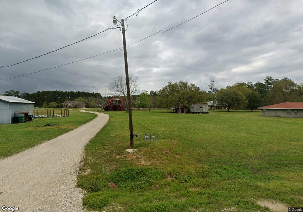
219 Robertson Rd Independence, LA 70443
Estimated Value: $190,000 - $300,000
3
Beds
3
Baths
2,088
Sq Ft
$127/Sq Ft
Est. Value
About This Home
This home is located at 219 Robertson Rd, Independence, LA 70443 and is currently estimated at $264,561, approximately $126 per square foot. 219 Robertson Rd is a home located in Tangipahoa Parish with nearby schools including Independence Leadership Academy, Independence High Magnet, and Mater Dolorosa School.
Ownership History
Date
Name
Owned For
Owner Type
Purchase Details
Closed on
Jun 10, 2011
Sold by
Federal National Mortgage Association
Bought by
Pedigo Hose Leslie and Hose Harry Wayne
Current Estimated Value
Home Financials for this Owner
Home Financials are based on the most recent Mortgage that was taken out on this home.
Original Mortgage
$112,000
Outstanding Balance
$76,212
Interest Rate
4.74%
Mortgage Type
Future Advance Clause Open End Mortgage
Estimated Equity
$188,349
Purchase Details
Closed on
Mar 11, 2010
Sold by
Bac Home Loan Servicing Lp
Bought by
Federal National Mortgage Association
Create a Home Valuation Report for This Property
The Home Valuation Report is an in-depth analysis detailing your home's value as well as a comparison with similar homes in the area
Purchase History
| Date | Buyer | Sale Price | Title Company |
|---|---|---|---|
| Pedigo Hose Leslie | $140,000 | None Available | |
| Federal National Mortgage Association | -- | None Available |
Source: Public Records
Mortgage History
| Date | Status | Borrower | Loan Amount |
|---|---|---|---|
| Open | Pedigo Hose Leslie | $112,000 |
Source: Public Records
Tax History
| Year | Tax Paid | Tax Assessment Tax Assessment Total Assessment is a certain percentage of the fair market value that is determined by local assessors to be the total taxable value of land and additions on the property. | Land | Improvement |
|---|---|---|---|---|
| 2025 | $1,489 | $15,420 | $810 | $14,610 |
| 2024 | $1,482 | $15,420 | $810 | $14,610 |
| 2023 | $1,506 | $15,514 | $750 | $14,764 |
| 2022 | $1,506 | $15,514 | $750 | $14,764 |
| 2021 | $744 | $15,514 | $750 | $14,764 |
| 2020 | $1,623 | $15,514 | $750 | $14,764 |
| 2019 | $1,631 | $15,514 | $750 | $14,764 |
| 2018 | $1,615 | $15,514 | $750 | $14,764 |
| 2017 | $1,627 | $15,514 | $750 | $14,764 |
| 2016 | $1,716 | $15,514 | $750 | $14,764 |
| 2015 | $901 | $15,975 | $750 | $15,225 |
| 2014 | $899 | $15,975 | $750 | $15,225 |
Source: Public Records
Map
Nearby Homes
- 50314 Louisiana 1063
- 286 Alessi Rd
- 29189 Louisiana 40
- 29397 Louisiana 40
- 29365 Louisiana 40
- 29381 Louisiana 40
- 106 Oak St
- 120 Tulane Ave
- 0 Fontana Rd Unit 2469405
- Lot W Fontana Rd
- 435 Pine St
- 705 Pine St
- 282 Pine St
- 00000 Pine St
- 369 Pine St
- 569 W 5th St
- 13322 Berry Bowl Rd
- 207 & 217 W Railroad Ave
- 0 U S 51
- 55241 U S Highway 51
- 219 Robertson Rd Unit 1
- 199 Distefano Rd
- 202 Distefano Rd
- 53166 Crossover Rd
- 53160 Crossover Rd
- 53060 Crossover Rd
- 215 Robertson Rd
- 53170 Crossover Rd
- 498 Crossover Rd
- 4988 Crossover Rd
- 145 Distefano Rd
- 53194 Crossover Rd
- 209 Robertson Rd
- 145 Distefano Ln
- 53087 Crossover Rd
- 53127 Crossover Rd
- 53127 Crossover Rd
- 0 E Evans C Robertson Rd Unit 958561
- 53056 Crossover Rd
- 53200 Crossover Rd
Your Personal Tour Guide
Ask me questions while you tour the home.
