219 Rr 1 Duncan, OK 73533
Estimated Value: $145,000 - $165,000
3
Beds
2
Baths
1,411
Sq Ft
$107/Sq Ft
Est. Value
About This Home
This home is located at 219 Rr 1, Duncan, OK 73533 and is currently estimated at $151,389, approximately $107 per square foot. 219 Rr 1 is a home located in Stephens County with nearby schools including Empire High School.
Ownership History
Date
Name
Owned For
Owner Type
Purchase Details
Closed on
Aug 13, 2015
Sold by
Fleetwood Timmy C and Fleetwood Tracy Y
Bought by
Wilson Jaramie and Wilson Kristine
Current Estimated Value
Home Financials for this Owner
Home Financials are based on the most recent Mortgage that was taken out on this home.
Original Mortgage
$69,743
Outstanding Balance
$55,038
Interest Rate
4.13%
Mortgage Type
New Conventional
Estimated Equity
$96,351
Purchase Details
Closed on
Jan 26, 1999
Sold by
Southwest Properties Ltd
Purchase Details
Closed on
Jan 14, 1999
Sold by
Hight David L and Hight Sheila M
Create a Home Valuation Report for This Property
The Home Valuation Report is an in-depth analysis detailing your home's value as well as a comparison with similar homes in the area
Home Values in the Area
Average Home Value in this Area
Purchase History
| Date | Buyer | Sale Price | Title Company |
|---|---|---|---|
| Wilson Jaramie | $72,000 | None Available | |
| -- | $14,300 | -- | |
| -- | $22,500 | -- |
Source: Public Records
Mortgage History
| Date | Status | Borrower | Loan Amount |
|---|---|---|---|
| Open | Wilson Jaramie | $69,743 |
Source: Public Records
Tax History Compared to Growth
Tax History
| Year | Tax Paid | Tax Assessment Tax Assessment Total Assessment is a certain percentage of the fair market value that is determined by local assessors to be the total taxable value of land and additions on the property. | Land | Improvement |
|---|---|---|---|---|
| 2024 | $922 | $10,687 | $2,225 | $8,462 |
| 2023 | $892 | $10,375 | $2,225 | $8,150 |
| 2022 | $922 | $11,023 | $2,032 | $8,991 |
| 2021 | $895 | $10,390 | $1,815 | $8,575 |
| 2020 | $601 | $7,273 | $881 | $6,392 |
| 2019 | $598 | $7,062 | $881 | $6,181 |
| 2018 | $523 | $6,488 | $881 | $5,607 |
| 2017 | $518 | $6,126 | $881 | $5,245 |
| 2016 | $690 | $7,920 | $881 | $7,039 |
| 2015 | $255 | $4,711 | $573 | $4,138 |
| 2014 | $255 | $4,282 | $563 | $3,719 |
Source: Public Records
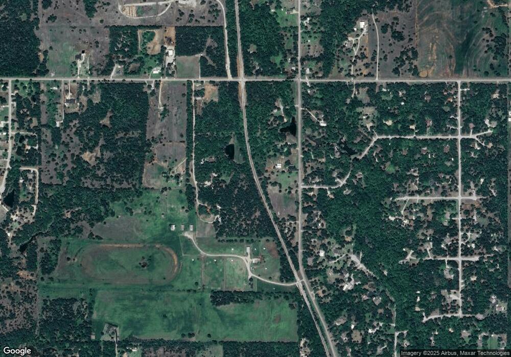
Map
Nearby Homes
- 172789 Trail Side Dr
- B1L4A Trail Side Dr
- B2L5 Trail Side Dr
- B3L9 Prospectors Ridge Dr
- B4 L11 Prospectors Ridge Dr
- 174085 N 2770 Rd
- 278045 278045 Hidden Creek Dr
- 7492 7492 W Seminole Rd
- 0000 N 58th St Unit D
- 1317 S 58th St
- 2086 N 44th St
- 0002 W Beech Ave Unit C
- 0001 W Beech Ave Unit B
- 0000 W Beech Ave Unit A
- 2149 2149 Patty Ln
- 3421 Salter St
- 2150 Drexal Place
- 625 Westview Rd
- 1359 Smith Rd
- 1385 Smith Rd
- 276809 E 1730 Rd
- 504 Prospectors Ridge Dr
- 602 Trail Side Dr
- 604 Trail Side Dr
- 604 Trail Side Dr Unit Dr.
- 606 Trail Side Dr
- 606 Trail Side Dr Unit Dr
- 222 Rr 1
- 172897 Prospectors Ridge Dr
- 605 Trail Side Dr
- 608 Trail Side Dr
- 608 Trail Side Dr
- 607 Trail Side Dr
- 612 Trail Side Dr
- 173164 N 2770 Rd
- 173164 173164 N 2770 Rd
- 172791 Prospectors Ct
- 217 Rr 1
- 603 Prospector's Ridge Dr
- 603 Prospectors Ridge Dr