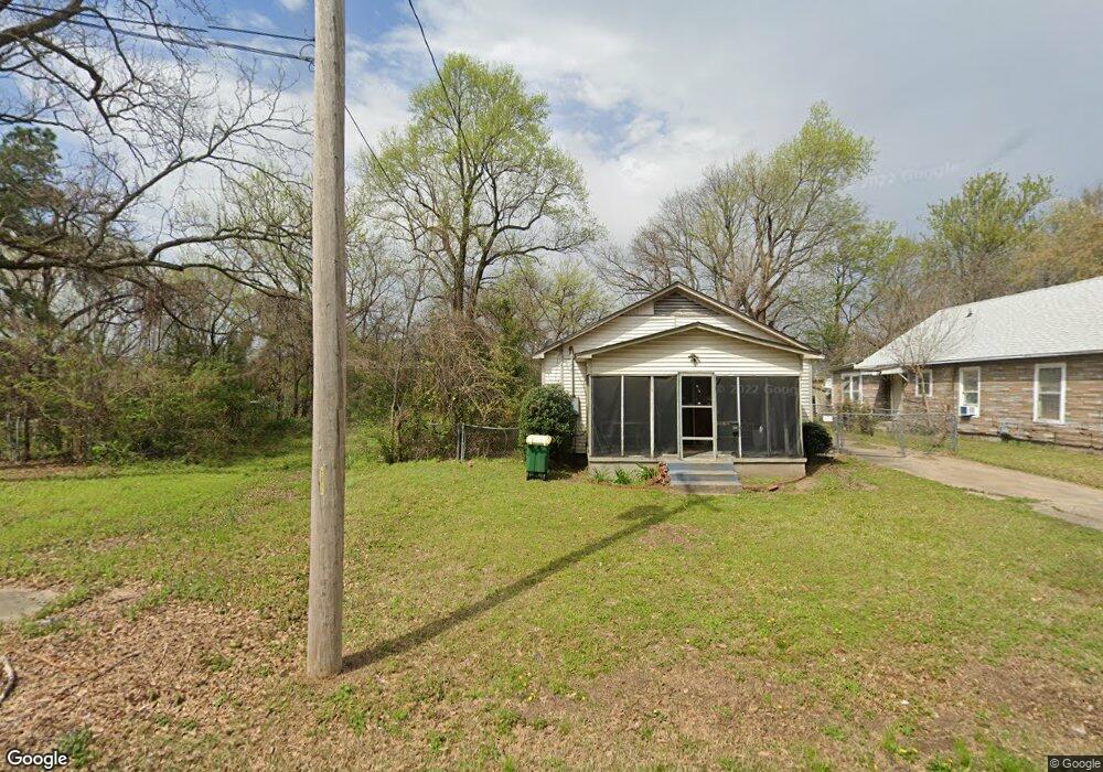
219 S Laurel St Unit A North Little Rock, AR 72114
Rose City NeighborhoodEstimated Value: $35,396 - $139,000
--
Bed
2
Baths
1,288
Sq Ft
$63/Sq Ft
Est. Value
About This Home
This home is located at 219 S Laurel St Unit A, North Little Rock, AR 72114 and is currently estimated at $81,599, approximately $63 per square foot. 219 S Laurel St Unit A is a home located in Pulaski County with nearby schools including Glenview Elementary School, North Little Rock Middle School 6th Grade Campus, and North Little Rock High School.
Ownership History
Date
Name
Owned For
Owner Type
Purchase Details
Closed on
Apr 9, 2021
Sold by
Petobego Llc
Bought by
Mitchell Charles
Current Estimated Value
Purchase Details
Closed on
Dec 17, 2020
Sold by
Commissioner Of State Lands
Bought by
Petobego Llc
Purchase Details
Closed on
Oct 19, 2009
Sold by
Petray W J and Killian Elizabeth Ann
Bought by
Blakesley Aseliner Scruggs and Blakesley Paul
Purchase Details
Closed on
Jan 6, 2004
Sold by
Petray W J
Bought by
Petray William J and Petray Montina
Purchase Details
Closed on
Jan 21, 1997
Sold by
Reynolds Martin C and Reynolds Jimmy C
Bought by
Reynolds Nalisha
Create a Home Valuation Report for This Property
The Home Valuation Report is an in-depth analysis detailing your home's value as well as a comparison with similar homes in the area
Home Values in the Area
Average Home Value in this Area
Purchase History
| Date | Buyer | Sale Price | Title Company |
|---|---|---|---|
| Mitchell Charles | -- | None Available | |
| Petobego Llc | -- | None Available | |
| Blakesley Aseliner Scruggs | $22,000 | None Available | |
| Petray William J | $6,000 | -- | |
| Reynolds Nalisha | -- | -- |
Source: Public Records
Tax History Compared to Growth
Tax History
| Year | Tax Paid | Tax Assessment Tax Assessment Total Assessment is a certain percentage of the fair market value that is determined by local assessors to be the total taxable value of land and additions on the property. | Land | Improvement |
|---|---|---|---|---|
| 2025 | $13 | $200 | $200 | -- |
| 2024 | $13 | $200 | $200 | -- |
| 2023 | $13 | $200 | $200 | $0 |
| 2022 | $383 | $200 | $200 | $0 |
| 2021 | $383 | $200 | $200 | $0 |
| 2020 | $568 | $200 | $200 | $0 |
| 2019 | $383 | $200 | $200 | $0 |
| 2018 | $13 | $200 | $200 | $0 |
| 2017 | $13 | $200 | $200 | $0 |
| 2016 | $222 | $3,320 | $500 | $2,820 |
| 2015 | $222 | $3,320 | $500 | $2,820 |
| 2014 | $222 | $3,320 | $500 | $2,820 |
Source: Public Records
Map
Nearby Homes
- 2614 Lincoln Ave
- 2307 E 2nd St
- 2704 Gribble St
- 2402 E Broadway St Unit 2410 E Broadway Stre
- 120 N Buckeye St
- 1812 E 4th St
- 315 Bender St
- 1106 Ferry St
- 114 N Walnut St
- 915 N E St
- 1004 E 11th St
- 1104 N F St
- 000 Highway 65 Unit Tract 6
- 000 Highway 65 Unit Tract 5
- 000 Highway 65 Unit Tract 4
- 000 Highway 65 Unit Tract 3
- 000 Highway 65 Unit Tract 2
- 000 Highway 65 Unit Tract 1
- 913 Welch St
- 915 Welch St
- 217 S Laurel St
- 221 S Laurel St
- 215 S Laurel St
- S Laurel St
- 211 S Laurel St
- 2301 Lincoln Ave
- 220 S Laurel St
- 218 S Laurel St
- 222 S Laurel St
- 210 S Linden St
- 2308 Arkansas Ave
- 2310 Arkansas Ave
- 209 S Laurel St
- 206 S Laurel St
- 2302 Arkansas Ave Unit 12
- 206 S Linden St
- 200 S Laurel St
- 2419 Lincoln Ave
- 120 S Laurel St
- 207 S Spruce St